KKH Cycling Expedition: Gilgit to Khunjerab | Go With Guide
Home
All Tours Cultural Tours Family Holidays Luxury Tours Camping Road Trips
K2 Treks Trending Treks High Passes Trekking Holidays All Treks
8000m Peaks 7000m Peaks 6000m Peaks High Passes
Cycle Touring Eco Tourism Motorcycle Touring Mountain Passes Festivals of Pakistan Ibex Hunting Snow Leopard International Travelers
About Us Vehicles Contact FAQs Blog
Plan Your Trip
The Karakoram Highway stretching toward the Karakoram peaks
Back to Tours
Cycling Karakoram Highway

KKH Cycling Expedition

The upper KKH to the China border, with real altitude management
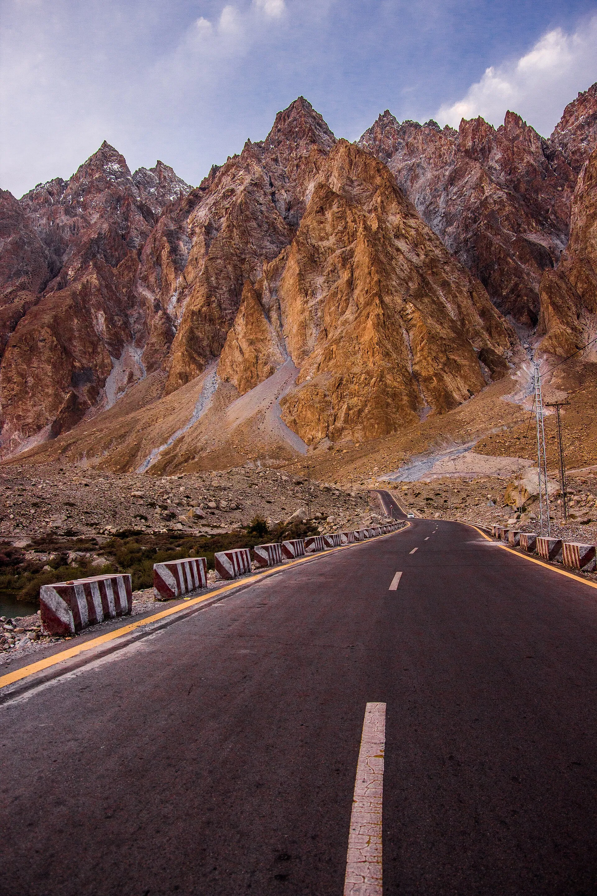
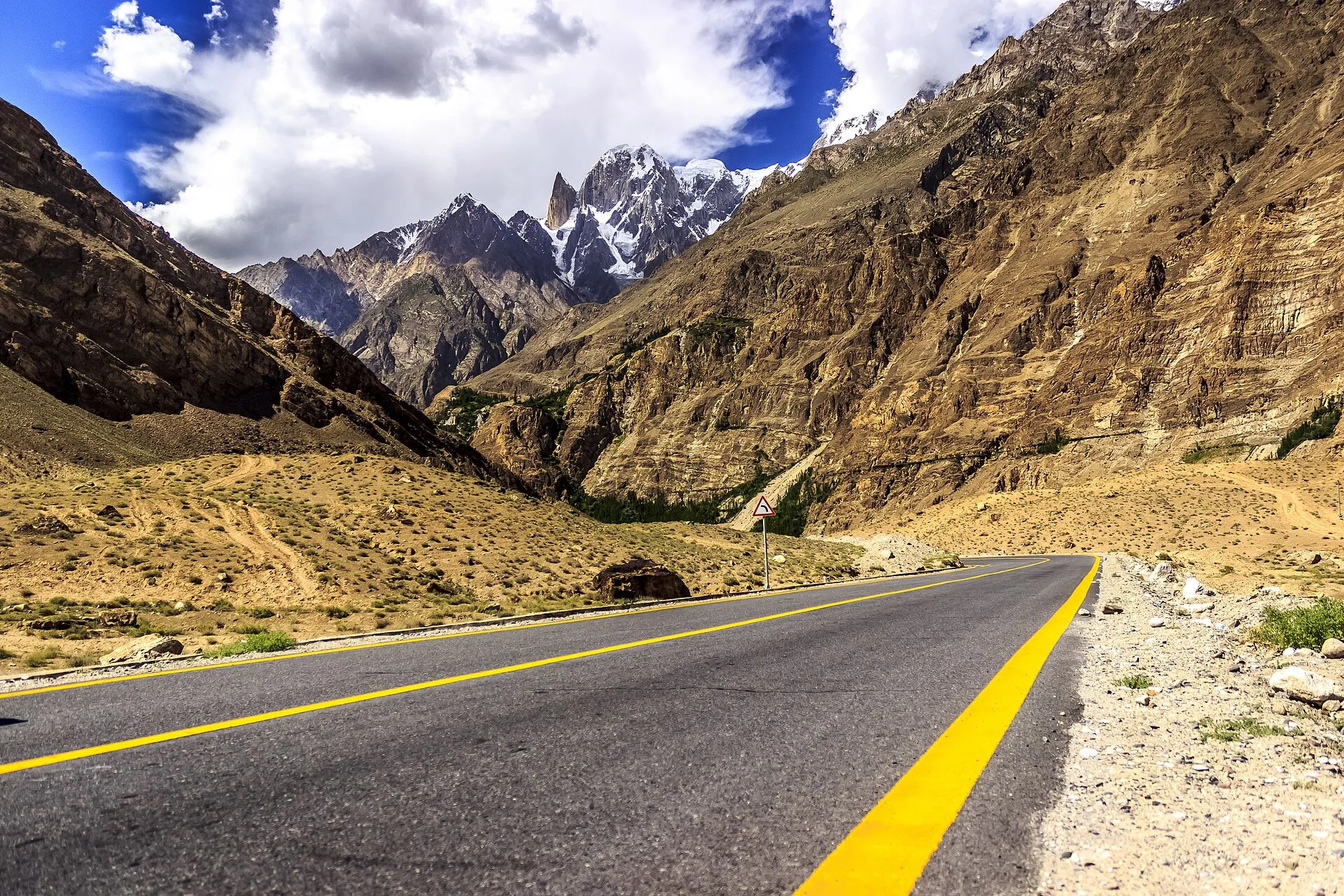
The Karakoram Highway stretching toward the Karakoram peaks
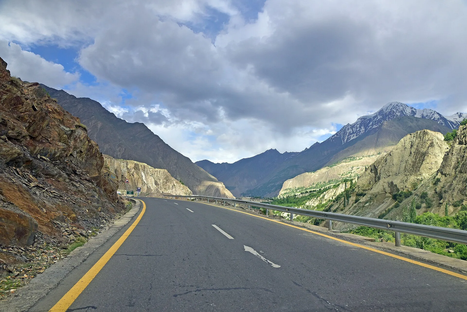
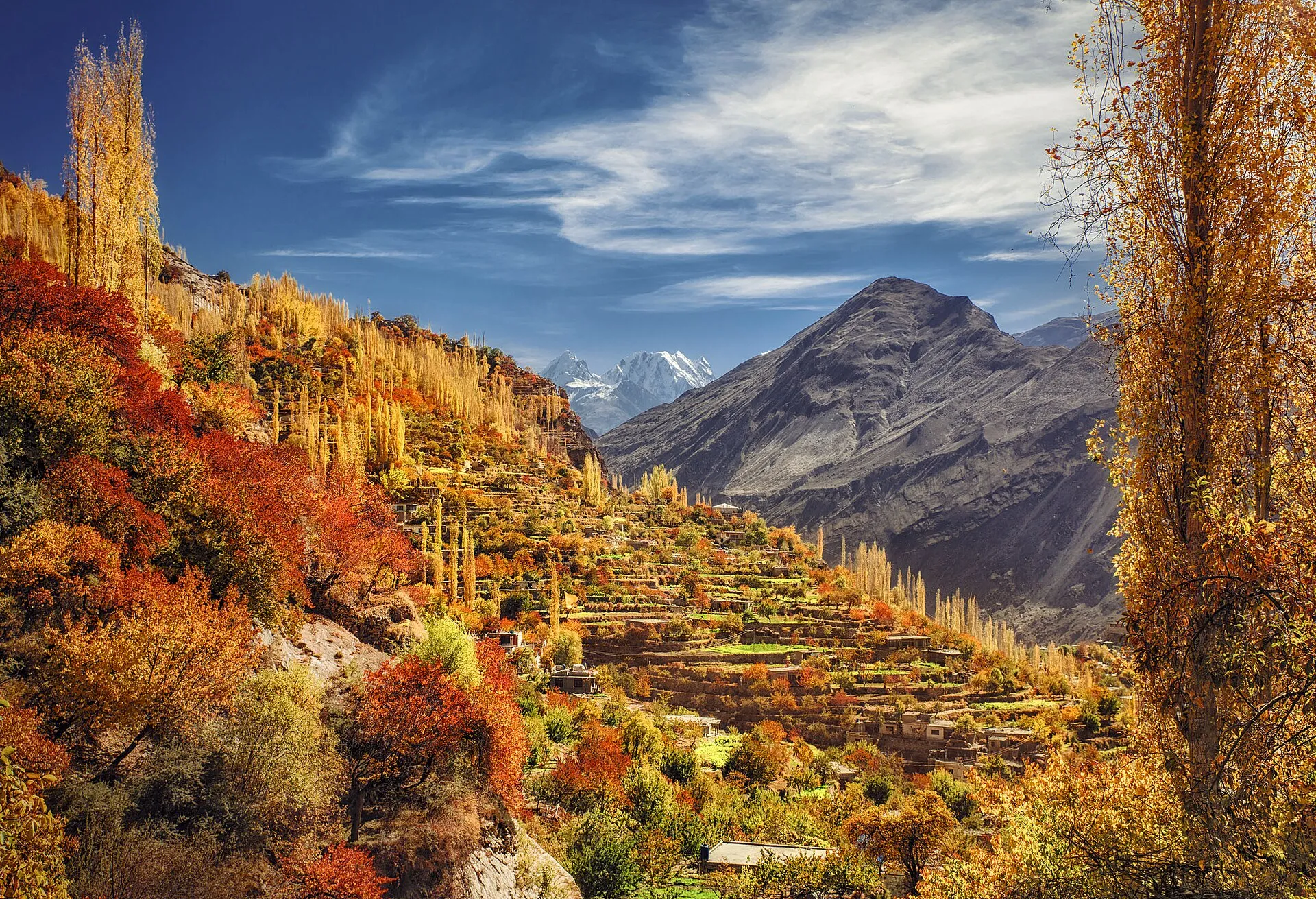
The Karakoram Highway through autumn trees in the Hunza Valley
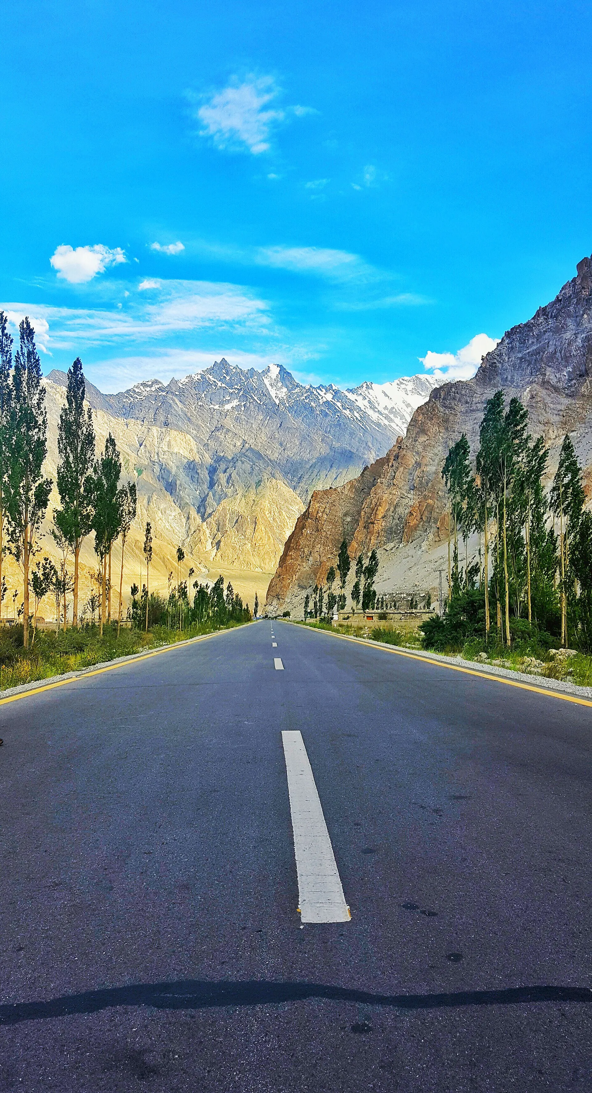
The Karakoram Highway lined with poplars below the peaks
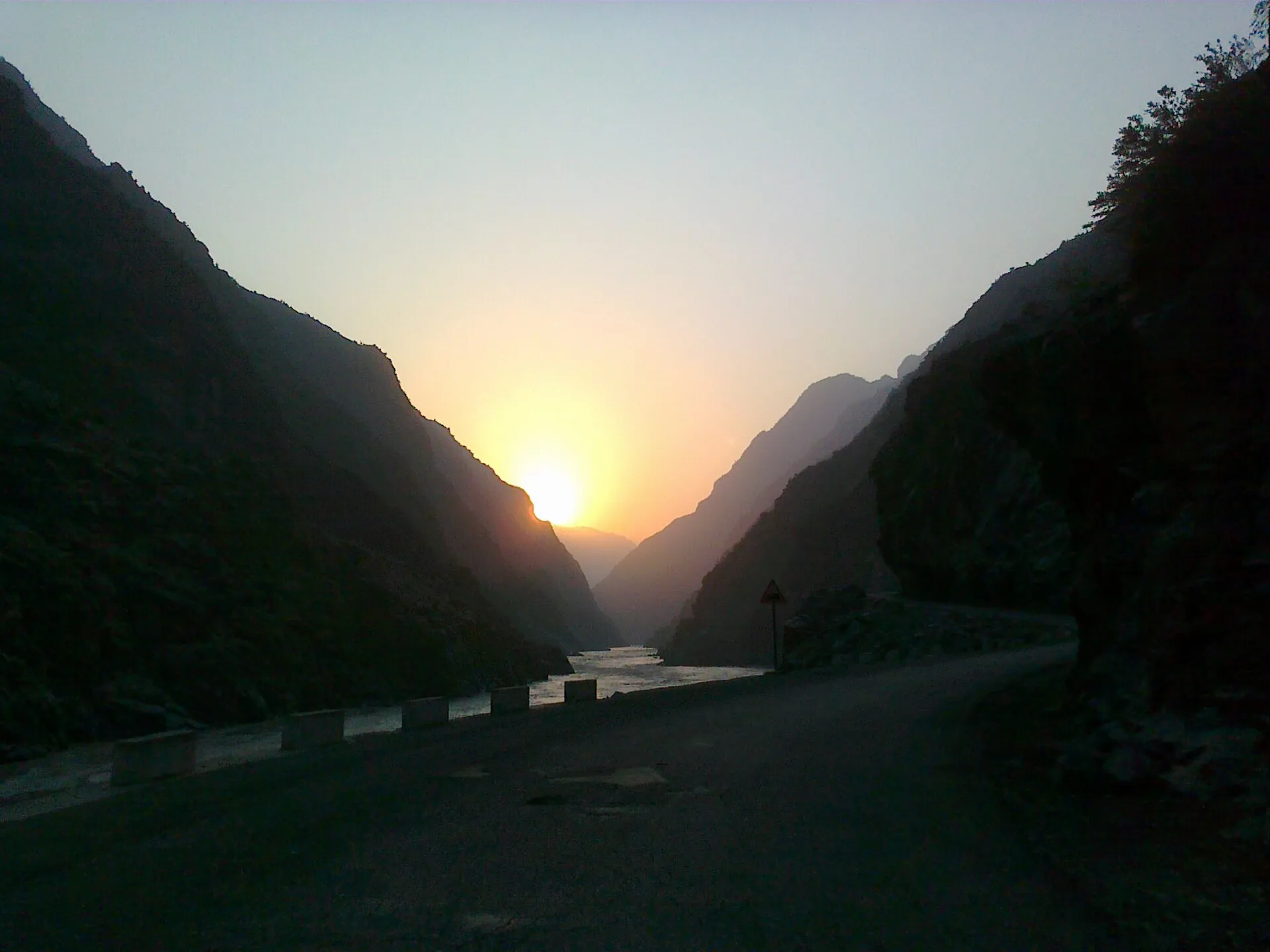
Sunrise over the Karakoram Highway in a mountain gorge
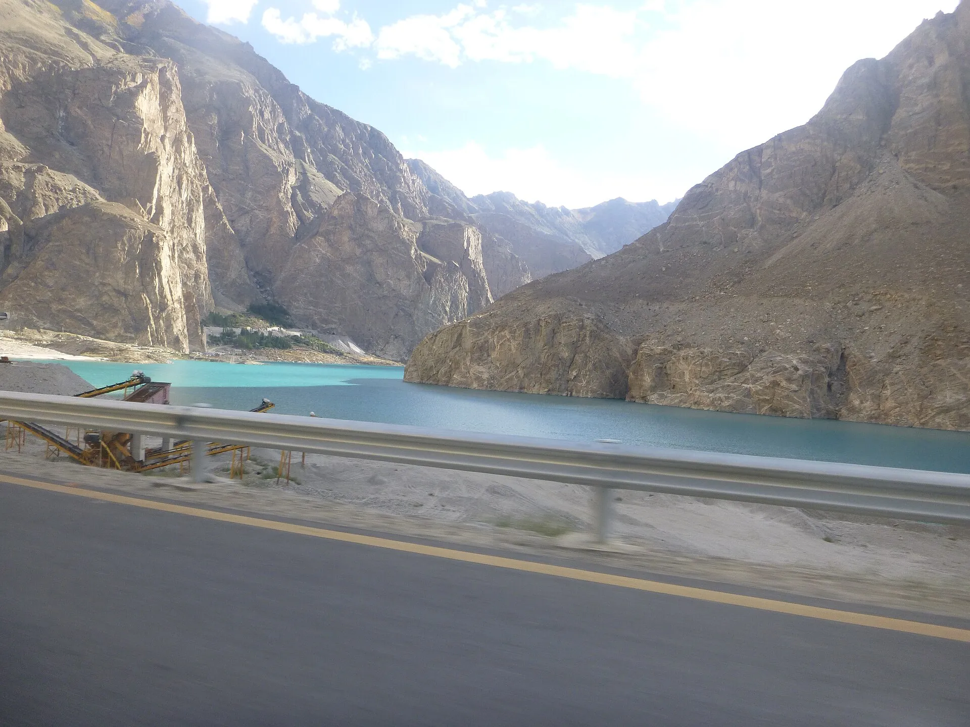
The Karakoram Highway beside turquoise Attabad Lake
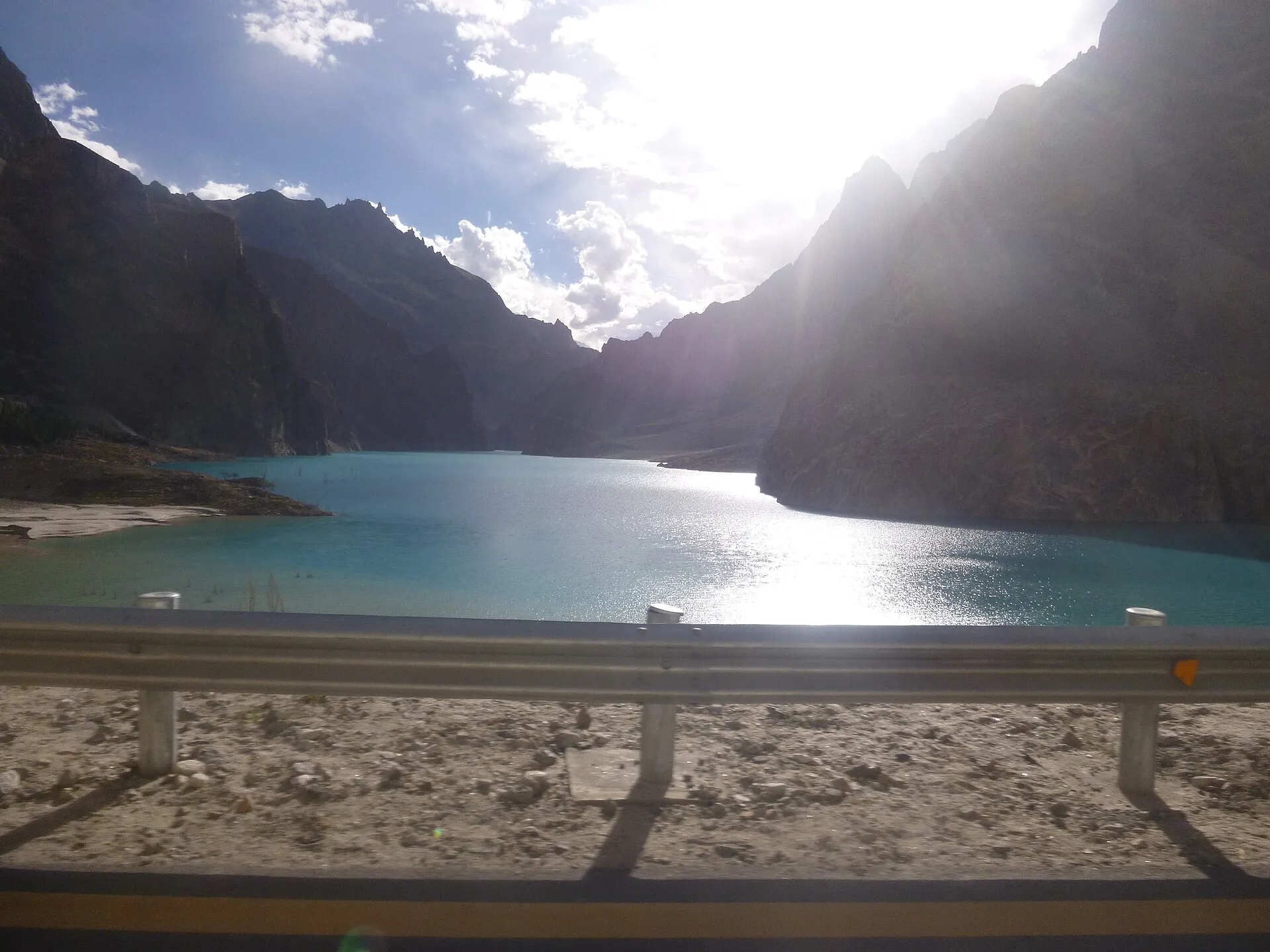
Attabad Lake glinting beside the Karakoram Highway
The Karakoram Highway below the jagged Passu Cones
Rakaposhi towering over the Karakoram Highway
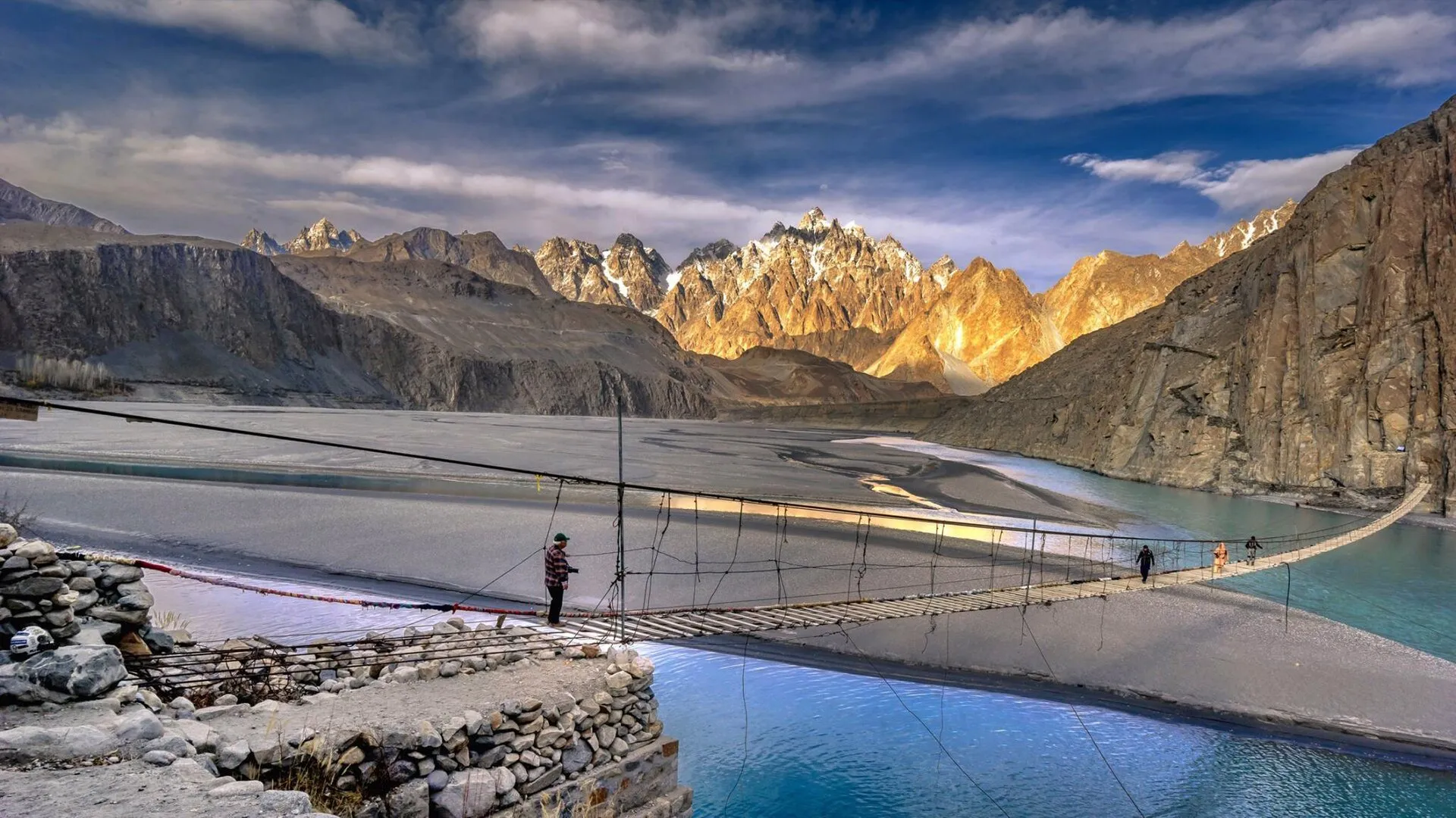
The Hussaini suspension bridge near the Karakoram Highway in Gojal
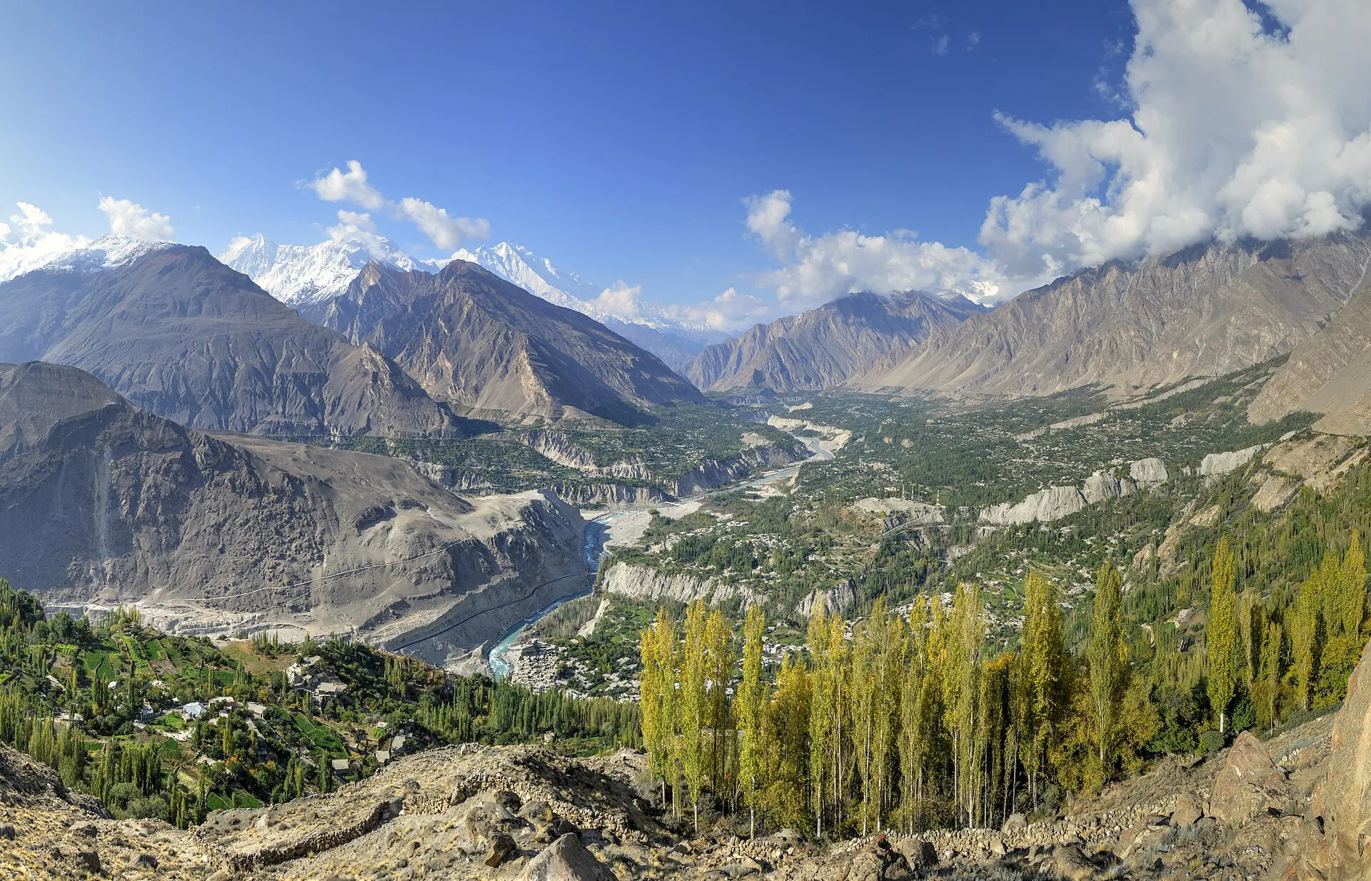
The Hunza Valley at Karimabad along the Karakoram Highway
Autumn colour in the Hunza Valley beside the Karakoram Highway
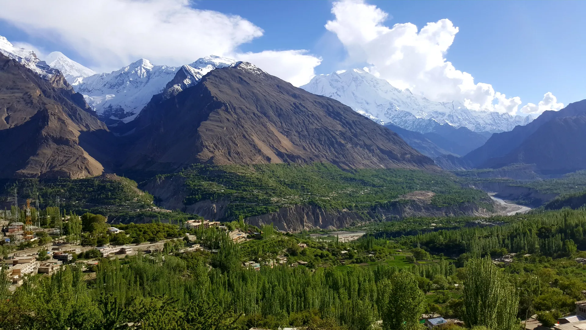
Panorama of the Hunza Valley from the Eagle's Nest at Duikar

Last updated: · Reviewed by Javeed Iqbal, Founder

Duration

7-9 Days

Difficulty

Challenging

Group Size

4-10 cyclists

Best Season

May-Oct

About This Tour

This is the to-the-border ride: a supported cycling expedition up the upper Karakoram Highway from Gilgit to Khunjerab Pass at 4,693 m, the highest paved international border crossing in the world. Be clear on scope. A true full-KKH cycle from the plains to the border is a three to five week endurance trip. This expedition covers the upper section only, roughly 270 km of core riding from Gilgit to Khunjerab and back, with the lower KKH handled by flight or vehicle so you spend your legs on the best and highest part.

You climb from Gilgit at about 1,500 m through Karimabad in the heart of Hunza, past the turquoise of Attabad Lake and the rock spires of the Passu Cones, up to Sost at around 2,490 m, and then on to the pass itself. The final push to Khunjerab is the crux: a long climb into thin air, exposed and cold, gaining nearly 1,000 m to the barrier at roughly 4,600 to 4,693 m where yaks graze the tundra of Khunjerab National Park. Reaching the top under your own power is the whole point of the trip.

The headline hazard is altitude. You start low and finish above 4,600 m, so acclimatization is not optional, and we build a rest day in Hunza into the staging to give your body time. The road is paved all the way to the border but the Khunjerab approach is windy, cold and high; snow can fall at the pass even in summer. The riding season is May to October, with June to September the dependable core, because Khunjerab is snow-closed from about late November to May.

Our KKH cycling expedition costs $2,500 and is fully supported. The vehicle carries first aid and oxygen, shuttles riders through the Attabad tunnels, manages foreigner registration at the checkposts, and sags anyone the altitude is grinding down. We ride in small groups with a road plan held in reserve, and we tell you honestly that the last day is hard. The reward is one of cycling's genuine summits.

The Route and the Daily Stages

The riding builds toward the pass. Gilgit to Karimabad is about 80 km with roughly 1,350 m of climbing into Hunza. Karimabad to Passu runs about 35 to 60 km via Attabad, with the long tunnel shuttled by vehicle. Passu to Sost is around 40 km including a 15 km climb to about 2,490 m. Then the crux: Sost to Khunjerab Pass, quoted at roughly 80 to 95 km depending on where you camp and turn, climbing about 970 m into very thin air at 4,600 to 4,693 m.

What goes up comes back down. The return legs off the pass are net descents, for example around 68 km losing about 1,450 m from the top back toward Sost and Passu, which is a fast and welcome reward after the climb. We keep the schedule flexible around weather at the top, because the pass can throw snow and wind at any time in summer.

Day-by-Day Itinerary

1

Fly to Gilgit, Build Bikes, Shakedown Spin

Fly Islamabad to Gilgit (1,500 m), weather permitting, skipping the long lower KKH. Bikes are assembled and fitted, followed by a short shakedown ride and a route and altitude briefing.
3

Gilgit to Karimabad, Into Hunza (about 80 km)

The first big ride: about 80 km with roughly 1,350 m of climbing from Gilgit up into Hunza, with Rakaposhi (7,788 m) dominating the view. Overnight in Karimabad at around 2,400 m.
6

Karimabad Acclimatization and Rest

A deliberate rest day to acclimatize before the high climbs. Walk to Baltit Fort, parts of which date to the 13th century, and let your body adapt with an easy optional spin near town.
8

Karimabad to Passu via Attabad (35 to 60 km)

Ride to Attabad Lake, roughly 35 to 60 km with more descent than climb. You are shuttled through the long 2.5 km Attabad tunnel by support vehicle, then ride on to Passu beneath the Passu Cones.
10

Passu to Sost (about 40 km)

About 40 km to Sost (around 2,490 m), Pakistan's last town before China, including a 15 km climb. Foreigner registration at the checkpost; final gear and layering check for the cold high day ahead.
13

Crux Day, Sost to Khunjerab Pass (4,693 m)

The big one: a long climb of roughly 80 to 95 km gaining about 970 m into thin air to the barrier at 4,600 to 4,693 m. Support vehicle sags riders as needed; summit photos with grazing yaks, then descend out of the cold.
15

Descend and Return, Fly Out

Enjoy the net descent off the pass, losing well over 1,000 m, then transfer or fly Gilgit to Islamabad. Crossing into China is not possible by bike without a Chinese visa and pre-arranged transport.

How Hard Is It to Cycle the KKH to Khunjerab?

Hard, and the difficulty is altitude as much as distance. Below Sost the riding is moderate and the gradients are truck-friendly, but the final climb to 4,693 m puts you in air with a fraction of the oxygen you train in, and pace collapses no matter how fit you are. This is real AMS terrain. We acclimatize deliberately, hold a rest day in Hunza, watch every rider for headaches and nausea, and carry oxygen and first aid in the vehicle.

You do not have to pedal every metre to call it a success. The support vehicle sags riders on the Khunjerab climb whenever the altitude wins, and plenty of strong cyclists take a lift for part of the final push and still stand on the pass. Cold and wind at the top are serious; we ride the summit day in layers and do not linger if the weather turns.

Bikes, Support Vehicle and Checkposts

A 4WD support vehicle shadows the group the whole expedition, carrying luggage, spares, first aid and oxygen, shuttling the long Attabad tunnel, and handling the mandatory foreigner registration at the KKH checkposts, so carry your passport and several photocopies. We provide quality touring bikes and helmets, but reliable high-end bicycles are hard to source up north, so if fit matters to you, bring your own machine or arrange it with us well ahead of the trip.

Note what the local fleet actually is: rentals here are 125 to 150 cc motorbikes, not premium bicycles, so do not assume a tour-grade road bike is waiting in Gilgit. Diesel is more widely available than petrol in the north, which we plan the support vehicle around. The China border itself cannot be crossed by bike without a Chinese visa and pre-arranged Chinese transport, so the pass is the turnaround point.

Best Time and Permits for Khunjerab

Ride May to October, with June to September the reliable core. Khunjerab is closed by snow from roughly late November to the start of May, and even in summer the pass can be cold, windy and dusted with fresh snow. The pass sits inside Khunjerab National Park, so there is an entry fee, and foreigners register at several checkposts along the way. We arrange the park fee and walk you through the paperwork.

Why Book With Us

We are a Gilgit-Baltistan operator who has run the upper KKH to Khunjerab since 2015, and we are precise about what this trip is: the upper 270 km, not a full-KKH overclaim. We stage acclimatization properly, carry oxygen, shuttle the tunnels, handle the checkpost registration, and sag riders the altitude beats. You are booking a team that knows exactly where the hard day lives and how to get you over it safely.

What's Included

Quality touring bicycle hire (or client's own bike transport)
4WD support vehicle with mechanic for full route
All accommodation (guesthouses along KKH, 14-21 nights)
All meals throughout
Fuel for support vehicle & spare parts kit
Khunjerab National Park cycling fees

Not Included

International flights
Travel insurance
Personal expenses and tips

Frequently Asked Questions

Is it safe to cycle in Pakistan?

Yes, the upper KKH from Gilgit to Khunjerab is among the safer cycling routes in the country and is ridden every summer. We fly you from Islamabad to Gilgit, weather permitting, to skip the lower KKH entirely, so all your riding happens in Gilgit-Baltistan and Hunza. A 4WD support vehicle with a mechanic shadows the group for the whole expedition, carrying first aid, oxygen, luggage and spares. It shuttles you through the long, dark Attabad tunnel rather than having you ride it among trucks, and it manages the mandatory foreigner registration at the KKH checkposts. The genuine risks are altitude, cold and traffic, and we plan for all three. The final climb to 4,693 m is real altitude-sickness terrain, snow can fall at the pass even in summer, and the road carries freight. We ride in small groups, keep a road plan in reserve and give a lift to anyone who is struggling.

Is this the full Karakoram Highway?

No, and we are precise about that. A full-KKH cycle from the plains to the border is a three to five week endurance trip. This expedition is the upper section only, about 270 km of core riding from Gilgit to Khunjerab and back, with the lower KKH done by flight or vehicle so your legs go to the best part. That upper section is where the big mountain riding is. You climb from Gilgit at about 1,500 m into Hunza with Rakaposhi in view, ride past Attabad Lake and the Passu Cones, reach Sost at around 2,490 m and then take on the long climb to the pass at 4,693 m. Keeping the ride to this stretch is also what lets us fit acclimatisation and a rest day into a trip of a sensible length. If you want the whole road end to end, our KKH Complete tour drives it by private 4x4.

How hard is it to cycle the KKH to Khunjerab?

Hard, mainly because of altitude. The riding below Sost is moderate, with truck-friendly gradients, but the final climb to 4,693 m is into very thin air and pace collapses for everyone, however fit. The first big ride, Gilgit to Karimabad, is about 80 km with roughly 1,350 m of climbing, and the crux, Sost to Khunjerab, is roughly 80 to 95 km gaining about 970 m. Cold and wind at the top are serious as well, and snow can fall there even in summer. We acclimatise with a rest day in Hunza, carry oxygen, and sag riders on the climb, so you can stand on the pass even if you take a lift for part of it. Plenty of strong cyclists do exactly that. You should arrive with the fitness for several consecutive days in the saddle, though you do not need racing form, and the fast descent off the pass is a good reward.

What is the cycling distance from Gilgit to Khunjerab?

About 270 km of core riding one way to the pass and back across the upper section. The crux Sost to Khunjerab leg alone is quoted at roughly 80 to 95 km depending on the camp, climbing about 970 m to the border at 4,600 to 4,693 m. The stages that build up to it are shorter. Gilgit to Karimabad is about 80 km with roughly 1,350 m of climbing into Hunza. Karimabad to Passu runs about 35 to 60 km via Attabad Lake, with more descent than climb and the 2.5 km tunnel shuttled by vehicle. Passu to Sost is around 40 km, including a 15 km climb. Coming back is much quicker, because the return off the pass is a net descent, for example around 68 km losing about 1,450 m towards Sost and Passu. Exact figures move with where we camp and turn each day, which is why we quote ranges rather than single numbers.

How do you manage altitude sickness?

We stage the climb deliberately and build a rest day into Hunza before the high days. You fly into Gilgit at about 1,500 m, ride up to Karimabad at around 2,400 m, and then spend a full day there letting your body adapt, with a walk to Baltit Fort and an optional easy spin near town. Only after that do you move on to Passu and to Sost at around 2,490 m ahead of the final climb. The support vehicle carries oxygen and first aid, we watch every rider for headaches and nausea, the early signs of mountain sickness, and we sag anyone the altitude is grinding down rather than push them up to 4,693 m unwell. At the top we keep the stay short, wrap up against the cold and wind, and start down, since losing height is the quickest remedy. Tell us about any past altitude problems when you book so we can plan around them.

When is the best time to cycle to Khunjerab?

May to October, with June to September the dependable core. Khunjerab is snow-closed from about late November to May, and even in summer the pass can be cold, windy and dusted with fresh snow, so we keep the summit day flexible around the weather. The weeks at either end of the season sit closer to that closure, so the core summer months give the most reliable conditions for the whole route, including the high day. Whenever you come, pack proper layers for the crux. You ride from Sost at around 2,490 m up into open tundra where yaks graze at over 4,600 m, and exposure to wind up there makes it feel wintry even when Hunza is warm. We would rather move the summit day than send riders up in bad weather, which is one reason the schedule is never fixed to the hour. Lower down, summer riding in Hunza can be warm.

Do I need permits, and can I cross into China?

No special permit is needed for the ride itself, but foreigners register at several checkposts along the KKH, so carry your passport and several photocopies. The pass sits inside Khunjerab National Park, which charges an entry fee we arrange, and the park's cycling fees are included in the $2,500. Our support vehicle takes care of the registration process, including the checkpost at Sost, Pakistan's last town before China, where you register before the high day. You cannot cross into China by bike without a Chinese visa and pre-arranged Chinese transport, so the pass is the turnaround. After summit photos at the barrier, with yaks grazing on the tundra around it, we descend back out of the cold towards Sost and Passu. So the paperwork on your side comes down to a valid Pakistan visa, your passport and those photocopies, kept somewhere you can reach them quickly on the road.

What is included for $2,500?

The $2,500 covers quality bike and helmet hire, the 4WD support vehicle with mechanic, all accommodation and meals on the route, spare parts and support fuel, and the Khunjerab National Park cycling fees. Accommodation is in guesthouses along the KKH, and if you bring your own bike we cover transporting it instead of the hire. The support vehicle also carries first aid and oxygen, shuttles riders through the Attabad tunnel and handles checkpost registration, so those are part of the price too. Flights, personal gear and travel insurance are not included, and neither are personal expenses or tips. Reliable high-end bicycles are hard to source in the north, so bring your own bike if fit is critical to you, and let us know well ahead of the trip so we can arrange it. It is worth checking that your insurance covers cycling at altitude, since the pass sits at 4,693 m.

From

$2,500

per person

* Prices may vary. Contact us for accurate, customized pricing.

Duration7-9 Days
DifficultyChallenging
Group Size4-10 cyclists
Best SeasonMay-Oct
Max Altitude4,693 m
Book This Tour Ask a Question

Free cancellation up to 30 days before departure

Ready for Your Next Adventure?

Join our community of explorers and discover the journey of a lifetime. Our expert team is ready to help you plan your perfect expedition.