KKH Cycling Expedition
The upper KKH to the China border, with real altitude management
Duration
7–9 Days
Difficulty
Moderate
Group Size
4–10 cyclists
Best Season
Apr–Oct
About This Tour
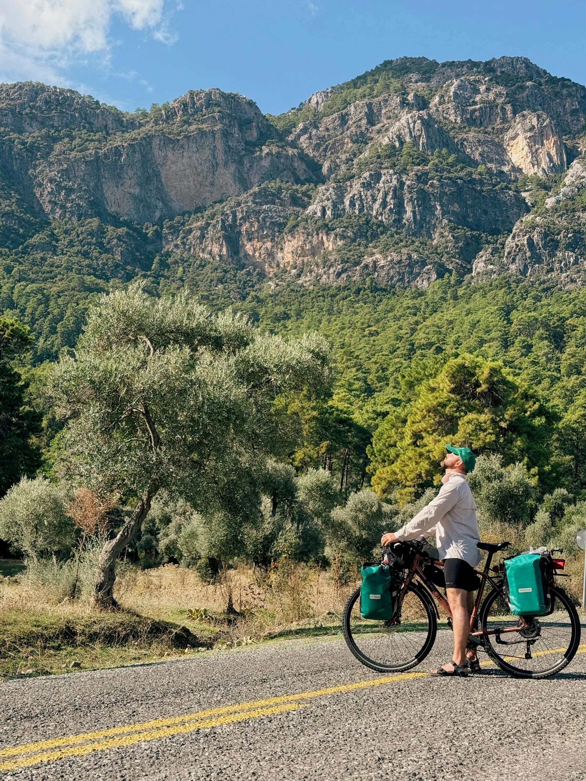
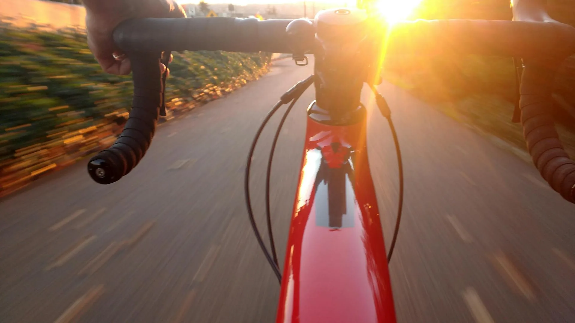
This is the to-the-border ride: a supported cycling expedition up the upper Karakoram Highway from Gilgit to Khunjerab Pass at 4,693 m, the highest paved international border crossing in the world. Be clear on scope. A true full-KKH cycle from the plains to the border is a three to five week endurance trip. This expedition covers the upper section only, roughly 270 km of core riding from Gilgit to Khunjerab and back, with the lower KKH handled by flight or vehicle so you spend your legs on the best and highest part.
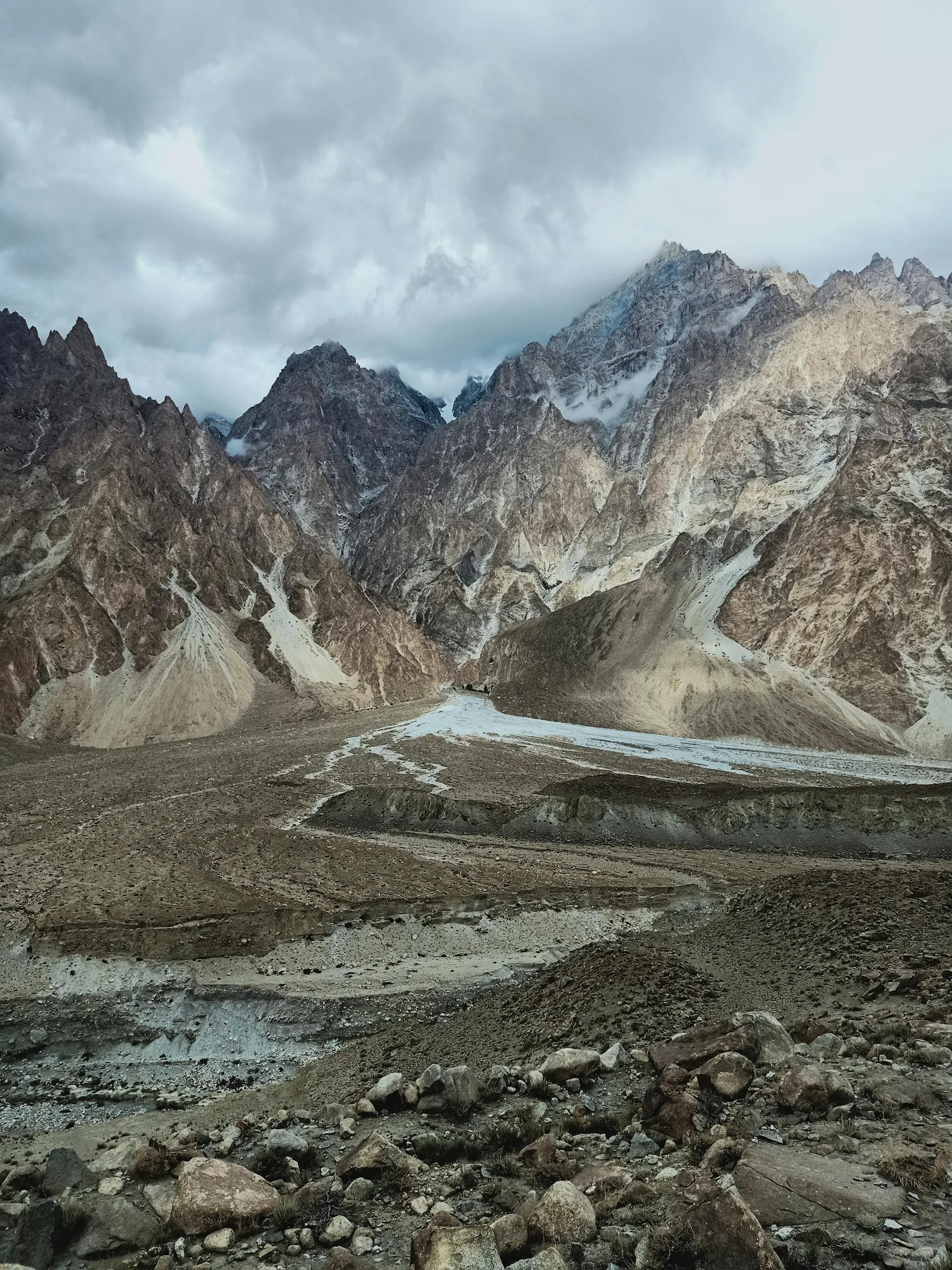
You climb from Gilgit at about 1,500 m through Karimabad in the heart of Hunza, past the turquoise of Attabad Lake and the rock spires of the Passu Cones, up to Sost at around 2,490 m, and then on to the pass itself. The final push to Khunjerab is the crux: a long climb into thin air, exposed and cold, gaining nearly 1,000 m to the barrier at roughly 4,600 to 4,693 m where yaks graze the tundra of Khunjerab National Park. Reaching the top under your own power is the whole point of the trip.
The headline hazard is altitude. You start low and finish above 4,600 m, so acclimatization is not optional, and we build a rest day in Hunza into the staging to give your body time. The road is paved all the way to the border but the Khunjerab approach is windy, cold and high; snow can fall at the pass even in summer. The riding season is May to October, with June to September the dependable core, because Khunjerab is snow-closed from about late November to May.
Our KKH cycling expedition costs $2,500 and is fully supported. The vehicle carries first aid and oxygen, shuttles riders through the Attabad tunnels, manages foreigner registration at the checkposts, and sags anyone the altitude is grinding down. We ride in small groups with a road plan held in reserve, and we tell you honestly that the last day is hard. The reward is one of cycling's genuine summits.
The Route and the Daily Stages
The riding builds toward the pass. Gilgit to Karimabad is about 80 km with roughly 1,350 m of climbing into Hunza. Karimabad to Passu runs about 35 to 60 km via Attabad, with the long tunnel shuttled by vehicle. Passu to Sost is around 40 km including a 15 km climb to about 2,490 m. Then the crux: Sost to Khunjerab Pass, quoted at roughly 80 to 95 km depending on where you camp and turn, climbing about 970 m into very thin air at 4,600 to 4,693 m.
What goes up comes back down. The return legs off the pass are net descents, for example around 68 km losing about 1,450 m from the top back toward Sost and Passu, which is a fast and welcome reward after the climb. We keep the schedule flexible around weather at the top, because the pass can throw snow and wind at any time in summer.
Day-by-Day Itinerary
1Fly to Gilgit, Build Bikes, Shakedown Spin
Fly to Gilgit, Build Bikes, Shakedown Spin
3Gilgit to Karimabad, Into Hunza (about 80 km)
Gilgit to Karimabad, Into Hunza (about 80 km)
6Karimabad Acclimatization and Rest
Karimabad Acclimatization and Rest
8Karimabad to Passu via Attabad (35 to 60 km)
Karimabad to Passu via Attabad (35 to 60 km)
10Passu to Sost (about 40 km)
Passu to Sost (about 40 km)
13Crux Day, Sost to Khunjerab Pass (4,693 m)
Crux Day, Sost to Khunjerab Pass (4,693 m)
15Descend and Return, Fly Out
Descend and Return, Fly Out
How Hard Is It to Cycle the KKH to Khunjerab?
Hard, and the difficulty is altitude as much as distance. Below Sost the riding is moderate and the gradients are truck-friendly, but the final climb to 4,693 m puts you in air with a fraction of the oxygen you train in, and pace collapses no matter how fit you are. This is real AMS terrain. We acclimatize deliberately, hold a rest day in Hunza, watch every rider for headaches and nausea, and carry oxygen and first aid in the vehicle.
You do not have to pedal every metre to call it a success. The support vehicle sags riders on the Khunjerab climb whenever the altitude wins, and plenty of strong cyclists take a lift for part of the final push and still stand on the pass. Cold and wind at the top are serious; we ride the summit day in layers and do not linger if the weather turns.
Bikes, Support Vehicle and Checkposts
A 4WD support vehicle shadows the group the whole expedition, carrying luggage, spares, first aid and oxygen, shuttling the long Attabad tunnel, and handling the mandatory foreigner registration at the KKH checkposts, so carry your passport and several photocopies. We provide quality touring bikes and helmets, but reliable high-end bicycles are hard to source up north, so if fit matters to you, bring your own machine or arrange it with us well ahead of the trip.
Note what the local fleet actually is: rentals here are 125 to 150 cc motorbikes, not premium bicycles, so do not assume a tour-grade road bike is waiting in Gilgit. Diesel is more widely available than petrol in the north, which we plan the support vehicle around. The China border itself cannot be crossed by bike without a Chinese visa and pre-arranged Chinese transport, so the pass is the turnaround point.
Best Time and Permits for Khunjerab
Ride May to October, with June to September the reliable core. Khunjerab is closed by snow from roughly late November to the start of May, and even in summer the pass can be cold, windy and dusted with fresh snow. The pass sits inside Khunjerab National Park, so there is an entry fee, and foreigners register at several checkposts along the way. We arrange the park fee and walk you through the paperwork.
Why Book With Us
We are a Gilgit-Baltistan operator who has run the upper KKH to Khunjerab since 2015, and we are precise about what this trip is: the upper 270 km, not a full-KKH overclaim. We stage acclimatization properly, carry oxygen, shuttle the tunnels, handle the checkpost registration, and sag riders the altitude beats. You are booking a team that knows exactly where the hard day lives and how to get you over it safely.
What's Included
Not Included
Frequently Asked Questions
Is it safe to cycle in Pakistan?
Is it safe to cycle in Pakistan?
Is this the full Karakoram Highway?
Is this the full Karakoram Highway?
How hard is it to cycle the KKH to Khunjerab?
How hard is it to cycle the KKH to Khunjerab?
What is the cycling distance from Gilgit to Khunjerab?
What is the cycling distance from Gilgit to Khunjerab?
How do you manage altitude sickness?
How do you manage altitude sickness?
When is the best time to cycle to Khunjerab?
When is the best time to cycle to Khunjerab?
Do I need permits, and can I cross into China?
Do I need permits, and can I cross into China?
What is included for $2,500?
What is included for $2,500?
Ready for Your Next Adventure?
Join our community of explorers and discover the journey of a lifetime. Our expert team is ready to help you plan your perfect expedition.