Bagrote Valley Trek: Gargo, Barche & Diran
Two hours from Gilgit, camps at the summer pastures under Rakaposhi and Diran
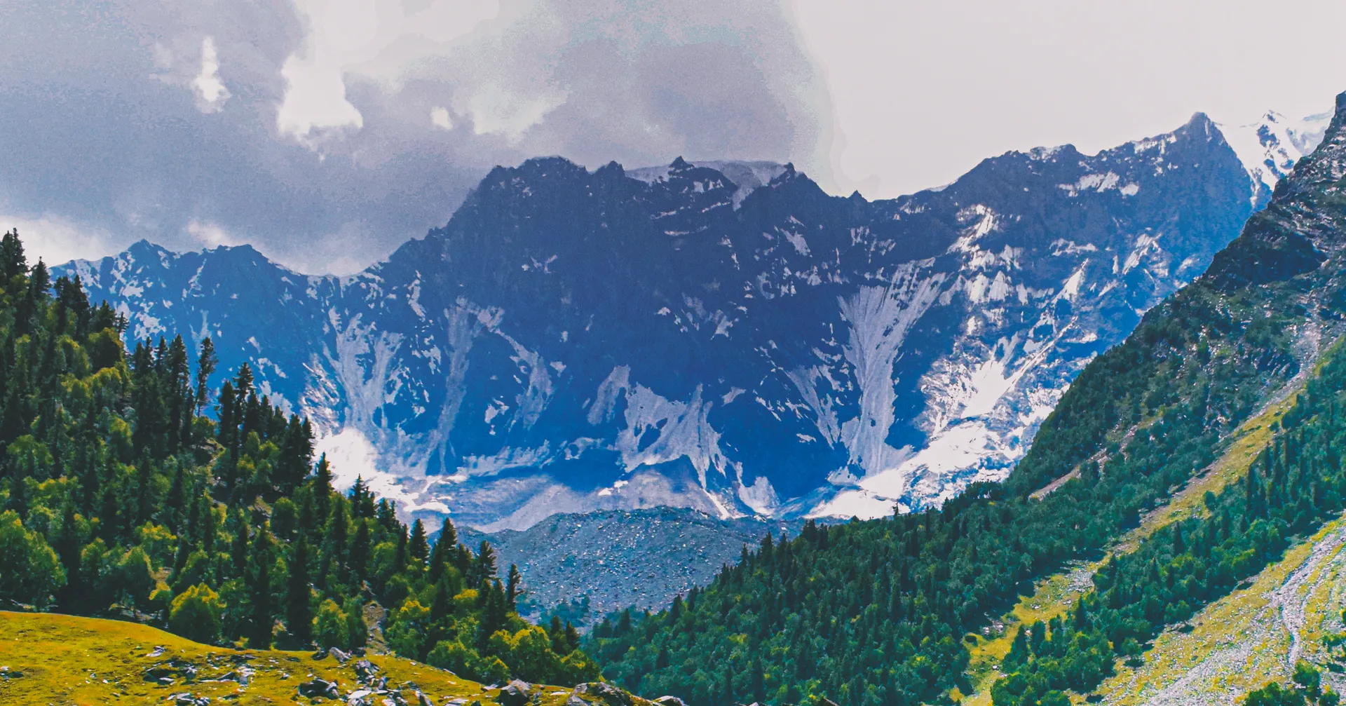
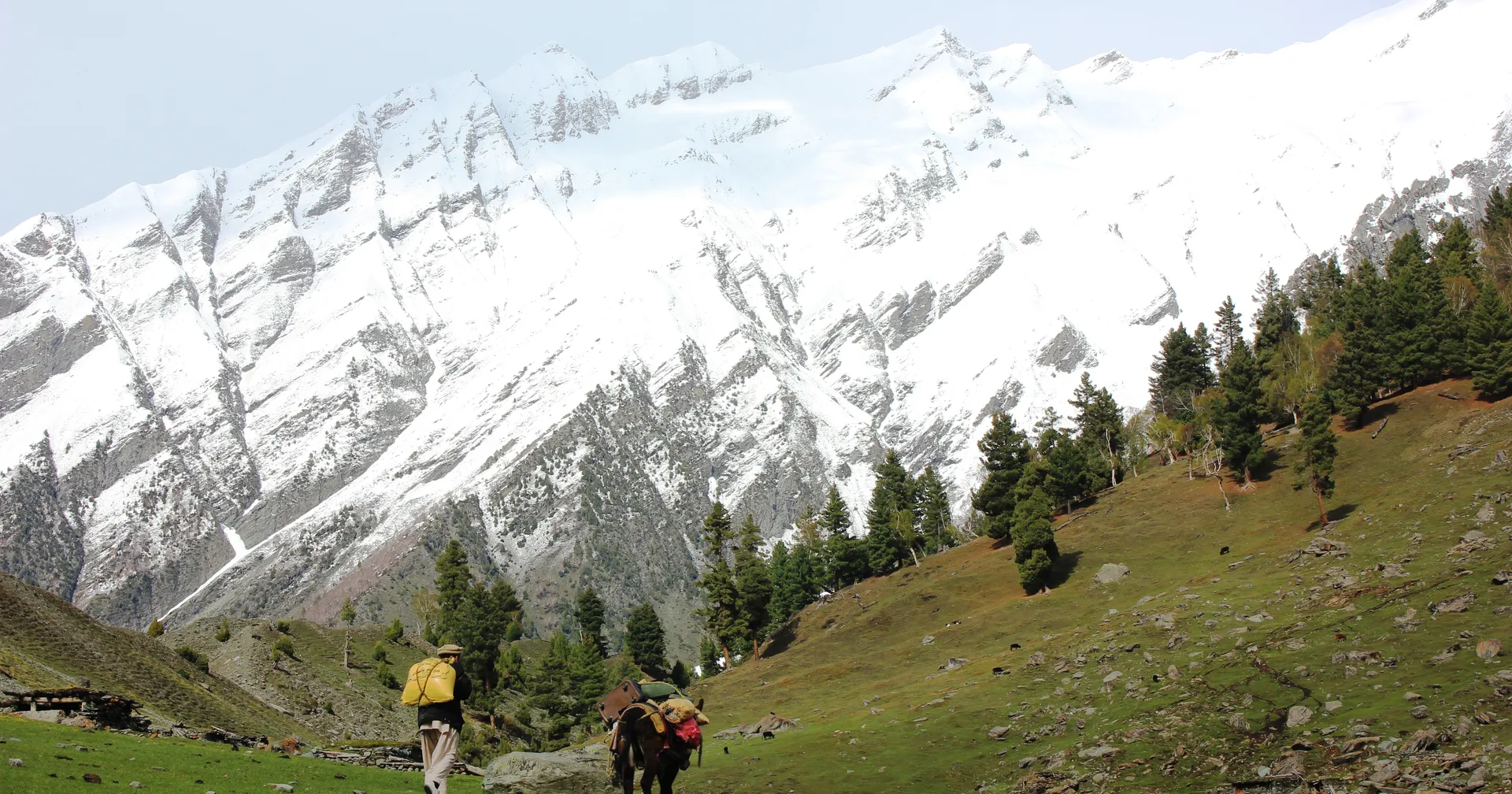
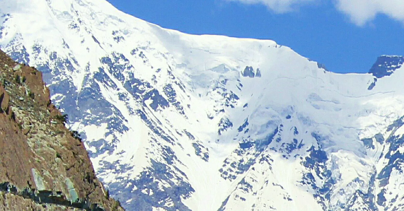
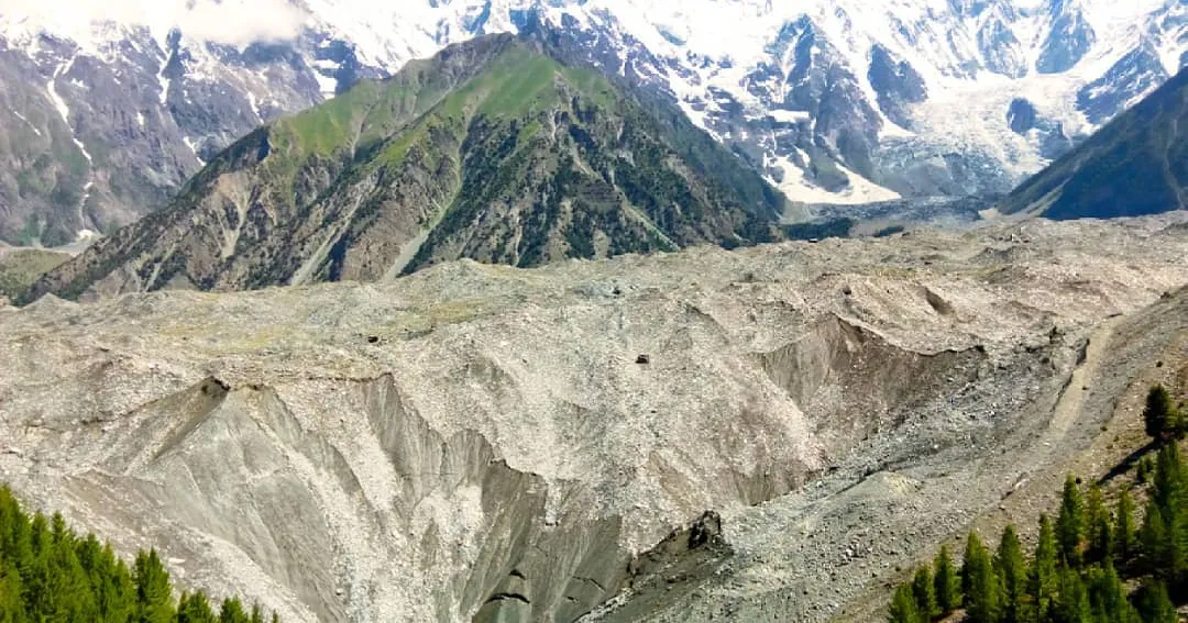
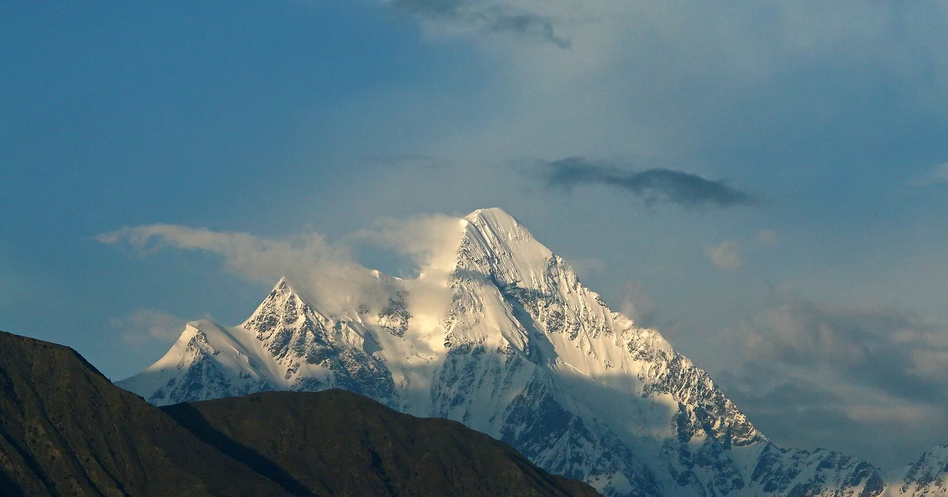
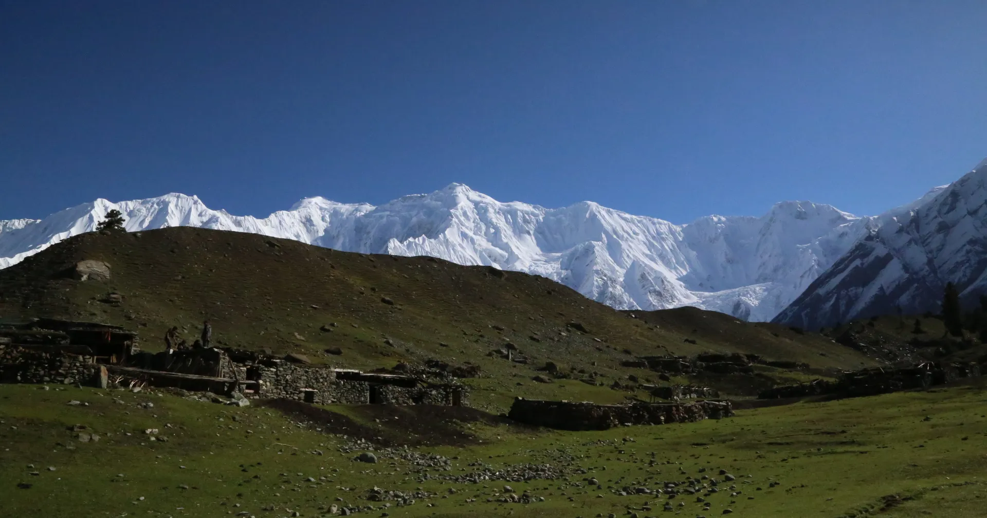
Bagrote Valley photos by Hussainian786, Adnan Temur Barcha, Mohsin ali khushall and Imran Shah via Wikimedia Commons (CC BY-SA).
Last updated: · Reviewed by Javeed Iqbal, Founder
Duration
5-7 Days
Difficulty
Moderate
Group Size
2-12 People
Best Season
Jun-Sep
About This Tour
Bagrote is the valley that starts 38 km from Gilgit and ends under Rakaposhi (7,788 m) and Diran (7,266 m). Two hours by jeep from the city, about three hours on foot from the road head, and you are camped on Gargo Meadows with a 7,000 metre face at the head of the valley.
It is the shortest way we know to sleep under big Karakoram mountains without a Skardu flight, a week of driving or a glacier approach. That makes it the trip we suggest when someone has a few spare days in Gilgit and does not want to spend them in a jeep.
The trek works in stages. Gargo Meadows is a half-day walk and the reason most people come. The Barche side above Hopay is rougher and quieter, an overnight rather than a day trip. Above both, the moraine route beside the Hinarche glacier runs up to Diran base camp at 4,300 m for anyone who wants the full walk.
We run it from Gilgit with local guides from the valley, jeeps to the upper villages, and camps at the pastures. Bagrote is a working farming valley of about 10,000 Shina-speaking people, so we keep the groups small and the camps tidy. Read our full Bagrote Valley trek guide
The Route from Gilgit
Bagrote opens east off the Karakoram Highway just north of Gilgit and climbs through Sinaker, Datuchi, Bulchi, Farfu and Chirah to Hopay, the last main village. The valley floor sits around 2,500 m and the glacier heads reach about 4,500 m. The drive is paved at first, then a jeep track that needs a 4x4 and a driver who knows it.
From the upper road it is roughly three hours of steady uphill walking to Gargo Meadows, a broad grazing pasture with shepherd huts and Diran filling the skyline. That is our first camp, and for shorter trips it is the turning point.
Beyond Gargo the walking gets rougher. The Barche grazing grounds and glacier sit above Hopay on the other side of the upper valley, and the Hinarche glacier moraine leads on to Tagaphari at about 3,500 m and Diran base camp at 4,300 m. None of it needs ropes or crampons in summer, but moraine is loose, tiring ground and the weather at 4,000 m changes fast.
Day-by-Day Itinerary
1Islamabad to Gilgit
Islamabad to Gilgit
2Gilgit: acclimatisation day
Gilgit: acclimatisation day
3Gilgit to Bagrote, trek to Gargo Meadows
Gilgit to Bagrote, trek to Gargo Meadows
4Gargo to the Barche side
Gargo to the Barche side
5Hinarche glacier viewpoint, descend
Hinarche glacier viewpoint, descend
6Gilgit to Islamabad
Gilgit to Islamabad
How Hard Is the Bagrote Valley Trek?
The walk to Gargo Meadows is straightforward. About three hours of uphill on grazing paths, no technical ground, nothing exposed, and a camp at meadow height. Anyone who walks hills at home manages it, and so do fit children.
It gets harder above the meadows. The Barche side and the Hinarche moraine are loose, rough and tiring, and camps sit above 3,000 m where nights are cold in any month. Diran base camp at 4,300 m is a different trip again: real altitude, long days on moraine and a serious weather margin. We grade the standard version moderate and tell you plainly which days are the hard ones.
Best Time for the Bagrote Valley Trek
June to September. The meadows are in flower from late June, the summer settlements are occupied and the shepherd families are up with their animals through July and August. Days are warm in the valley and cold at night above 3,000 m.
September brings the clearest air and the sharpest views of Rakaposhi and Diran, at the price of colder nights and herders already coming down. Before June the upper pastures hold snow and the top of the jeep track can be blocked. From late October the upper valley is effectively shut.
Permits and Logistics
The upper valley lies inside the Central Karakoram National Park, so the treks towards the glaciers and Diran base camp need a CKNP permit, which we arrange through the park office in Gilgit. Visiting the villages or day-walking to the pastures needs nothing. Porter loads inside the park are capped at 25 kg.
You need a Pakistan tourist visa and nothing more. There is no restricted-area permission here of the kind the Baltoro requires. Access is by air or road to Gilgit, then jeep into the valley, and we plan a contingency day around the Gilgit flight as a matter of course.
Where Is Bagrote Valley and How High Is It?
Bagrote runs east from the Karakoram Highway just north of Gilgit, about 38 km from the city and two hours by jeep. The villages sit near 2,500 m and the valley climbs to about 4,500 m at the glacier heads, with Diran base camp at 4,300 m and the usual intermediate camp at Tagaphari around 3,500 m. Gargo Meadows lies between, roughly three hours above the upper road.
What You See from the Meadows
Rakaposhi at 7,788 m and Diran at 7,266 m close the head of the valley, with Miar Peak at 6,824 m alongside them and Bilchar Dobani, about 6,138 m, standing over Gilgit itself. The Hinarche glacier comes down off Diran, with the Barche, Gargo and Bursil glaciers around it. Markhor live on the cliff ground, lammergeier and Himalayan griffon work the thermals, and snow leopard show up on camera traps in the upper drainages.
Why Book With Us
We are based in Gilgit-Baltistan and run Bagrote with guides from the valley, which matters on paths that are grazing routes rather than waymarked trails and change line with the glacier every summer. We camp at the pastures instead of day-tripping, because the evening and early morning light on Diran is the reason to be there. We keep groups small, carry out what we carry in, and tell you honestly which parts of this trek are easy and which are not.
What's Included
Not Included
Frequently Asked Questions
Where is Bagrote Valley?
Where is Bagrote Valley?
How long is the trek to Gargo Meadows?
How long is the trek to Gargo Meadows?
How many days is the Bagrote Valley trek?
How many days is the Bagrote Valley trek?
Is the Bagrote Valley trek difficult?
Is the Bagrote Valley trek difficult?
Do you need a permit for Bagrote Valley?
Do you need a permit for Bagrote Valley?
How high is Diran base camp?
How high is Diran base camp?
When is the best time for the Bagrote Valley trek?
When is the best time for the Bagrote Valley trek?
What does the Bagrote Valley trek cost?
What does the Bagrote Valley trek cost?
Where does the Bagrote Valley trek start?
Where does the Bagrote Valley trek start?
Can you drive into Bagrote Valley?
Can you drive into Bagrote Valley?
Is there a glacier on the Bagrote Valley trek?
Is there a glacier on the Bagrote Valley trek?
Is trekking around Gilgit safe?
Is trekking around Gilgit safe?
Ready for Your Next Adventure?
Join our community of explorers and discover the journey of a lifetime. Our expert team is ready to help you plan your perfect expedition.