Khunjerab, Babusar & Shandur Passes Guide | Go With Guide
Home Explore Tours Skardu Tours
K2 Treks Trending Treks High Passes All Treks
8000m Peaks 7000m Peaks 6000m Peaks High Passes
Trekking Cultural Tours Family Holidays Luxury Tours
International Travelers
Cycle Touring Eco Tourism Motorcycle Touring Mountain Passes Festivals of Pakistan
Ibex Hunting Snow Leopard About Us Vehicles Contact FAQs Blog
Plan Your Trip
Khunjerab Pass, the highest paved border crossing in the world

Mountain Passes of Pakistan

Khunjerab, Babusar and Shandur, and the high roads of the Karakoram

Last updated:
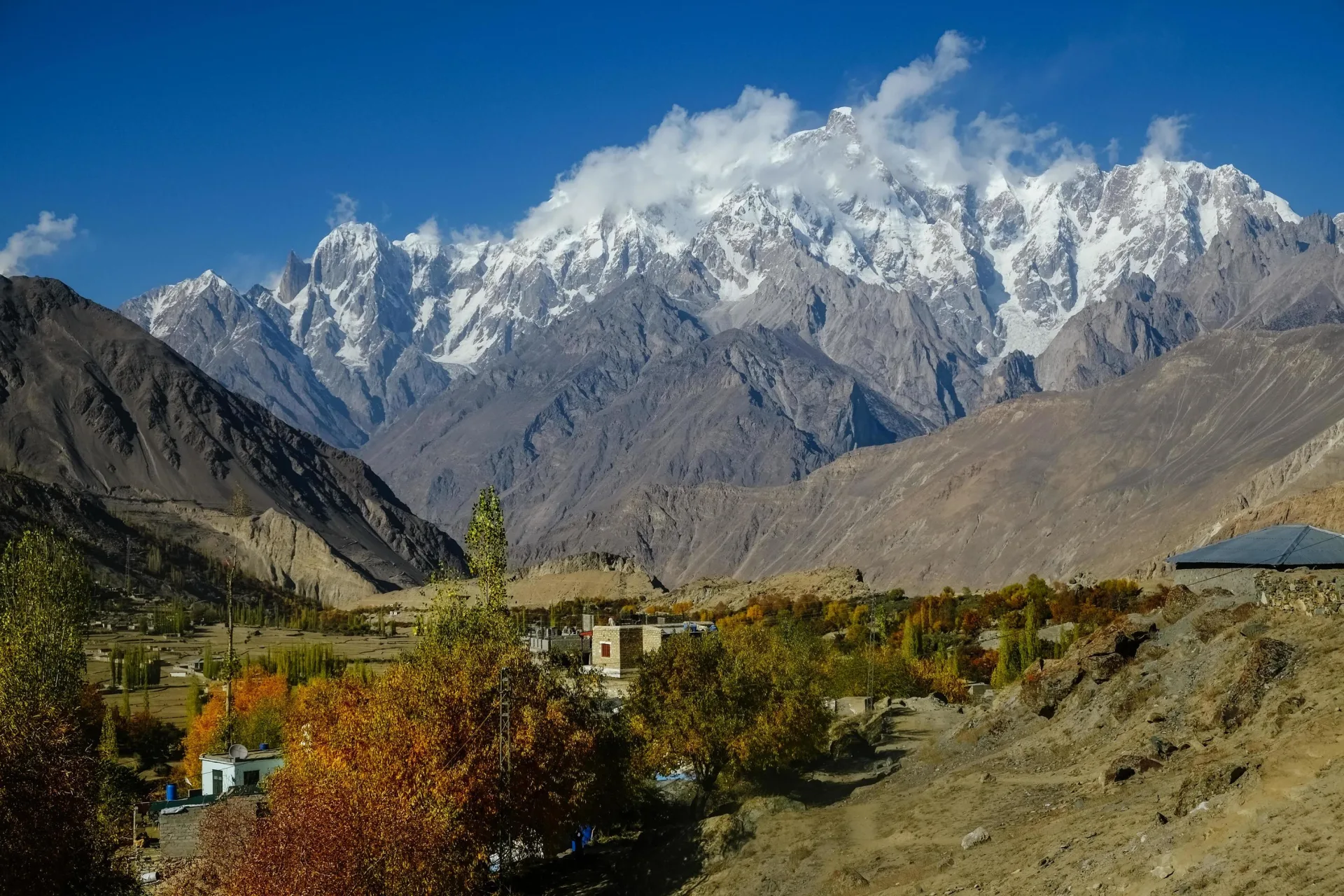
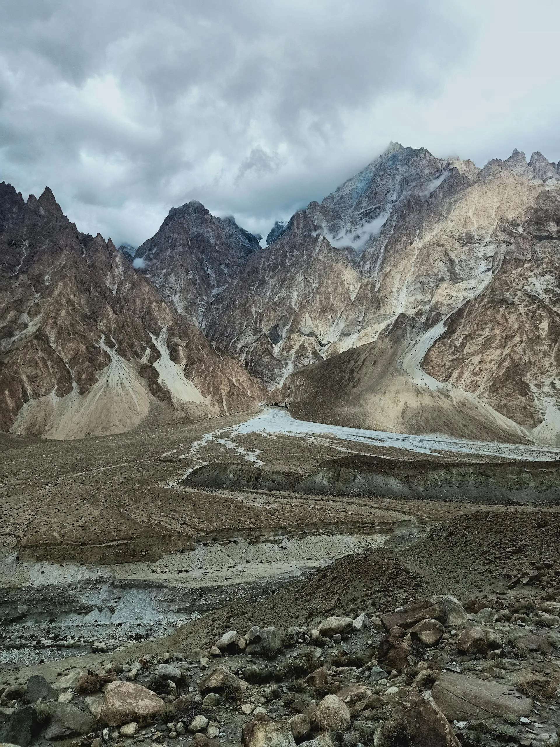
Panorama of the Karakoram mountains along the high road north

The passes are where a Pakistan mountain trip turns from scenery into event. The roads climb out of the valleys onto bare, wind-scoured saddles where the air thins, the snow lingers into summer and the view runs to the horizon in every direction. Three of them carry the famous names: Khunjerab on the Chinese border, Babusar above the Kaghan valley, and Shandur, the polo pass between Gilgit and Chitral.

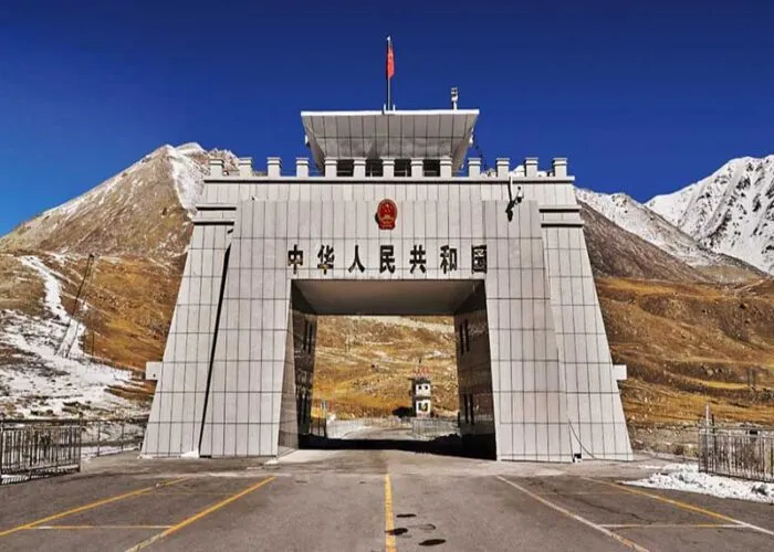
Khunjerab is the high point in every sense, 4,693 m of paved highway and the highest border crossing on earth that you can drive to. Babusar Top, at 4,173 m, is the back door into Gilgit-Baltistan from the Kaghan side, a green and gentler approach. Shandur, at 3,700 m, is the wild one: a long gravel haul past Phander Lake to a grass plateau that hosts a polo tournament each summer.

All three are seasonal, gated by snow for much of the year, and the dates shift with the weather. That timing is the thing most trip-planners get wrong, so we have laid it out plainly below, along with the tours that cross each pass by jeep or by motorcycle.

Tours Across the High Passes
Khunjerab Pass ExplorerModerate
5-7 days

Khunjerab Pass Explorer

Climb the Karakoram Highway to Khunjerab at 4,693 m, the highest paved border crossing on earth, where Pakistan meets China among the marmots and ibex.

Babusar Pass and the Kaghan ValleyModerate
4-6 days

Babusar Pass and the Kaghan Valley

Cross Babusar Top at 4,173 m into the Kaghan valley, with Naran, Lake Saiful Muluk and a wall of Himalayan green on the far side.

Shandur Pass Road TripModerate
5-7 days

Shandur Pass Road Trip

Drive the long gravel road over Shandur at 3,700 m, the polo pass between Gilgit and Chitral, past Phander Lake and the Ghizer valley.

Hunza to KhunjerabEasy
7-9 days

Hunza to Khunjerab

A Hunza tour that builds to the Khunjerab climax: forts and orchards below, the Chinese border and the national park above.

Karakoram Highway Complete: Islamabad to KhunjerabEasy
9-11 days

Karakoram Highway Complete: Islamabad to Khunjerab
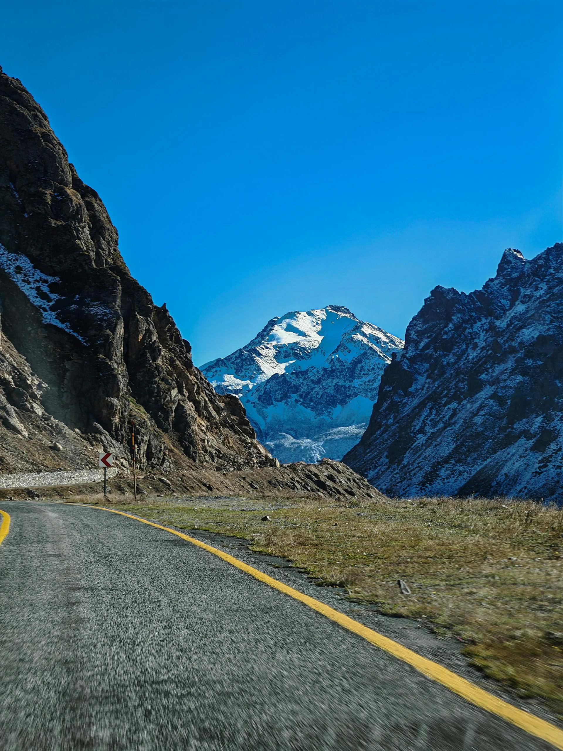
The whole Karakoram Highway from Islamabad to Khunjerab, the road they called the Eighth Wonder, past Nanga Parbat and Rakaposhi.

Shandur Pass Motorcycle AdventureModerate
6-8 days

Shandur Pass Motorcycle Adventure

Ride the Shandur gravel by motorcycle, fording streams and crossing the world's highest polo ground on two wheels.

The Three Great Road Passes

Khunjerab Pass, 4,693 m, carries the Karakoram Highway across the Pakistan-China border inside Khunjerab National Park, home to Marco Polo sheep, ibex and golden marmots. You can stand at the gate but not cross without a Chinese visa and onward transport. Babusar Pass, 4,173 m, links the Kaghan valley to Chilas on the KKH and makes a scenic alternative approach to the north when it is open.

Shandur Pass, 3,700 m, is the odd one out: not on the KKH at all, but a remote gravel crossing between Gilgit and Chitral, famous for the freestyle polo played on its summit plateau each summer. For trekkers, the Karakoram also holds far higher crossings such as the Gondogoro La at 5,585 m, a mountaineering pass rather than a road.
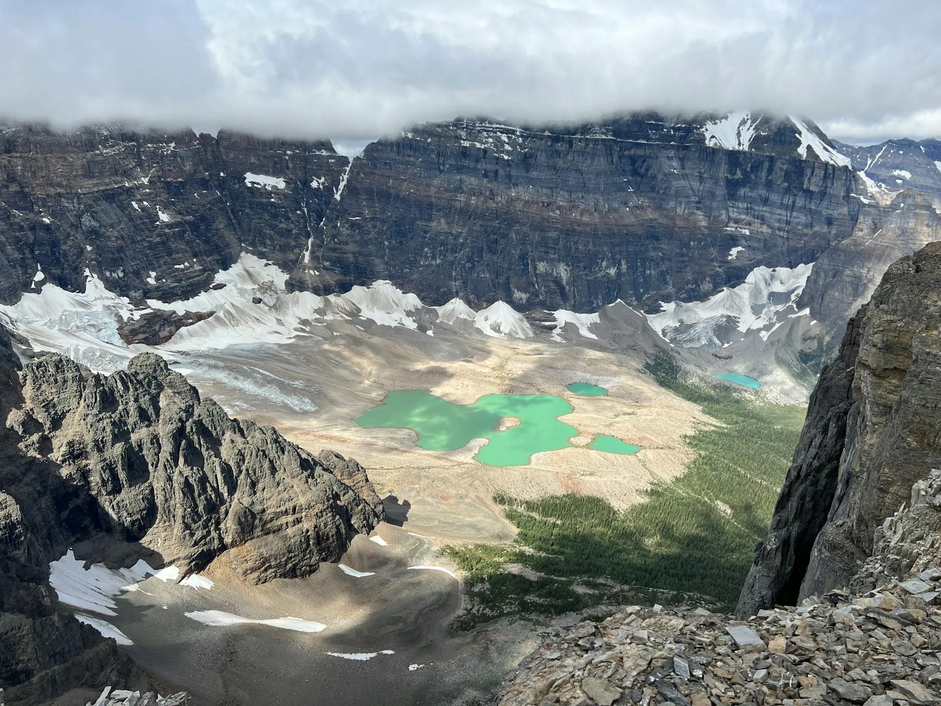
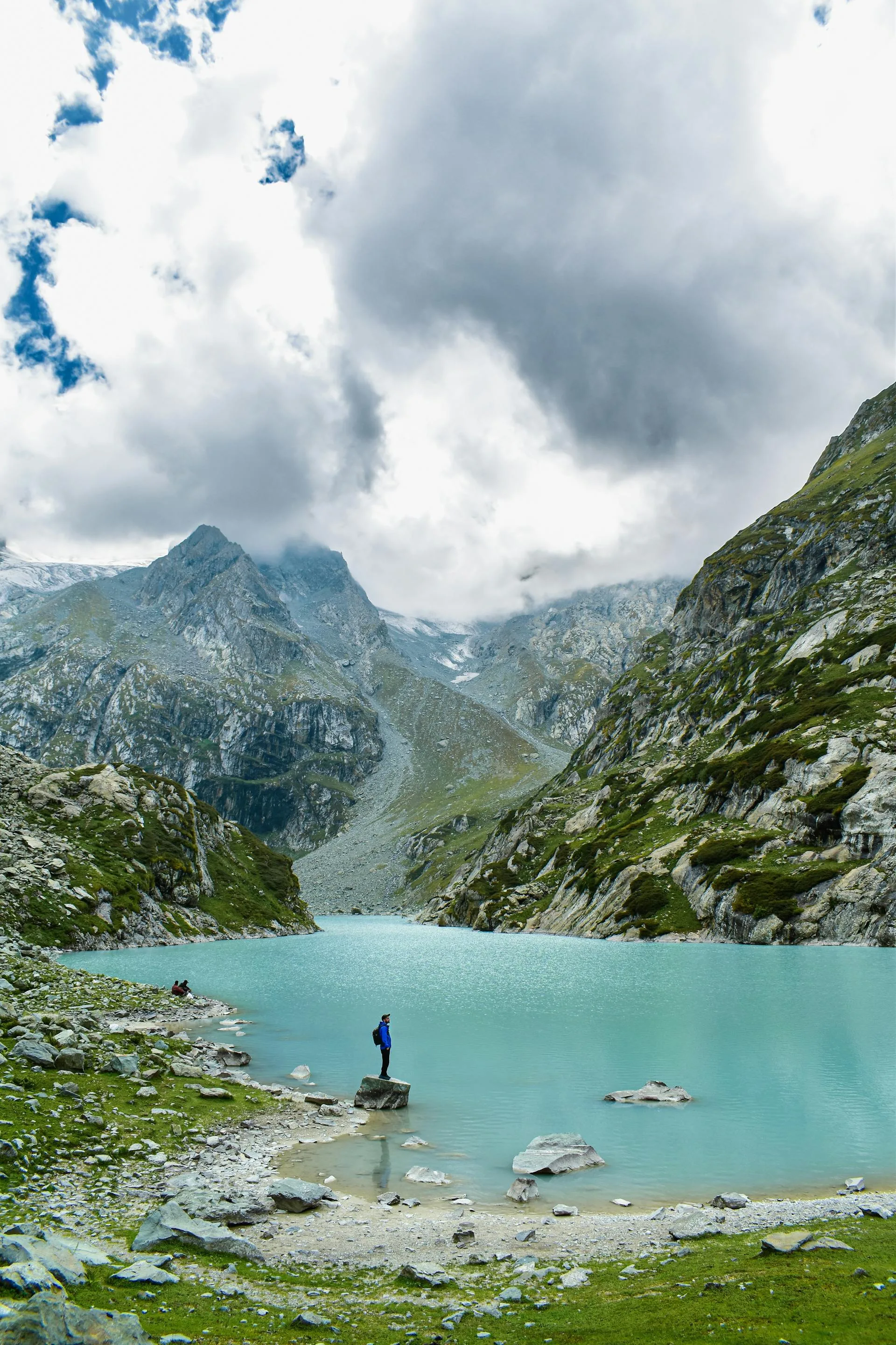
Aerial view of a turquoise alpine lake near Babusar Pass
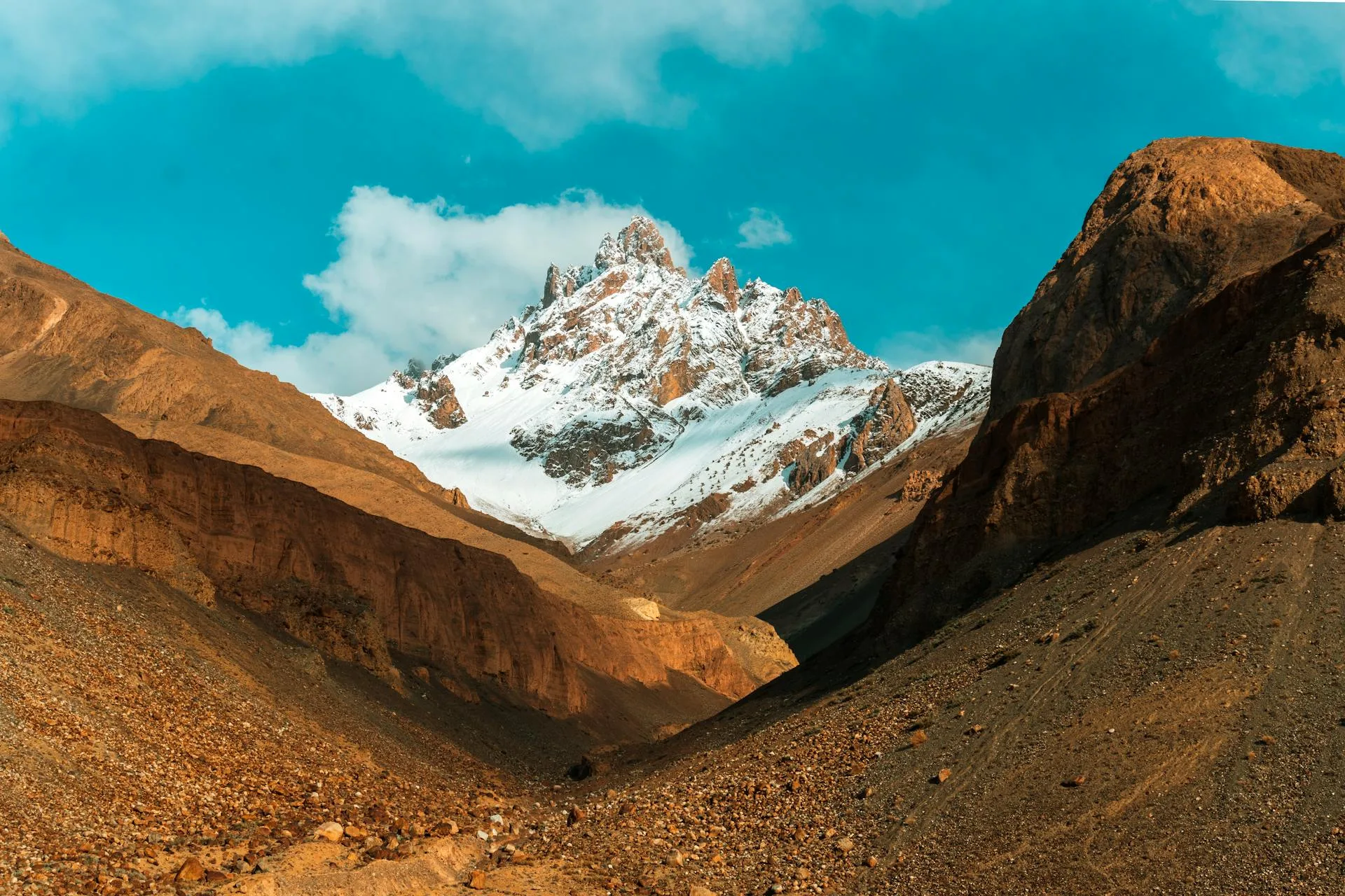
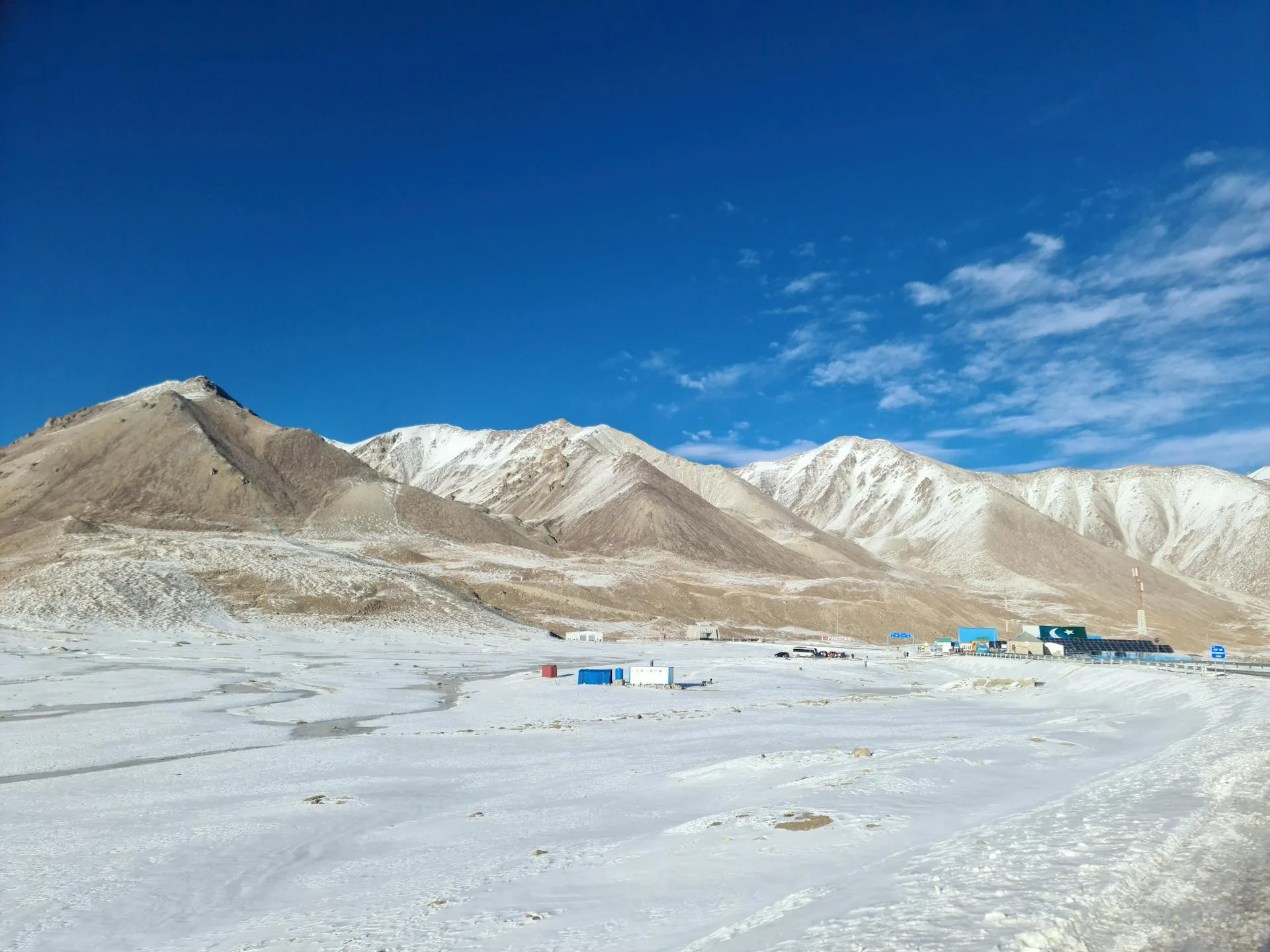
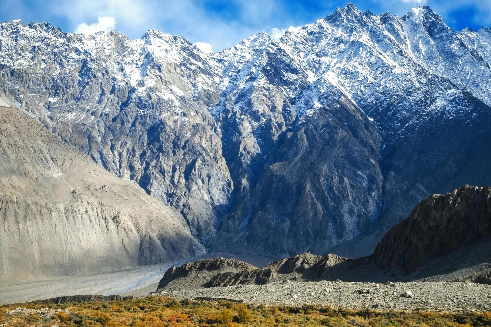
Snow-covered Karakoram peaks and pass in the cold season

When the Passes Open

Khunjerab is realistically open to tourists from about May to October, snow depending; the border itself keeps a separate trade calendar, so do not plan around the official China-side dates. Babusar usually clears by mid-June, sometimes in late May, and closes by late October or the first heavy snow. Shandur runs roughly May to October, with the polo festival pinning the busiest week to festival week, held in June in recent years.

None of these dates is a promise. An early or late snowfall moves them, and the high roads can close for a day at any time in shoulder season. We plan every pass tour with a fallback, and for the December and winter months we route around the passes entirely.

Jeep or Motorcycle, and Which Pass

If you want one pass done comfortably, Khunjerab from a Hunza base is the iconic choice and the easiest day. For a road trip that strings several together, the full Karakoram Highway run takes in Babusar and Khunjerab both. Riders after the rawest of the three should look at Shandur, where the gravel, the stream fords and the remoteness make the journey the point. Our motorcycle tours cross the same passes on two wheels with a support vehicle and a lead-and-sweep team.

Frequently Asked Questions

What is the highest mountain pass in Pakistan?

By road, the highest is Khunjerab Pass at 4,693 m (15,397 ft), which is also the highest paved international border crossing in the world. It carries the Karakoram Highway across the Pakistan-China border inside Khunjerab National Park. You may also see 4,714 m quoted; that is the road's maximum elevation near the marker, not the border itself. Of the other two famous road passes, Babusar Top reaches 4,173 m and Shandur about 3,700 m. Higher crossings exist for trekkers, such as the Gondogoro La at 5,585 m in the Karakoram, but those are mountaineering passes, not roads, and they need a full trek with glacier travel, permits and a support crew. For most visitors Khunjerab is the one to aim for, because you can drive to the top. We reach it as a long day from a Hunza base, after a few nights acclimatising lower in the valley, and keep the stay at the summit short.

Is the Khunjerab Pass open?

For tourists, roughly May to October depending on snow. Snowfall controls the top of the road, so the exact opening and closing dates move from year to year, and the pass is effectively shut to tourists from about late December until April. You will see April to November quoted online, but that comes from the official China-side trade calendar, which is not a reliable guide to whether you can actually drive up to the marker. The pass and Khunjerab National Park are reached as a long day trip from Hunza, through Sost, the last Pakistani town, about 75 km and two hours below the top. Even in July and August it is cold up there, usually 5 to 15°C by day with a hard wind, so bring warm layers. Early and late departures carry the most weather risk, so we keep the pass day flexible and put it on the clearest morning we get.

When is the Babusar Pass open?

Usually from about mid-June, sometimes late May, until late October, when the first heavy snow closes it. Snow then shuts the pass for roughly six months, so there is no winter crossing, and even in early summer snow banks can sit beside the road near the top into July. The exact dates shift with the weather each year, and in the shoulder season the road can close for a day after a storm. Outside that window the route into Gilgit-Baltistan switches to the lower Karakoram Highway via Besham and Chilas. Babusar Top sits at 4,173 m on the road from the Kaghan valley down to Chilas on the KKH, so when it is clear it makes a scenic alternative approach to the north, past Naran and Lulusar Lake. We plan every Babusar departure with a fallback, and we cross early in the morning, before cloud and wind build at the top in the afternoon.

Can you drive to China over the Khunjerab Pass?

You can drive to the border gate and stand at the line, but you cannot cross into China without a Chinese visa and pre-arranged onward transport. There is no visa on arrival at Khunjerab. The gate at 4,693 m is the formal border between Pakistan and Xinjiang, and immigration is handled down at Sost, the last Pakistani town, rather than at the pass itself. Most travellers go up for the pass, the park and the photographs, then return. That is how our Khunjerab tours run: a there-and-back day from the upper Hunza valley, with time at the China gate, a look at the world's highest ATM and some wildlife spotting in Khunjerab National Park, where golden marmots and ibex are the realistic sightings. We then drop to a lower night in Sost or Passu. If you do want to continue into China, the onward leg to Tashkurgan and Kashgar is normally done as part of an organised tour.

How high is the Shandur Pass?

Shandur tops out at about 3,700 m and is billed as the world's highest polo ground; the highest point on our route reaches 3,734 m. Unlike the sharp rock passes of the Karakoram, it is a broad grassy plateau with the shallow Shandur Lake and the polo ground laid out on top, linking the Ghizer district of Gilgit-Baltistan with Chitral. The crossing between Gilgit and Chitral is long, gravel and remote, and best treated as an adventure drive rather than a quick hop. From Gilgit it is about 165 km and 6 to 7 hours to Phander Lake at around 3,000 m, then roughly 45 to 50 km more to the top. We spend a night at Phander before climbing, which spreads out the height gain. Nights on the plateau fall close to freezing even in midsummer, so pack warm layers. Each summer, in June in recent years, the plateau hosts its freestyle polo tournament.

Which pass is the hardest to cross?

Shandur, by some way, because of the rough gravel, the stream crossings and the distance from fuel and help. It is not on the Karakoram Highway at all. The road is reasonable as far as Gupis on the Gilgit side, then breaks into rough patches that stay with you over the pass and down towards Mastuj, and river crossings and washouts can slow a day. We run it only in a 4x4 with a local driver and build slack into the schedule. Khunjerab is paved and easy by comparison, since the challenge there is altitude, a fast climb to 4,693 m and back in a day, rather than the road surface. Babusar sits in between, with a road that starts paved and turns rough, and a jeep section near the top at 4,173 m. For riders, Shandur is the pass where the journey is the point, and our motorcycle tour crosses it with a support vehicle and a lead-and-sweep team.

Do I need a permit to cross the passes?

No NOC is required for Khunjerab, Babusar or Shandur on a tourist visa. These are road crossings, and there is no separate trekking permit for a road itinerary over any of them. What you do need is your passport to hand, because you register it at checkpoints along the way, and on the Khunjerab day you pay the Khunjerab National Park fee at its gate above Sost. All of that is handled within the tour, and on the Babusar trip we also cover the Lulusar National Park fees. The one thing a Pakistani visa does not cover is going on into China at the Khunjerab border, which needs a Chinese visa and onward transport arranged in advance. Trekking passes such as the Gondogoro La are different: they run through restricted border country and need park fees, a trekking permit and a registered guide and crew, which we arrange as part of those trips.

Are the passes safe to travel?

Yes, with sensible planning. The risks are weather, altitude and mountain roads rather than security. Snow can close any of the three passes for a day in the shoulder season, and the opening dates move every year, so we watch the forecasts and carry a fallback for every pass. Altitude matters most on Khunjerab, where you drive to 4,693 m in a single day. We stage the climb with nights lower in the Hunza valley, push fluids and keep altitude days short so you are not sleeping high after a fast climb. Babusar is crossed early in the morning, before cloud and wind build on the top. On Shandur the hazards are gravel, river crossings and washouts, which is why we use a 4x4 with a local driver and leave slack in the schedule. On any high day, tell your guide straight away if you get a headache, breathlessness or nausea.

Ready for Your Next Adventure?

Join our community of explorers and discover the journey of a lifetime. Our expert team is ready to help you plan your perfect expedition.