Patundas Meadows Hunza
Trek from Borith Lake across Passu Glacier to the hidden alpine meadows of Gojal, Upper Hunza
Elevation
~4,200m
Difficulty
Moderate
Duration
2 Days
Best Season
Jun–Sep
Patundas Trek: a complete guide to Patundas Meadows
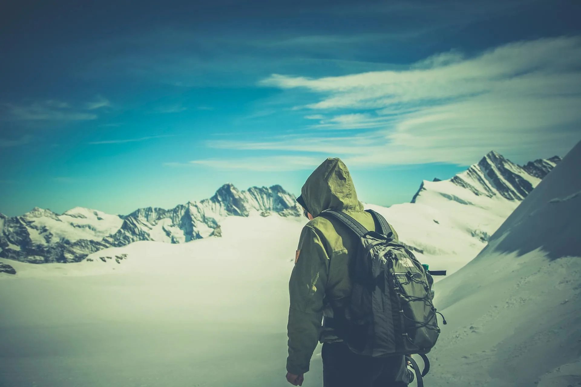
Most people visiting the Hunza Valley never hear about Patundas Meadows. This alpine plateau in Gojal (Upper Hunza), Gilgit-Baltistan, sits at roughly 4,200 metres and gives you a full 360-degree view of eighteen Karakoram peaks, from the jagged spires of Tupopdan (Passu Cones, 6,106m) to the ice wall of Shisper (7,611m). The Patundas Trek takes 2 days from Borith Lake and includes crossing the Passu Glacier on foot. If you're looking for Hunza trekking that goes beyond the usual tourist trail, this is it.
Where are Patundas Meadows?
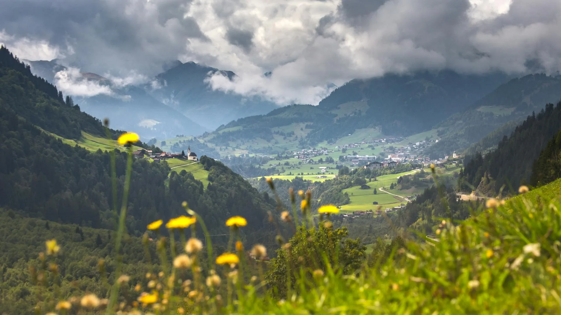
Patundas Hunza (also spelled Patondas or Putundas) is in Gojal, the upper subdivision of Hunza District in Gilgit-Baltistan. The meadows sit between the Passu Glacier to the south and the Batura Glacier to the north. Many trekking guides incorrectly place Patundas in the Nagar Valley. It isn't. The Nagar Valley is south of Karimabad, on the opposite side of the Hunza River. The trailhead is at Borith Lake near Passu village on the Karakoram Highway (KKH), about 3 to 4 hours north of Gilgit.
Starting point: Borith Lake
The trek begins at Borith Lake, a glacial lake at roughly 2,600 metres between Gulmit and Passu. It's quieter than Attabad Lake, and on a still morning the Passu Cones reflect perfectly in the water. Migratory ducks and geese stop here in spring and autumn. There are basic camping spots and a few guest houses near the lake. Spending a night here before the trek helps with acclimatization. The water is a milky turquoise-green, the kind of colour you don't quite believe until you're standing next to it.
The trek route
The full trek covers 24 to 30 kilometres round trip with about 1,600 metres of elevation gain. It is rated moderate. No technical climbing, but the glacier crossing and the sustained uphill on day two require decent fitness. You need a local guide.
Day 1: Borith Lake to Luzdhar via Passu Glacier
From Borith Lake, the trail climbs a dry, hot ridge to Passugar, a shepherd's pasture at about 3,200 metres (3 to 4 hours). There's no shade, so carry water and start early. At Passugar, old shepherd huts offer shelter for a rest before the glacier crossing.
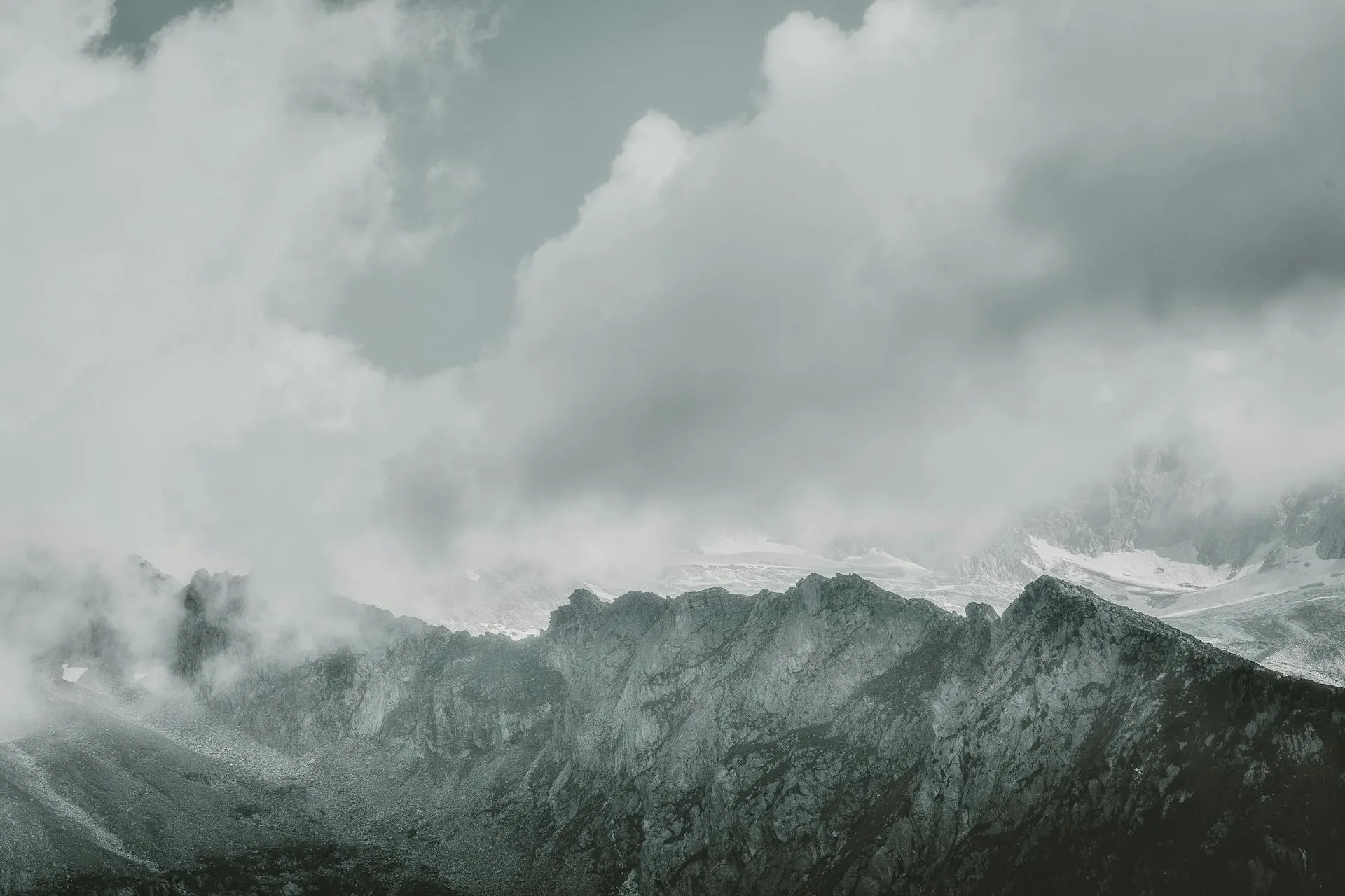
The Passu Glacier crossing is the hardest and most interesting part of the trek. The surface is crevasses, ice pillars, meltwater channels, and loose boulders. You'll be roped to your guide for the dangerous sections at the start and end. The middle section is rougher but more stable, mostly walking over rocks and compacted ice. The route changes constantly, sometimes within a single day, so you cannot do this without a guide. Some guides carry ladders in case a crevasse has widened. The crossing takes 3 to 4 hours.
Once across, you camp at Luzdhar, a grassy pasture at about 3,400 metres. On a clear evening, Tupopdan and Shisper light up orange and pink as the sun goes down.
Day 2: Luzdhar to Patundas Meadows and back
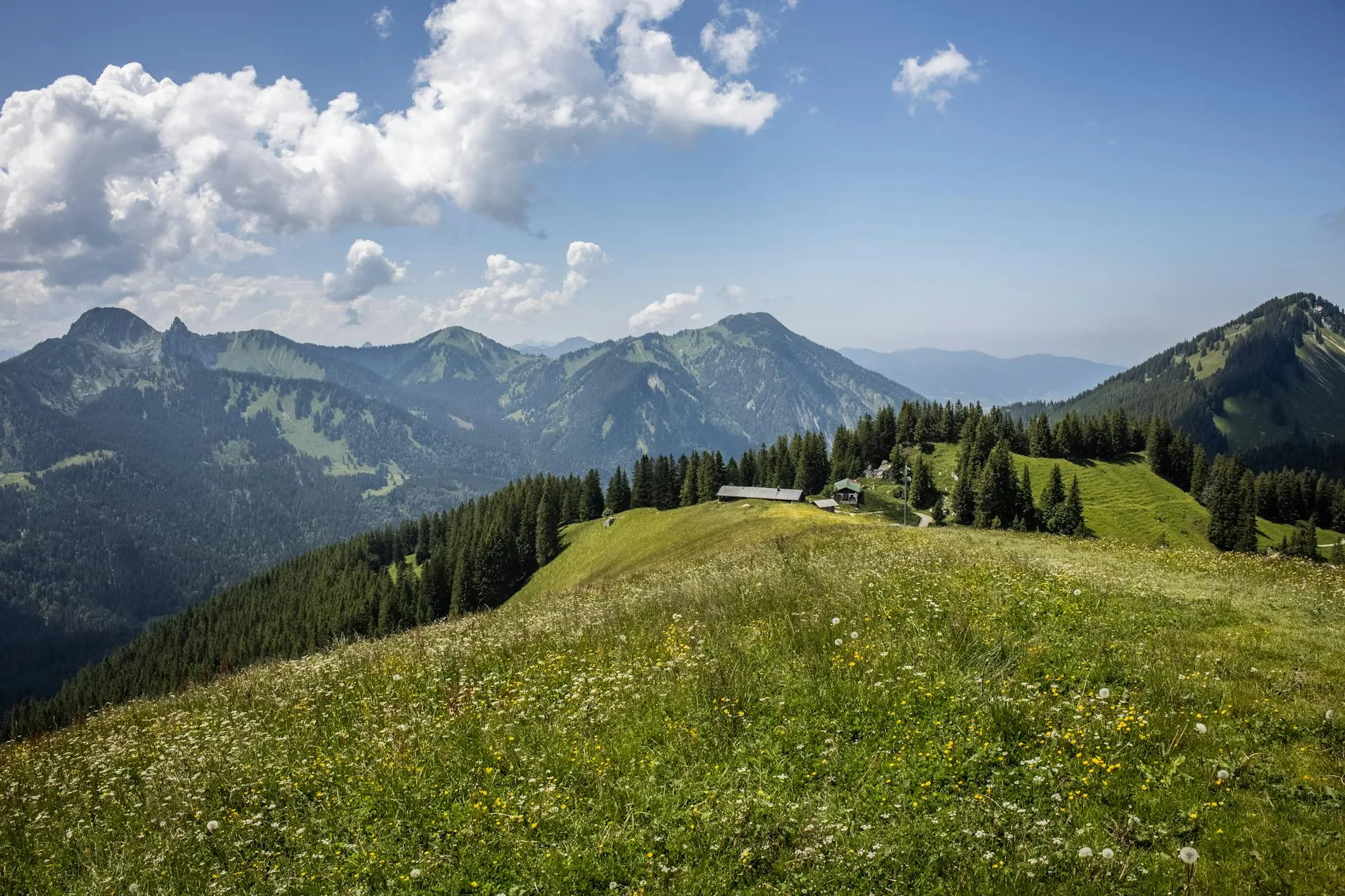
Day two starts early with a steep 800-metre climb to the Patundas plateau (3 to 4 hours). The ground shifts from loose rock to grass as you gain altitude. When you reach Patundas Top, the meadow spreads out wide and rolling, covered in wildflowers in summer. From the edges you can count eighteen peaks over 6,000 metres. Most groups spend 2 to 3 hours at the top before heading back the same way to Borith Lake by evening.
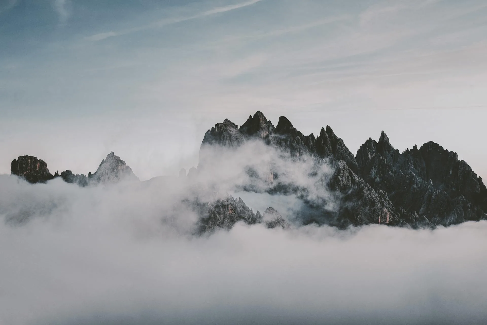
The view from Patundas Top: 18 Karakoram peaks
From the Patundas ridge (highest point around 4,575m), you're surrounded by peaks on every side:
- Tupopdan / Passu Cones (6,106m). The Wakhi name means "sun-drenched mountain" because snow melts fast off the steep south face. From Patundas they're at eye level.
- Shisper (7,611m). Its surging glacier made international news between 2018 and 2019 when it blocked a river and formed a temporary lake.
- Passu Sar (7,478m), usually half-hidden in cloud, directly above the glacier you just crossed.
- Batura Peak / Dastghil Sar (7,885m), visible to the north beyond the 56-kilometre Batura Glacier.
- Momhil Sar (7,343m), a sharp pyramid that catches the first light of morning.
- Rakaposhi (7,788m), the "Mother of Mist," visible far to the south. It rises over 6,000 metres from the Hunza River to its summit.
- Ultar Sar (7,388m), above Karimabad, visible on clear days to the southeast.
Best time to go
June through September. July and August are most reliable for weather. In late June and early July, the meadow fills with edelweiss, primulas, buttercups, and gentians. The glacier crossing is also safest in mid-summer when guides have had weeks to maintain the route. Late September is possible but weather gets less predictable. Afternoon clouds often block the peaks, so get up early for clear views. Night temperatures at Luzdhar drop to near freezing even in July.
Flora and fauna
The trek crosses several ecological zones, from arid valley floor around Borith Lake to green pastures at Passugar and Luzdhar, to wildflower-filled alpine meadow at the top. The Khunjerab area near Passu has one of the highest known densities of snow leopard in the Karakoram belt. You won't see one (they avoid people), but camera traps have documented them throughout the region. Himalayan ibex and blue sheep (bharal) are common on the slopes above the glacier valleys. Golden eagles and Himalayan griffon vultures circle overhead. At Borith Lake, migratory ducks and geese pass through on the Central Asian flyway.
What else to see nearby
- Passu Suspension Bridge, a swaying rope bridge over the Hunza River. Five minutes from the KKH at Passu village.
- Hussaini Suspension Bridge, 6 km from Borith Lake. Wooden planks, rope handrails, glacial water rushing below. Still used by locals daily.
- Attabad Lake, formed in 2010 when a landslide dammed the Hunza River. Turquoise water stretching 20 km through canyon walls. Boat tours and jet skiing available.
- Passu Cones (Tupopdan) viewpoint. Best seen from Borith Lake at dawn, reflected in the still water.
- Gulmit Heritage Museum. Wakhi artifacts, old tools, instruments, and photographs. Worth an hour.
- Khunjerab National Park. 227,143 hectares extending to the Chinese border. Snow leopards, Marco Polo sheep, and ibex.
What to pack
There is nothing along the trail. No shops, no tea houses, no lodges. You carry what you need or book a supported trek.
- Waterproof trekking boots, broken in. The glacier crossing is wet and uneven.
- Warm layers: base layer, fleece or down mid-layer, waterproof shell. You'll wear all of them at camp.
- Sleeping bag rated to -5C and a sleeping mat.
- Sunscreen (SPF 50+), good sunglasses, hat. UV at 4,200m burns fast.
- 2 to 3 litres water capacity. Glacial streams need filtering.
- Trail food: energy bars, dried fruit, nuts.
- Camera and spare batteries. Keep batteries warm in your pocket.
Go With Guide Pakistan runs fully supported Patundas Meadows treks with local guides from Gojal, camping gear, all meals, glacier ropes, and transport from Gilgit or Karimabad. Our guides have been crossing the Passu Glacier for years.
Trek Itinerary
Day 1
Borith Lake to Passugar, Passu Glacier Crossing, and Luzdhar Camp
Borith Lake to Passugar, Passu Glacier Crossing, and Luzdhar Camp
Start at Borith Lake (~2,600m). Climb a dry ridge to Passugar shepherd pasture (~3,200m, 3 to 4 hours). Rest and eat, then rope up and cross the Passu Glacier with your guide, picking through crevasses, ice pillars, and boulder fields (3 to 4 hours). Make camp at Luzdhar (~3,400m). On a clear evening, Tupopdan and Shisper light up in front of you.
Day 2
Luzdhar to Patundas Meadows and Return to Borith Lake
Luzdhar to Patundas Meadows and Return to Borith Lake
Early start. Steep climb from Luzdhar to the Patundas Meadows plateau (~4,200m, 3 to 4 hours). From the top, you can see 18 Karakoram peaks: Tupopdan, Shisper, Passu Sar, Batura, Momhil Sar, and more. Walk the meadow, take photos, eat lunch on the ridge. Then descend the same route: back through Luzdhar, re-cross the glacier, through Passugar, and down to Borith Lake by evening.
What's Included
Not Included
Frequently Asked Questions About the Patundas Meadows Trek
Do I need a guide for the Patundas Meadows trek?
Do I need a guide for the Patundas Meadows trek?
Yes. The Passu Glacier crossing route shifts constantly, sometimes within a single day, as the ice melts and reforms. Without a Gojal-based guide who checks ice conditions before each trip, the crossing is too dangerous to attempt. Our guides carry ropes and glacier safety gear.
How difficult is the Passu Glacier crossing?
How difficult is the Passu Glacier crossing?
It's the hardest part of the trek, but you don't need mountaineering experience. Your guide will rope you up for the crevasse sections at the start and end of the crossing. In the middle, you're walking over boulders and compacted ice. Any reasonably fit trekker can handle it with a good guide.
Can I do this trek in one day?
Can I do this trek in one day?
Technically yes, but we don't recommend it. The 1,600m elevation gain plus a glacier crossing plus the distance back makes for an exhausting day, and you'd barely have time at the meadow before needing to turn around. Two days lets you actually enjoy the place and get back safely before dark.
Is there mobile network coverage on the trek?
Is there mobile network coverage on the trek?
You may get intermittent signal near Borith Lake and Passugar, but once you cross the Passu Glacier and climb to Patundas Meadows, there is no mobile coverage. Carry a fully charged power bank and inform someone of your itinerary before departing.
Ready for Your Next Adventure?
Join our community of explorers and discover the journey of a lifetime. Our expert team is ready to help you plan your perfect expedition.