Nanga Parbat: The Killer Mountain
The world's largest mountain face
Last updated: · Reviewed by Javeed Iqbal, Founder
Elevation
8,126m
Difficulty
Extreme
Duration
45 to 55 Days
Best Season
Jun to Aug
Nanga Parbat Expedition: a complete guide to climbing the Killer Mountain
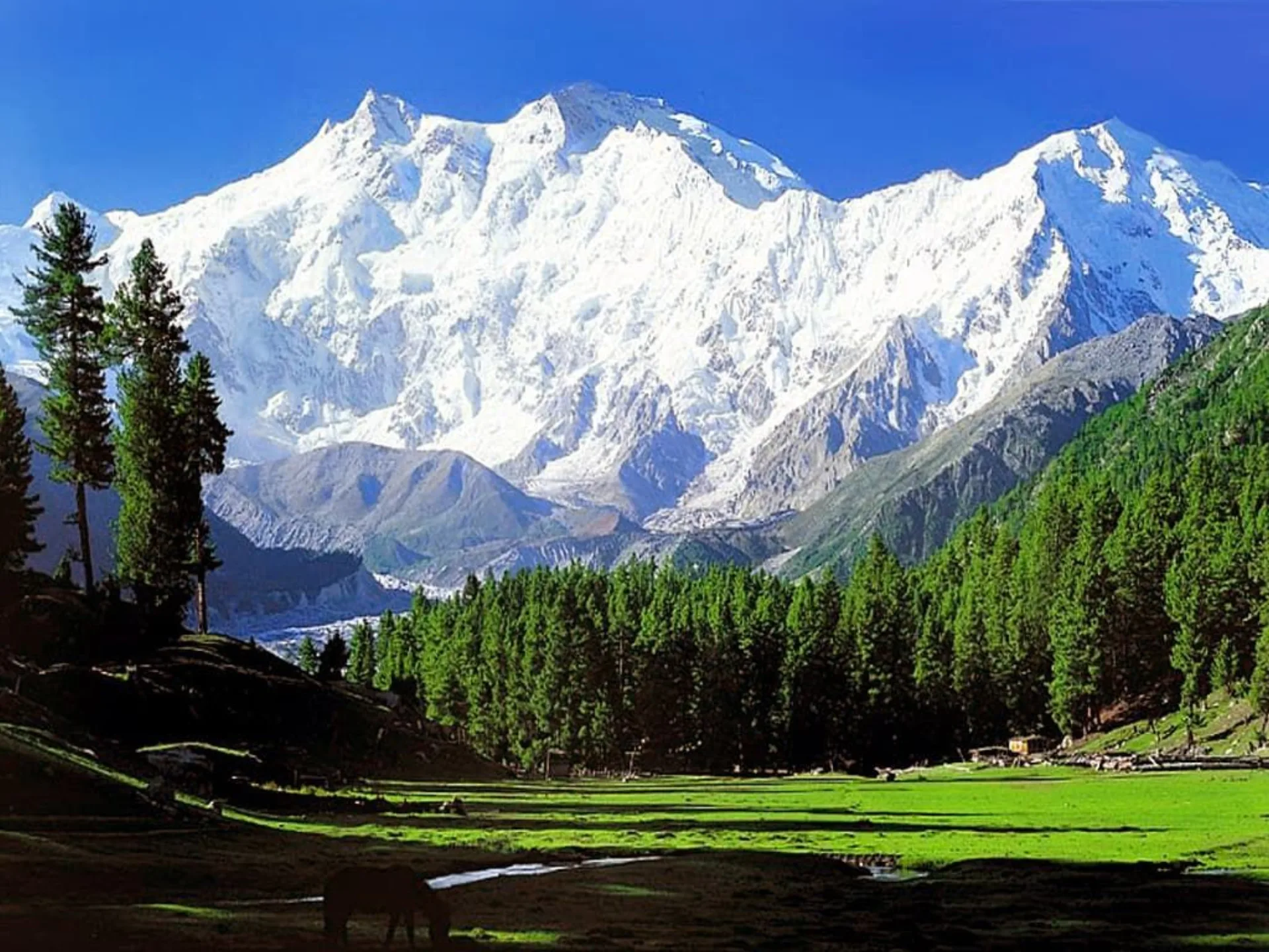
Nanga Parbat is the ninth-highest mountain on Earth at 8,126 metres and the western anchor of the Himalaya, standing in isolation above the Indus Valley in Gilgit-Baltistan, Pakistan. Its Sanskrit name means "Naked Mountain", a reference to the vast exposed flanks that dominate the landscape for miles around. Climbers know it by a darker name: the Killer Mountain. Before its first ascent in 1953, thirty-one people had died trying to climb it, the grimmest record of any eight-thousander at the time. More than seventy years later it is still graded extreme from every side, and there is no easy way to the top.
Where is Nanga Parbat?
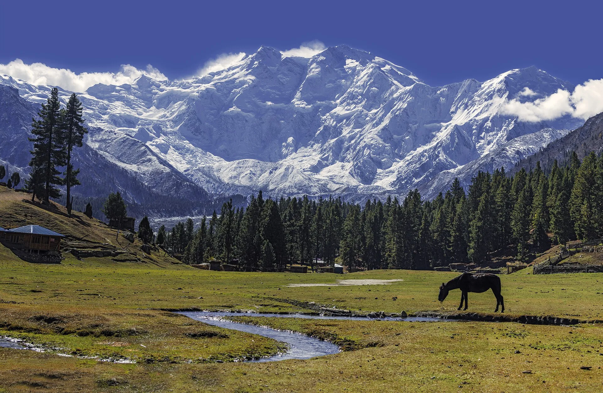
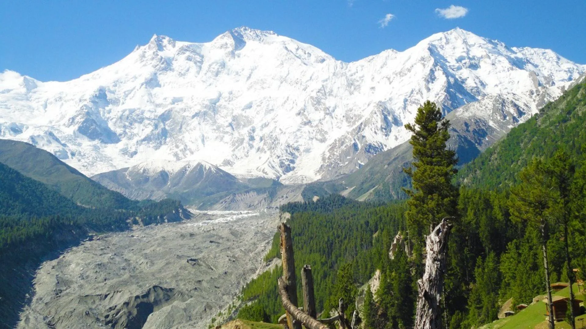
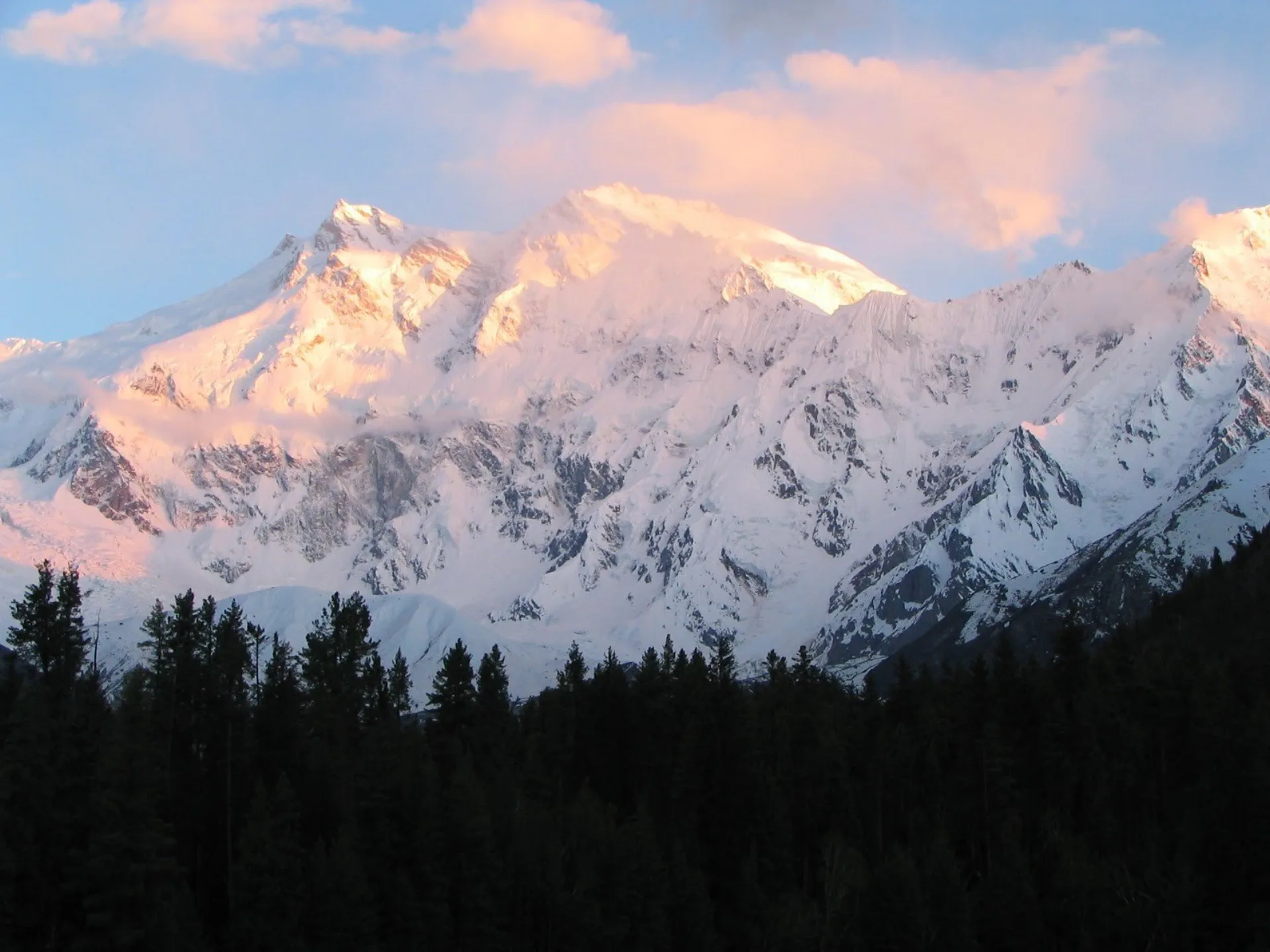
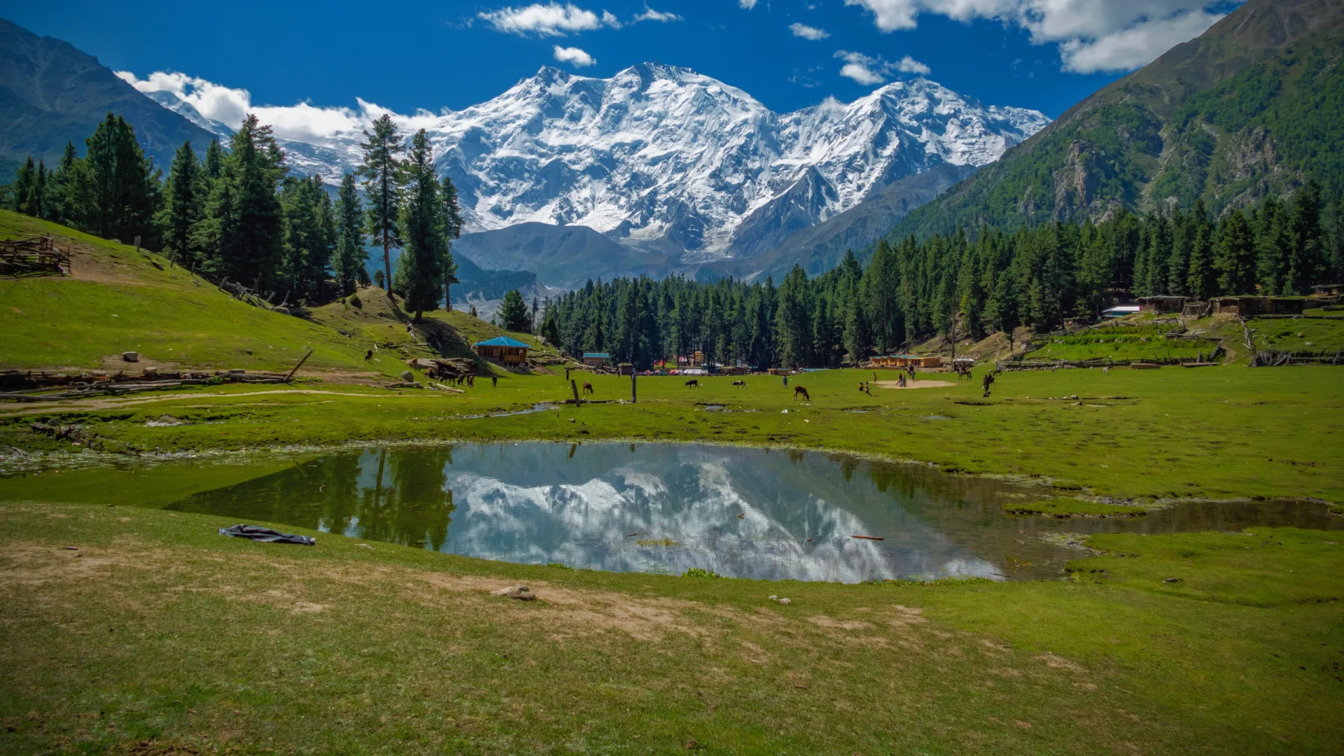
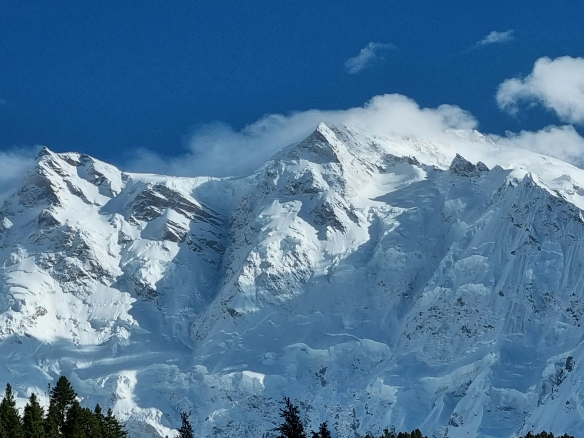
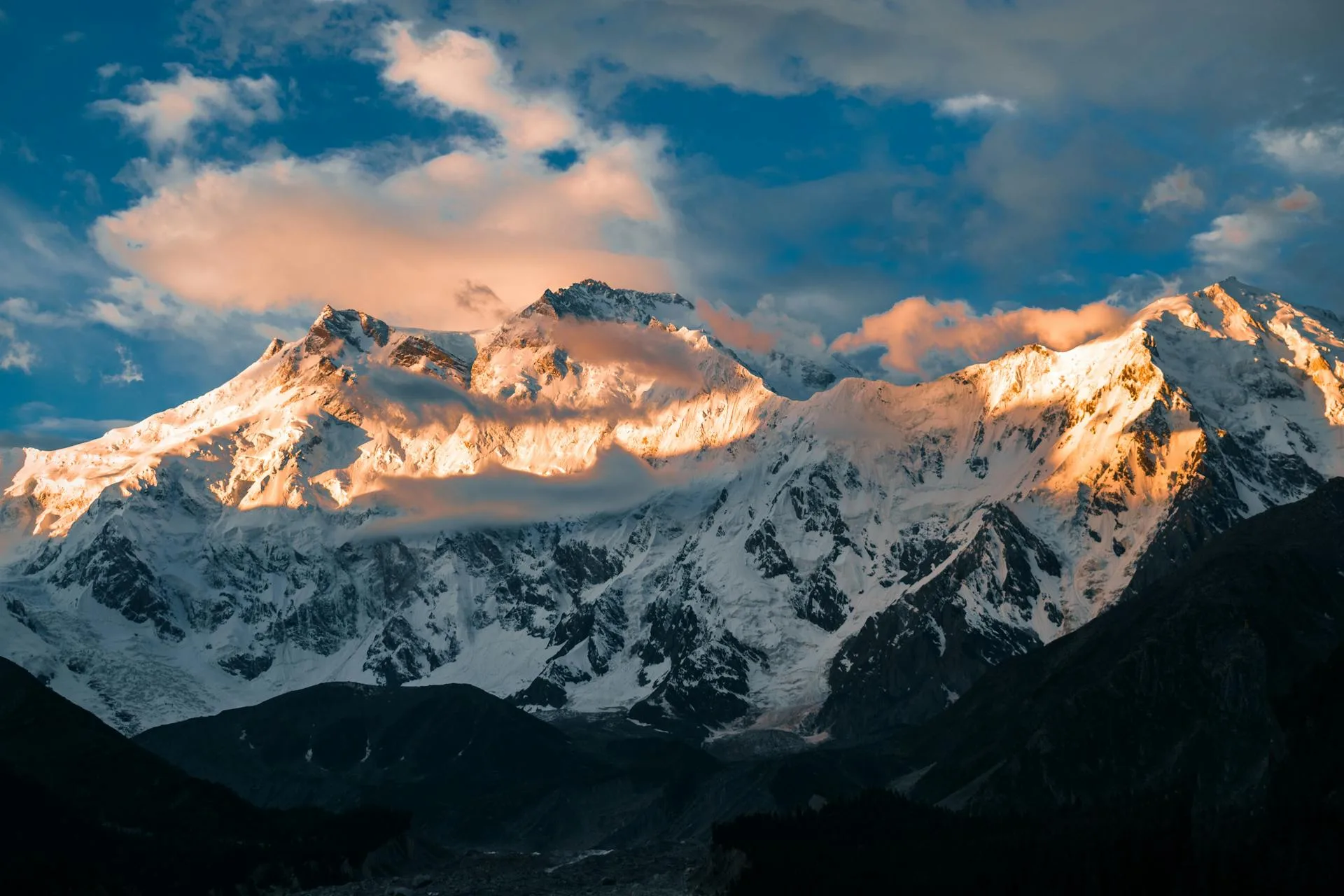
Unlike Pakistan's other four eight-thousanders, which all sit in the Karakoram, Nanga Parbat belongs to the western Himalaya. It rises alone above a bend in the Indus near the towns of Chilas and Gilgit, with one of the greatest vertical reliefs of any mountain on the planet: the summit stands some 7,000 metres above the river below. The peak presents three enormous faces, each with its own base camp, approach, and character: the Rakhiot Face to the north, the Diamir Face to the west, and the Rupal Face to the south. The popular Fairy Meadows trek sits beneath the Rakhiot side and gives the classic postcard view that draws trekkers who will never set foot on the mountain itself.
The Diamir Face and the Kinshofer route
The Kinshofer route on the Diamir (west) face is the standard line today and the choice of almost every commercial expedition. It was opened on the 1962 second ascent by Toni Kinshofer, Siegfried Löw and Anderl Mannhardt, and it climbs steep ice and rock chimneys through the crux Kinshofer Wall before working up snow slopes and a series of camps to the summit. The route is technical in its lower section and exposed to rockfall, especially as the day warms, so teams move early and fast through the wall. Most climbers establish three to four camps above base camp before a summit push.
The Rupal and Rakhiot faces
The Rupal Face to the south is the largest mountain face on Earth, around 4,600 metres of near-vertical rock and ice. It was first climbed in 1970 by the brothers Günther and Reinhold Messner, in an ascent that became legend and tragedy when Günther died during the descent of the Diamir side. The Rupal remains an elite objective, far beyond the standard commercial climb. The Rakhiot Face to the north was Hermann Buhl's 1953 first-ascent line; it is dangerously avalanche-prone and is essentially abandoned today, though Fairy Meadows still draws trekkers to its foot.
How hard and how dangerous is it?
Nanga Parbat is graded extreme, ED+ in alpine terms, with no soft option from any direction. Avalanche terrain, persistent rockfall on the Kinshofer Wall, and weather systems that can shut summit windows for weeks all stack the odds against climbers. The Killer Mountain name was earned in the 1930s and 1940s, when German expeditions suffered repeated disasters, including a 1937 avalanche that killed sixteen members in a single night. The summit was reached only after years of attempts and many lives. The first winter ascent came as recently as 2016, by Simone Moro, Alex Txikon and Pakistan's own Ali Sadpara, underlining just how serious the mountain remains.
The first ascent: Hermann Buhl, 1953
On 3 July 1953, the Austrian Hermann Buhl left his high camp and climbed the final stretch to the summit alone, without supplemental oxygen, in a seventeen-hour push. Caught out by darkness on the way down, he survived a night standing upright on a narrow ledge near 8,000 metres, then completed the descent the next day, frostbitten and exhausted. He remains the only person ever to have made the first ascent of an eight-thousander solo. It is one of the defining stories of Himalayan climbing, and it set the tone for a mountain that has always asked everything of those who attempt it.
The approach
Nanga Parbat's approaches are short by Karakoram standards; there is no week-long glacier walk-in here. For the standard Diamir route, expeditions drive from the Karakoram Highway near Chilas to a roadhead and trek a day or two to Diamir Base Camp at around 4,200 metres. The Rupal side is reached from the village of Tarashing, and the Rakhiot side and Fairy Meadows from Raikot Bridge. The relatively quick access is one of the reasons the Diamir route has become the commercial norm: more of the expedition's time can be spent on the mountain itself.
Best time to climb
The season runs from late June to early August. Summer brings the most stable conditions to the Diamir Face, but Nanga Parbat is famous for generating its own local micro-climate, and forecasts here are less dependable than on some of the Karakoram giants. Storms can roll in quickly and pin teams at high camps, so a genuine, patient wait for the right weather window is part of every successful attempt.
Acclimatisation, rotations and oxygen
A full expedition runs around 45 to 50 days. After establishing base camp, climbers make a series of rotations up to the higher camps, climbing high and sleeping progressively higher to let the body produce the extra red blood cells it needs before the summit bid. Most commercial climbers use supplemental oxygen on summit day, usually with a personal high-altitude guide, while stronger alpinists climb the Diamir route without it. Fixed ropes are placed on the steep lower sections early in the season, and the pace of that work often shapes everyone's summit timing.
Permits and cost
Nanga Parbat requires a Pakistan mountaineering permit and a Gilgit-Baltistan peak royalty, along with a liaison officer assigned to the expedition. A base-camp service typically starts from around $8,000 per climber, while a fully supported full-board expedition with oxygen, high-altitude staff and all logistics runs into the low-to-mid five figures, depending on the operator and team size. Pricing on this page is indicative; we quote every expedition individually after understanding your route, dates, and the level of support you want. Our own fully supported Diamir expedition is estimated at $42,000+ per person, the figure in the price box; the $8,000 base-camp service is a different, far lighter package.
What it takes
Despite the Diamir route being the "standard" line, Nanga Parbat is not a beginner's eight-thousander. Operators expect prior experience on 7,000-metre peaks or a previous 8,000er, confident technique on steep ice and rock, and the resilience to wait out long, uncertain weather without losing focus. Months of structured endurance and strength training, a careful acclimatisation plan, and a strong, well-led team are what separate a summit from a hard retreat off the Kinshofer Wall.
Go With Guide Pakistan runs fully supported Nanga Parbat expeditions on the Diamir route with experienced high-altitude guides, approach logistics from the Karakoram Highway, permit and liaison handling, fixed camps, oxygen, and full base-camp support. For those who want to stand beneath the Killer Mountain without climbing it, we also arrange the Fairy Meadows trek to the Rakhiot side.
| Diamir (west) | Rupal (south) | Rakhiot (north) | |
|---|---|---|---|
| Road access | KKH near Chilas, then 1 to 2 days to 4,200 m base camp | Tarashing village | Raikot Bridge, via Fairy Meadows |
| First ascent | 1962, Kinshofer route | 1970, Messner brothers | 1953, Hermann Buhl |
| Main hazard | Rockfall on the Kinshofer Wall | 4,600 m near-vertical rock and ice | Avalanche-prone |
| Status today | Standard commercial route | Elite objective only | Essentially abandoned; trekking only |
Climbing History
1895
First Attempt & Tragedy
First Attempt & Tragedy
Albert Mummery and two Gurkha companions disappeared on the Diamir Face, the first known deaths on an 8000m peak.
1934
German Expedition Disaster
German Expedition Disaster
A massive storm killed 10 members (3 Germans + 7 Sherpas), earning Nanga Parbat the name 'Killer Mountain.'
1953
First Summit
First Summit
Hermann Buhl of Austria summited solo on July 3 via the Rakhiot Face, famously climbing the last 1,300m alone without oxygen in a 41-hour push.
1970
Rupal Face: Highest Wall
Rupal Face: Highest Wall
Reinhold and Günther Messner climbed the 4,600m Rupal Face, the highest mountain face on Earth. Günther tragically died during the descent.
2016
First Winter Ascent
First Winter Ascent
Simone Moro, Ali Sadpara, and Alex Txikon reached the summit on February 26 via the Kinshofer Route on the Diamir Face.
Recommended Reading
Nanga Parbat Pilgrimage: The Lonely Challenge
by Hermann Buhl (1954)
Nanga Parbat Pilgrimage: The Lonely Challenge
by Hermann Buhl (1954)
Nanga Parbat: Incorporating the Official Report of the Expedition of 1953
by Karl Herrligkoffer (1954)
Nanga Parbat: Incorporating the Official Report of the Expedition of 1953
by Karl Herrligkoffer (1954)
Solo Nanga Parbat
by Reinhold Messner (1980)
Solo Nanga Parbat
by Reinhold Messner (1980)
The Naked Mountain
by Reinhold Messner (2003)
The Naked Mountain
by Reinhold Messner (2003)
Beyond the Mountain
by Steve House (2009)
Beyond the Mountain
by Steve House (2009)
Nanga Parbat, montagne cruelle
by Pierre Mazeaud (1982)
Nanga Parbat, montagne cruelle
by Pierre Mazeaud (1982)
What's Included
Not Included
Frequently Asked Questions About the Nanga Parbat Expedition
How high is Nanga Parbat and where is it?
How high is Nanga Parbat and where is it?
Nanga Parbat is 8,126 metres, the ninth-highest mountain in the world, and it stands in Gilgit-Baltistan in northern Pakistan, above a bend in the Indus near Chilas and Gilgit. Unlike Pakistan's other four eight-thousanders, which sit in the Karakoram, it is the western anchor of the Himalaya, and the summit rises some 7,000 metres above the river below. The mountain has three faces, each with its own base camp and approach. The Diamir Face to the west carries the standard Kinshofer route and is reached from the Karakoram Highway near Chilas, with a day or two of trekking to base camp at around 4,200 metres. The Rupal Face to the south is approached from the village of Tarashing. The Rakhiot Face to the north, above Fairy Meadows, is reached from Raikot Bridge. Short approaches like these mean more of the expedition is spent on the mountain itself.
Can you trek to Nanga Parbat Base Camp?
Can you trek to Nanga Parbat Base Camp?
Yes. The classic walk is the Fairy Meadows trek, which sits beneath the Rakhiot Face on the north side and gives the postcard view of Nanga Parbat that draws trekkers who will never set foot on the mountain itself. That side is reached from Raikot Bridge. The Rakhiot Face was Hermann Buhl's 1953 first-ascent line, but it is avalanche-prone and essentially abandoned for climbing, so today it is trekking only. The Rupal Face to the south, the largest mountain face on Earth, is approached from the village of Tarashing. Climbing expeditions use Diamir Base Camp on the west side at around 4,200 metres, a day or two of trekking from a roadhead off the Karakoram Highway near Chilas. Alongside our Diamir expeditions we arrange the Fairy Meadows trek for people who want to stand beneath the Killer Mountain without climbing it, and it suits fit walkers rather than mountaineers.
Why is Nanga Parbat called the Killer Mountain?
Why is Nanga Parbat called the Killer Mountain?
Nanga Parbat earned the name because so many people died trying to climb it before anyone reached the top: thirty-one lives were lost before the first ascent in 1953, the grimmest record of any eight-thousander at the time. The first known deaths on an 8000m peak came in 1895, when Albert Mummery and two Gurkha companions disappeared on the Diamir Face. German expeditions in the 1930s and 1940s then suffered repeated disasters, including a 1934 storm that killed 10 members and a 1937 avalanche that killed sixteen in a single night. The mountain is still graded extreme, ED+ in alpine terms, from every side. On the standard Kinshofer route the main hazard is rockfall on the Kinshofer Wall as the day warms, and avalanche terrain and weather that can close summit windows for weeks add to the risk. That is why we expect prior experience on 7,000-metre peaks or a previous 8,000er before taking anyone on this climb.
What is the standard route on Nanga Parbat?
What is the standard route on Nanga Parbat?
The standard route is the Kinshofer route on the Diamir (west) Face, the line used by almost every commercial expedition today. It was opened on the 1962 second ascent by Toni Kinshofer, Siegfried Löw and Anderl Mannhardt. Teams drive from the Karakoram Highway near Chilas to a roadhead and trek a day or two to Diamir Base Camp at around 4,200 metres. The crux is the Kinshofer Wall, a section of steep ice and rock chimneys low on the route that is exposed to rockfall as the day warms, so teams move through it early and fast. Above it the route works up snow slopes, and most climbers establish three to four camps above base camp before the summit push. Fixed ropes go in on the steep lower sections early in the season. The Rupal Face to the south is an elite objective only, and the Rakhiot Face to the north is avalanche-prone and essentially abandoned.
How difficult is Nanga Parbat?
How difficult is Nanga Parbat?
It is graded extreme, ED+ in alpine terms, and there is no easy line to the summit from any side. On the standard Kinshofer route up the Diamir Face, the crux is the Kinshofer Wall, a section of steep ice and rock chimneys that is exposed to rockfall as the day warms, so teams move through it early and fast. Above that come snow slopes and three to four camps before the summit push. Avalanche terrain and weather that can close summit windows for weeks add to the risk. This is not a beginner's eight-thousander. We expect prior experience on 7,000-metre peaks or a previous 8,000er, confident technique on steep ice and rock, and the patience to wait out long spells of bad weather. Months of endurance and strength training before you arrive make a real difference. Most commercial climbers use supplemental oxygen on summit day with a personal high-altitude guide.
How much does a Nanga Parbat expedition cost?
How much does a Nanga Parbat expedition cost?
A fully supported Nanga Parbat expedition with us is estimated at $42,000+ per person, and we confirm the final figure in a written quote once we know your route, dates and the level of support you want. That price covers the expedition permit and peak royalty fee, a liaison officer and base camp staff, all camps, tents and high-altitude equipment, supplemental oxygen and medical supplies, the Diamir valley approach trek logistics and an experienced high-altitude team. It does not cover international flights, travel insurance, personal climbing gear or personal expenses, so budget for those on top. The biggest variables are how much oxygen you plan to use, whether you want a personal high-altitude guide on summit day, and the size of the team. Custom expeditions run for groups of 2+, and a smaller team usually means a higher cost per climber. Ask for a quote early, because permits and staff have to be arranged well before the season.
When is the best time to climb Nanga Parbat?
When is the best time to climb Nanga Parbat?
Late June to early August is the window, and almost every Diamir route team plans its summit push inside those weeks. Summer gives the most stable conditions on the Diamir Face, but Nanga Parbat makes its own local weather, and forecasts here are less reliable than on the Karakoram giants. Storms can build fast and hold teams at high camps for days, so a realistic plan includes spare days for waiting. Our full expedition runs 45 to 55 days, and a good part of that is acclimatisation rotations and patience at base camp rather than climbing. Fixed ropes go in on the steep lower sections early in the season, and how quickly that work gets done often sets everyone's summit timing. Winter is a different game altogether: the first winter ascent only came in 2016. For a commercial attempt, plan to arrive in late June and keep your return date flexible.
Who first climbed Nanga Parbat?
Who first climbed Nanga Parbat?
Hermann Buhl, on 3 July 1953, alone on the final stretch and without oxygen. He is still the only person to make the first ascent of an eight-thousander solo.
How long does the expedition take?
How long does the expedition take?
Plan for 45 to 55 days, which covers the approach, acclimatisation rotations and the wait for a safe summit window. The approach itself is short. From the Karakoram Highway near Chilas we drive to a roadhead and trek a day or two to Diamir Base Camp at around 4,200 metres, so there is no week-long glacier walk-in as on the Karakoram peaks. Most of the time goes on the mountain. After base camp is set up, climbers make a series of rotations to the higher camps, climbing high and sleeping progressively higher so the body can adapt before the summit bid. Three to four camps are usually established above base camp. The rest is weather. Nanga Parbat makes its own local conditions, and storms can pin teams down for days, so the spare time in the schedule is what gives you a real shot at the top. Book your flights home with that buffer in mind.
Related Reading
Ready for Your Next Adventure?
Join our community of explorers and discover the journey of a lifetime. Our expert team is ready to help you plan your perfect expedition.