Minglik Sar
Your gateway to mountaineering
Last updated: · Reviewed by Javeed Iqbal, Founder
Elevation
6,050m
Difficulty
Moderate
Duration
15 to 22 Days
Best Season
Jun to Sep
Minglik Sar (6,050m): Pakistan's most accessible first 6000-metre peak
Minglik Sar is the peak most Pakistani guides point to when someone asks how to climb their first 6,000-metre mountain. It is a clean, non-technical snow summit of 6,050 metres on the edge of the Shimshal Pamir, in the far upper Hunza valley, and it is usually climbed at the end of one of the great treks in the Karakoram. There is no hard rock or steep ice on the normal route, just glacier walking and a long snow slope, which is exactly why it has become the classic introduction to high-altitude mountaineering in Pakistan. This guide covers where it is, what the climb involves, and the Shimshal journey that gets you there.
Where is Minglik Sar?
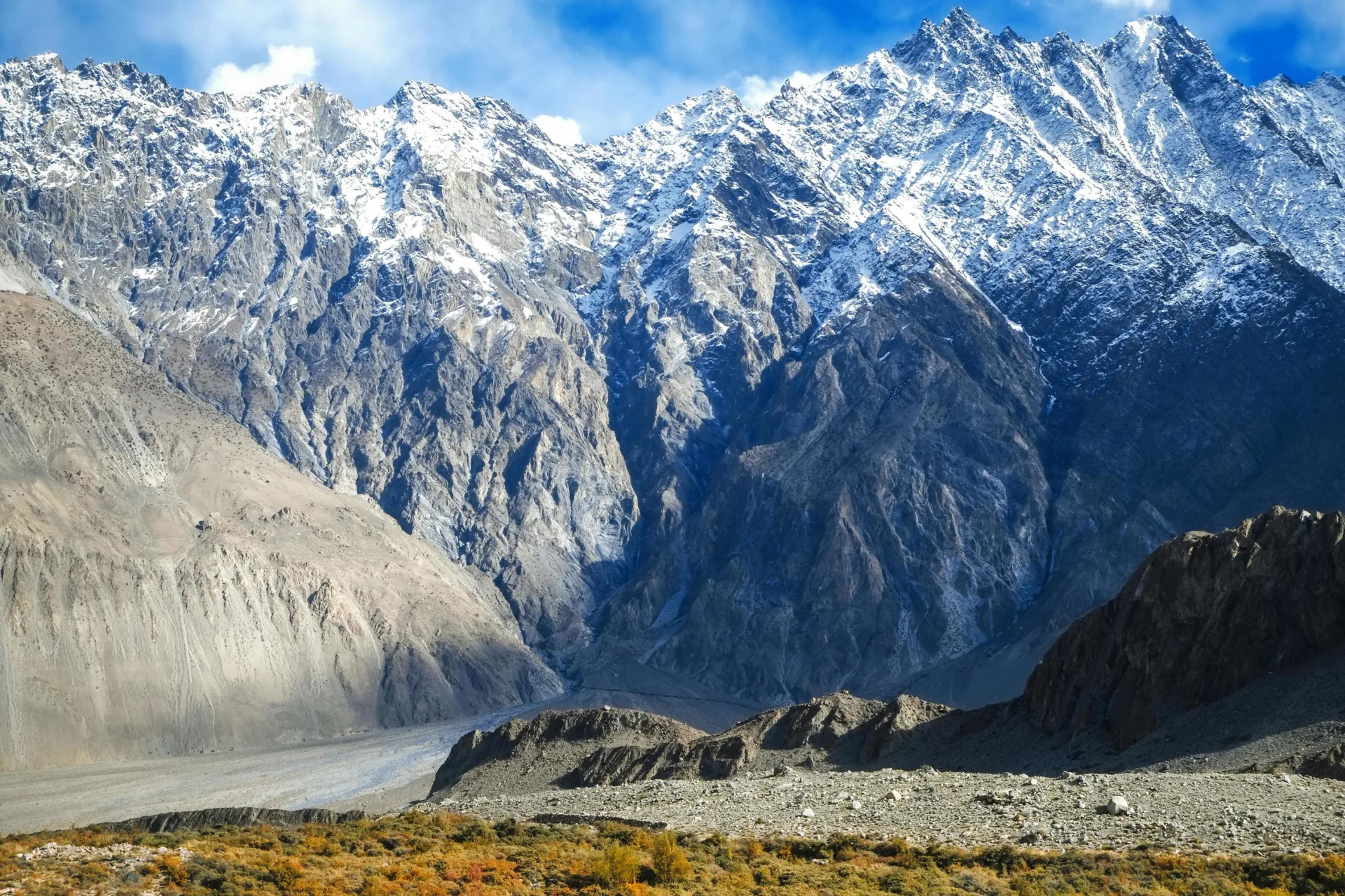
Minglik Sar, also written Mingling Sar or Manglik Sar, stands in the Shimshal valley, part of Gojal in the upper Hunza district of Gilgit-Baltistan. It sits where the Karakoram meets the southernmost Pamir, close to the Wakhan Corridor and the Chinese border, inside Central Karakoram National Park. This is remote country: the trailhead village of Shimshal is the highest permanent settlement in the Hunza district, and the peak rises above the high summer pastures known as the Shimshal Pamir. It is a long way from the Hushe and Baltoro region further south, with which it is sometimes confused.
Why it is the ideal first 6000er
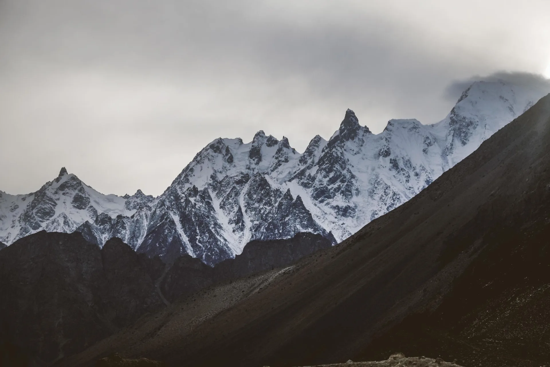
What makes Minglik Sar special is how little technical climbing it asks for a genuine 6,000-metre summit. The standard line is a snow peak with slopes of around 30 to 35 degrees, with no rock pitches or vertical ice, so it is classed as a trekking peak rather than a technical expedition. Fit hill-walkers who are comfortable using crampons and an ice axe and moving roped on a glacier can realistically reach the top. It is the natural step up from a high trek, and the logical rung before bigger objectives such as Spantik or the 7,000-metre peaks.
Shimshal village and the road in
The journey begins at Shimshal, a remarkable village at about 3,113 metres that had no road at all until 2003, when the community finally completed a 56-kilometre jeep track up from the Karakoram Highway at Passu. The drive is an experience in itself, a narrow unpaved road carved through gorges high above the Shimshal river. Shimshal is famous for producing many of Pakistan's strongest mountaineers, and time spent in the village is part of the trip, both for acclimatisation and for the welcome.
The Shimshal Pass and the Pamir
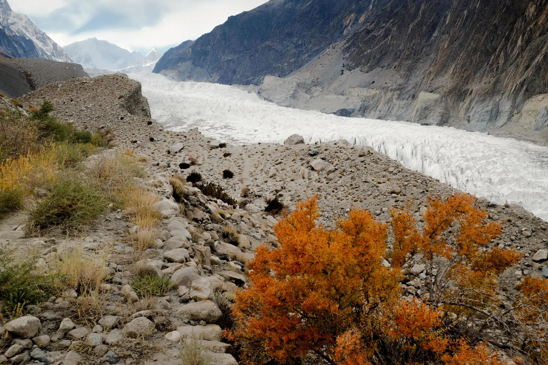
Above the village the valley opens into the Shimshal Pamir, a vast high grazing land that local families use for roughly six months of the year, herding yaks and making butter and cheese at summer settlements such as Shuwert. The Shimshal Pass itself sits at 4,735 metres. The trek up to these pastures is among the most rewarding in the Karakoram, and Minglik Sar rises directly above them, which is why the climb and the Shimshal Pass trek are almost always done together.
The route and base camp
From Shimshal village the approach heads up through the gorge and onto the Pamir over several days, gaining height gradually for acclimatisation. Base camp is set near the foot of the peak, by the lakes below the Shimshal Pass, a few hours from the pastures. Most teams take a rest and acclimatisation day here, often with a practice hike to around 4,600 metres. Summit day is long but straightforward: climbers usually leave around 2 a.m., and the round trip takes nine to ten hours with roughly 1,500 metres of ascent on snow to the top and back.
How hard, and how dangerous?
Minglik Sar is non-technical, but it is not effortless. The real challenges are altitude and stamina rather than difficulty. At 6,050 metres it is high enough to demand proper acclimatisation, and the summit day is a sustained snow plod at thin-air pace. The main hazards are crevasses on the glacier, changeable mountain weather, and the effects of altitude, all managed with sensible roping, a measured schedule, and a guide who knows the ground. With good acclimatisation and reasonable fitness, the success rate is high by Karakoram standards.
First ascent and history
Minglik Sar was first climbed in 1988 by Nazir Sabir, one of Pakistan's most celebrated mountaineers and the first Pakistani to summit K2. The peak has since become a staple of the Shimshal climbing scene, a community that has produced a remarkable number of high-altitude porters and summiteers for its size. For most visitors today it is a guided trekking-peak ascent rather than a pioneering climb, but it carries the name of one of the country's mountaineering greats.
Best time to climb
The season runs broadly from June to September, when the Shimshal Pamir is green, the pastures are in use, and the snow on the peak is in reasonable condition. July and August are the most settled and the busiest; September can bring crisper air and quieter pastures as the herders start to come down. Outside this window the high road and passes are difficult and the valley turns hard and cold.
Getting to Shimshal
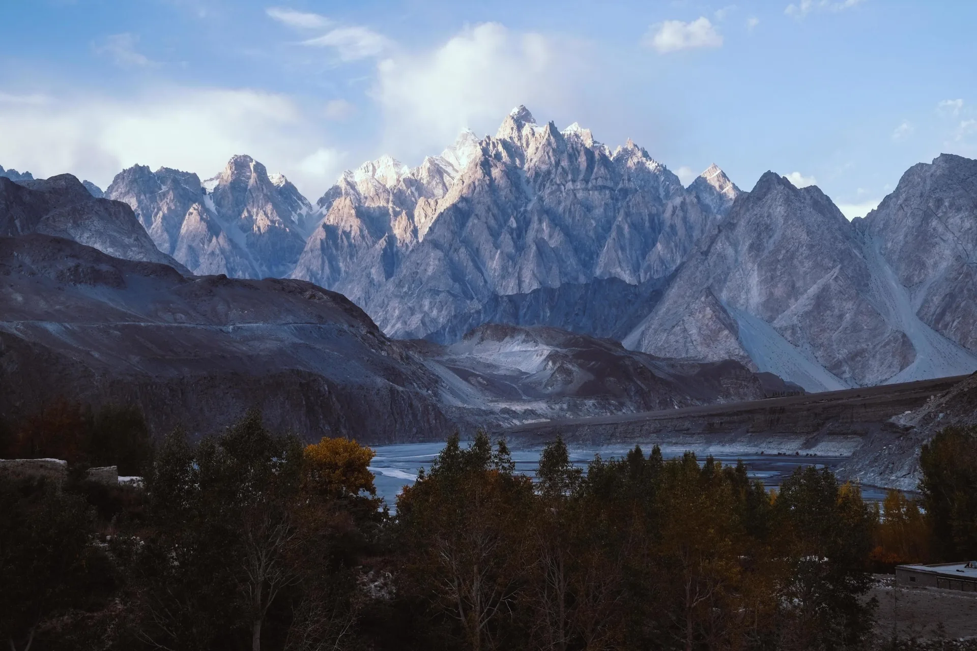
Reaching the trailhead is part of the adventure. From Islamabad it is a long drive or a short, weather-dependent flight to Gilgit, then up the Karakoram Highway to Passu in upper Hunza, usually with a night in Hunza to acclimatise and enjoy the valley. From Passu, 4x4 jeeps take the 56-kilometre mountain road into Shimshal, a half-day of dramatic driving. The whole trip, including the trek in, acclimatisation, the climb, and the return, typically runs 15 to 22 days. The Passu Cathedral stands right beside the highway turn-off.
Permits and cost
As a trekking peak, Minglik Sar is far simpler and cheaper to arrange than the big royalty peaks, but climbing it still involves park and peak fees for Central Karakoram National Park, Shimshal community charges, and a guided logistics package covering the trek, camps, and climbing support. Costs depend on group size, length, and how much of the Shimshal Pass trek you add, so the figure on this page is indicative and we quote each trip individually.
Go With Guide Pakistan runs Minglik Sar as a combined Shimshal Pamir trek and first-6000er climb, with local Shimshali guides who grew up in this valley. If you want the full Shimshal Pass trek with a summit at the end or a focused climb, tell us your experience and timeframe and we will shape the itinerary around it.
Climbing History
1988
First Ascent
First Ascent
Nazir Sabir, the first Pakistani to summit K2, made the first ascent of Minglik Sar, putting the Shimshal snow peak on the map.
1990s-2000s
A Shimshali peak
A Shimshali peak
Shimshal's mountaineering community adopted Minglik Sar as a training and guiding ground, and local climbers and porters built deep knowledge of the Pamir approaches.
2010s
The first 6000er
The first 6000er
As Pakistan drew more trekkers, Minglik Sar became established as the country's go-to first 6,000-metre climb, usually paired with the Shimshal Pass trek.
2020s
Growing popularity
Growing popularity
Rising interest in accessible Karakoram summits now brings a steady stream of climbers to the Shimshal Pamir for their first 6,000-metre peak.
Recommended Reading
And Death Walks With Them: Above Eight Thousand Metres with Pakistani Porters from Shimshal
by Christiane Fladt (2008)
And Death Walks With Them: Above Eight Thousand Metres with Pakistani Porters from Shimshal
by Christiane Fladt (2008)
Frequently Asked Questions About Minglik Sar
How high is Minglik Sar?
How high is Minglik Sar?
Minglik Sar is 6,050 metres (19,849 feet). It stands in the Shimshal valley of upper Hunza, on the edge of the Shimshal Pamir where the Karakoram meets the Pamir ranges.
Is Minglik Sar good for beginners?
Is Minglik Sar good for beginners?
Yes, Minglik Sar is widely considered Pakistan's best first 6000-metre climb, because it asks very little technical climbing for a genuine 6,050 m summit. The normal route is glacier walking and a long snow slope of about 30 to 35 degrees, with no rock pitches or vertical ice, so it is classed as a trekking peak rather than a technical expedition. That does not make it effortless. You should already be comfortable using crampons and an ice axe and moving roped on a glacier, and you need good fitness. Summit day usually starts around 2 a.m. and takes nine to ten hours for roughly 1,500 metres of ascent on snow to the top and back. The real challenges are altitude and stamina, and the main hazards are crevasses, changeable weather and the effects of height, managed with roping, a measured schedule and a guide who knows the ground. It is the logical rung before Spantik or the 7,000-metre peaks.
Where is Minglik Sar?
Where is Minglik Sar?
In the Shimshal valley, part of Gojal in the upper Hunza district of Gilgit-Baltistan, inside Central Karakoram National Park. It is not in the Hushe or Baltoro region, with which it is sometimes confused.
How do I get to Shimshal?
How do I get to Shimshal?
From Islamabad you either drive or take a short, weather-dependent flight to Gilgit, then continue up the Karakoram Highway to Passu in upper Hunza, usually with a night in Hunza on the way to acclimatise. At Passu, beside the Passu Cathedral, 4x4 jeeps turn off onto the 56-kilometre mountain road into Shimshal. The community only completed that jeep track in 2003, and it is a narrow unpaved road cut through gorges high above the Shimshal river, a half-day of dramatic driving. Shimshal village sits at about 3,113 metres and is the highest permanent settlement in the Hunza district, so time spent there helps your acclimatisation as well as giving you a chance to meet a community known for producing many of Pakistan's strongest mountaineers. From the village the approach continues on foot over several days, up through the gorge and onto the Shimshal Pamir pastures below the peak.
How long does the Minglik Sar trip take?
How long does the Minglik Sar trip take?
Plan on 15 to 22 days from Islamabad and back. The spread depends mainly on how much of the Shimshal Pass trek you add and how your acclimatisation goes. The journey out takes in the drive or weather-dependent flight to Gilgit, the Karakoram Highway to Passu with a night in Hunza, and the half-day jeep ride into Shimshal at about 3,113 metres. From the village the approach onto the Shimshal Pamir takes several days, gaining height gradually. At base camp, by the lakes below the Shimshal Pass, most teams take a rest and acclimatisation day, often with a practice hike to around 4,600 metres. Summit day itself runs nine to ten hours with roughly 1,500 metres of ascent, leaving around 2 a.m. After that comes the walk back to the village and the return down the valley to Islamabad. Tell us your experience and timeframe and we will shape the itinerary to fit.
When is the best time to climb Minglik Sar?
When is the best time to climb Minglik Sar?
The season runs from June to September, when the Shimshal Pamir is green, the pastures are in use and the snow on the peak is in reasonable condition. July and August are the most settled months and the busiest. September can bring crisper air and quieter pastures as the Shimshal herders start moving their yaks down from the high summer settlements such as Shuwert. Outside this window the high road and passes are difficult and the valley turns hard and cold, so we do not run the climb then. Timing also matters for the approach: local families use the Pamir for roughly six months of the year, and walking up through working summer pastures is part of what makes this trip special. Whatever month you choose, allow for changeable mountain weather on summit day, and remember the flight to Gilgit is weather-dependent, which is one reason the trip is planned at 15 to 22 days rather than a fixed length.
Who first climbed Minglik Sar?
Who first climbed Minglik Sar?
It was first climbed in 1988 by Nazir Sabir, one of Pakistan's most celebrated mountaineers and the first Pakistani to summit K2.
Can I combine Minglik Sar with the Shimshal Pass trek?
Can I combine Minglik Sar with the Shimshal Pass trek?
Almost always, yes, and that is how most people do it. Minglik Sar rises directly above the Shimshal Pamir pastures, so the Shimshal Pass trek serves as both the approach and the acclimatisation for the climb. From Shimshal village at about 3,113 metres you walk up through the gorge onto the Pamir over several days, passing summer settlements such as Shuwert where families herd yaks and make butter and cheese. Base camp sits by the lakes below the Shimshal Pass, which is at 4,735 metres, a few hours from the pastures. After a rest day and often a practice hike to around 4,600 metres, you make the summit push on 6,050 m Minglik Sar. We run it as a combined Shimshal Pamir trek and first-6000er climb with local Shimshali guides who grew up in this valley. You can take the full trek with a summit at the end or a more focused climb.
What's Included
Not Included
Ready for Your Next Adventure?
Join our community of explorers and discover the journey of a lifetime. Our expert team is ready to help you plan your perfect expedition.