Valley Tour
Ghizer
Phandar Valley Tour
Gilgit to Phandar up the Ghizer River, about 165 km to the greenest valley in Gilgit-Baltistan
Gilgit to Phandar up the Ghizer River, about 165 km to the greenest valley in Gilgit-Baltistan
Last updated: · Reviewed by Javeed Iqbal, Founder
Duration
4-5 Days
Difficulty
Easy
Group Size
2-8 people
Best Season
May-Oct
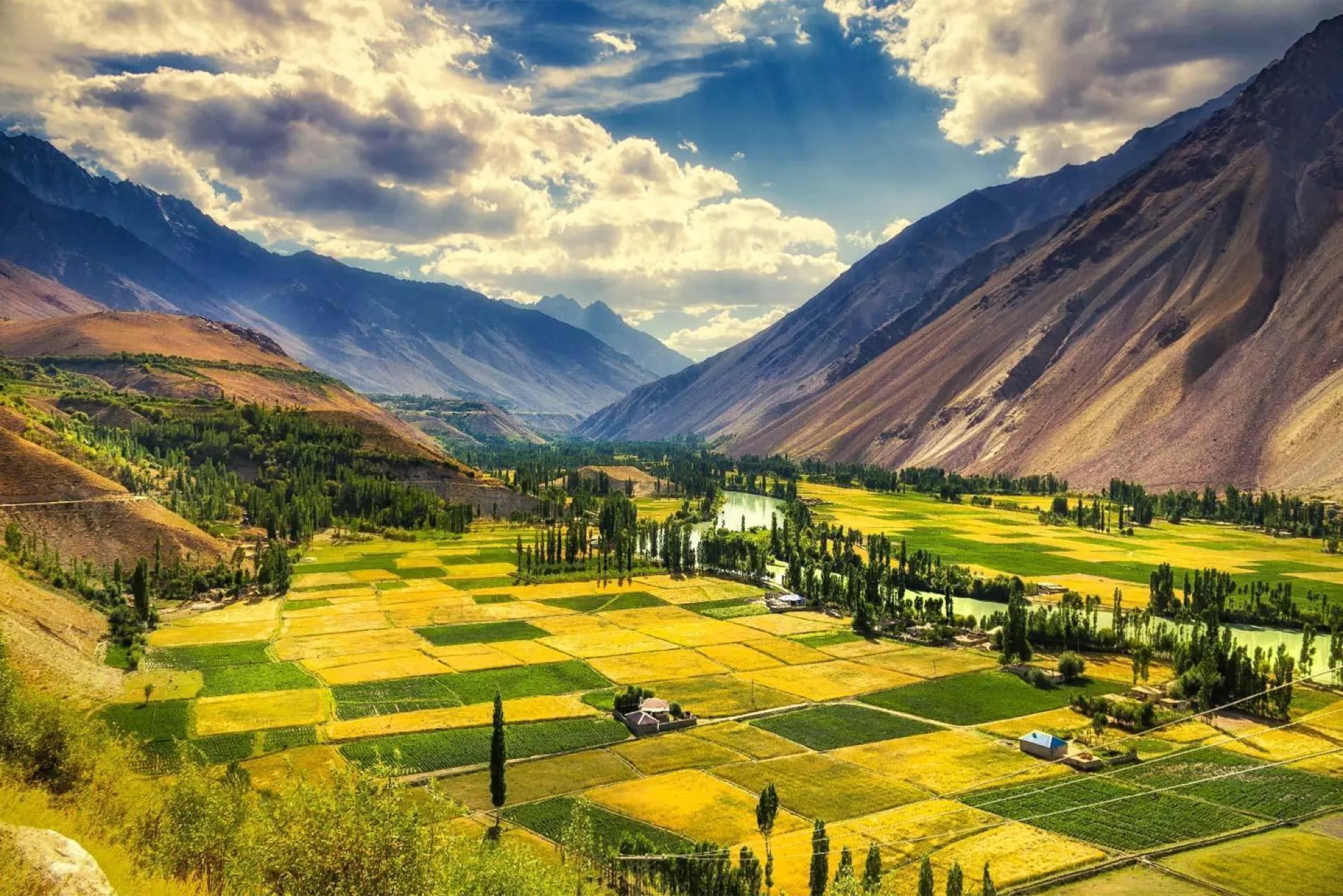
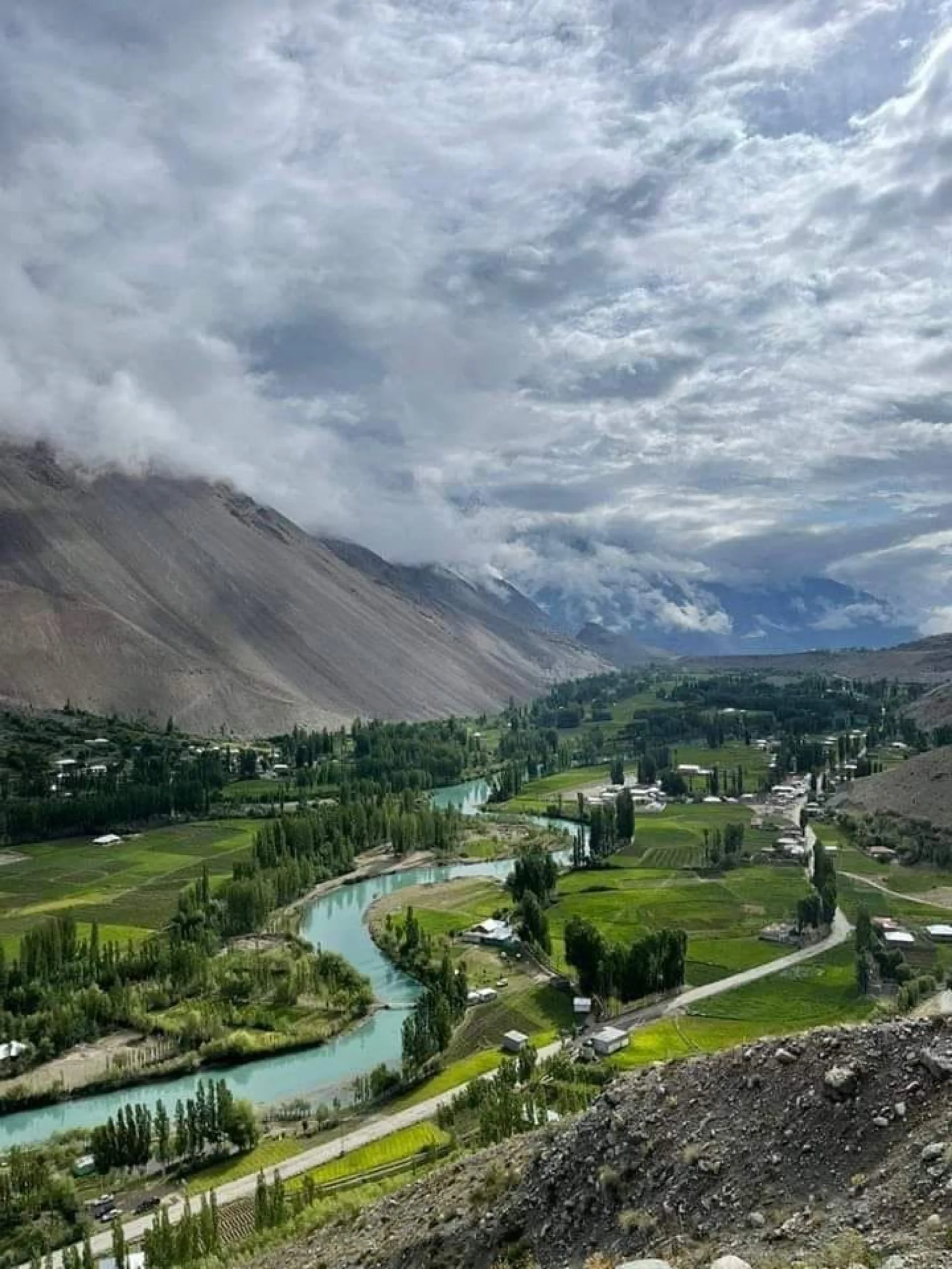
Phandar is the valley people mean when they say Gilgit-Baltistan has somewhere green. It sits about 165 km west of Gilgit on the road to Shandur, in Gupis-Yasin District, at about 2,900 m. The Ghizer River comes in as one channel, splits into several across the flat valley floor, and joins up again on the way out. Between the channels are barley terraces, poplar windbreaks and the long green lake that gives the place its name.
The drive from Gilgit takes five to seven hours. The road runs west along the Ghizer River through Gahkuch and Gupis, tarmac for most of it, patchy gravel in places, and passes Khalti Lake on the way. We run it in a 4x4 and stop where it is worth stopping rather than pushing straight through.
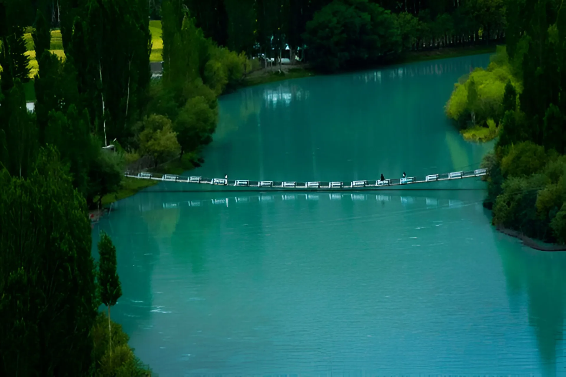
Phandar Lake is 900 m long, 460 m wide and 44 m deep, fed by the Ghizer River, and known locally as Nango Chatt. It holds brown trout, and fishing it is the main reason a lot of Pakistani travellers come. A permit is required from the local fisheries office; we arrange it. The water changes colour through the day, from grey-green early to deep turquoise by afternoon.
This tour is the valley on its own, at an unhurried pace: two nights at Phandar, a day on the lake and the side valleys, and time at Khalti and Handarap. If you want to carry on over the pass to Chitral, that is our Shandur Pass road trip; if you want the wider valley system from Gahkuch upward, see the Ghizer Valley tour.
From Gilgit the road heads west along the Ghizer River, through Singal and then Gahkuch, the district town, to Gupis. It is about 165 km in total and five to seven hours depending on surface and stops. As far as Gupis it is mostly sealed; after that it deteriorates in patches, and a 4x4 stops being a luxury.
Khalti Lake sits beside the road just past Gupis, a broad still stretch of water that freezes hard enough in deep winter for people to walk on it. Past Gupis the valley narrows and then opens again at Phandar, where the poplars and the terraces start. The last hour is the best of the drive.
Arrive Gilgit
Gilgit to Phandar via Gupis
Phandar Lake and the side valleys
Phandar to Gilgit
Departure
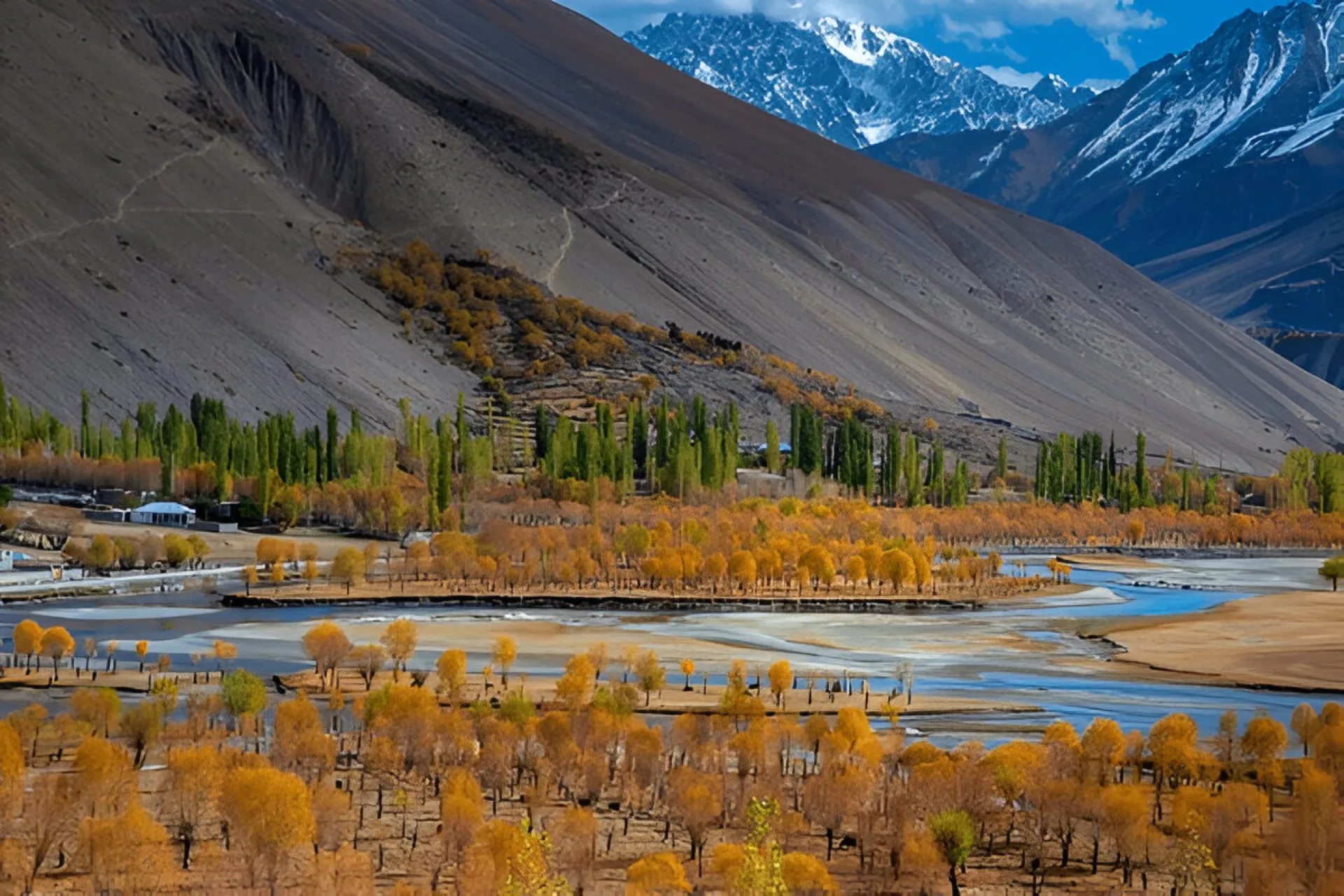
The valley is reachable roughly May to October. July and August are the warmest and busiest months, though at 2,900 m that still only means daytime highs around 17 C and nights close to freezing, so bring a warm layer whatever the Gilgit forecast says. Late September and October are the ones we would pick: the poplars turn gold, the crowds thin out, and the light is better. Daytime highs then sit around 10 to 15 C.
From about November the road gets unreliable and most guesthouses shut. The Shandur Pass beyond Phandar is snowed closed November to May, so a winter crossing to Chitral is not possible. If your dates are outside May to October, tell us and we will say plainly whether it is worth doing.
Gilgit is the gateway. Fly Islamabad to Gilgit, about an hour when the weather cooperates, or drive the Karakoram Highway in one to two days. From Gilgit it is about 165 km west to Phandar, five to seven hours by 4x4.
The road is sealed for most of the stretch to Gupis and rougher beyond. Landslides and washouts happen in spring and after heavy rain, so we build slack into the schedule. Mobile coverage is SCOM only and thin; expect to be offline for stretches, and tell people at home in advance.
People who want mountain scenery without a trek. There is no climbing and no long walking on this tour: Phandar Lake, Khalti and the valley floor are all reached by vehicle with short walks at each stop. The altitude tops out around 2,900 m, low enough that altitude sickness is not a real concern for most people.
It suits photographers, fishermen, families and anyone who would rather spend two nights in one valley than tick off six in a week. It is not for you if you want summit days or hard trekking; for that see our trekking tours.
Phandar is in Gupis-Yasin District, Gilgit-Baltistan, about 165 km west of Gilgit on the Gilgit-Shandur road, at roughly 2,800 to 2,900 m. The district was split off from Ghizer District in 2019, which is why older guides and some maps still file Phandar under Ghizer. Both refer to the same place. It is emphatically in Gilgit-Baltistan, not Khyber Pakhtunkhwa, though a few sites get that wrong.
Phandar Lake is the centrepiece: 900 m long, 460 m wide, 40 acres of surface and 44 m deep at its deepest, fed by the Ghizer River and called Nango Chatt locally. Brown trout were introduced generations ago and the fishing is genuinely good. A fisheries permit is required; we sort it before you arrive rather than leaving you to argue about it at the water.
The other thing people remember is the river. The Ghizer comes into the valley as one channel and immediately splits into several strands that thread between the fields, then merges again as it leaves. From the road above, it reads as a braid of turquoise across a green floor, and it is the shot everyone takes home.
We run this road ourselves rather than subcontracting it. That means our driver knows which sections after Gupis have gone bad this season, which guesthouse at Phandar is actually open, and where the fisheries office is. We arrange the trout permit, we carry a spare wheel and a jerrycan, and we do not put four strangers in your jeep.
Where is Phandar Valley?
How high is Phandar Valley?
How do I get to Phandar Valley from Gilgit?
What is the weather like in Phandar Valley?
When is the best time to visit Phandar?
Can you fish at Phandar Lake?
How big and how deep is Phandar Lake?
Do I need a 4x4 to reach Phandar?
Is Phandar Valley safe for tourists?
Is there mobile signal and internet at Phandar?
Can I combine Phandar with Shandur Pass or Chitral?
Where do you stay in Phandar Valley?
Join our community of explorers and discover the journey of a lifetime. Our expert team is ready to help you plan your perfect expedition.