Valley Tour
Ghizer
Ghizer Valley Tour
The full valley west of Gilgit: Gahkuch, Gupis, Khalti, Phandar and the climb to Shandur
The full valley west of Gilgit: Gahkuch, Gupis, Khalti, Phandar and the climb to Shandur
Last updated: · Reviewed by Javeed Iqbal, Founder
Duration
6-7 Days
Difficulty
Easy
Group Size
2-8 people
Best Season
May-Oct
Ghizer is the long valley running west from Gilgit toward Chitral, following the Ghizer River the whole way. Most people see it as a blur from the window on the way to Shandur. This tour treats it as the destination: six to seven days from Gahkuch up to the Shandur plateau, stopping at the lakes and villages that the road trip skips.
The valley climbs steadily. Gilgit sits at about 1,500 m; Gahkuch, the district town, is not much higher; Gupis and Khalti Lake follow; Phandar is at roughly 2,900 m; and Shandur Top, where the valley ends, is 3,720 m. Because it rises gradually over several days, acclimatisation happens on its own.
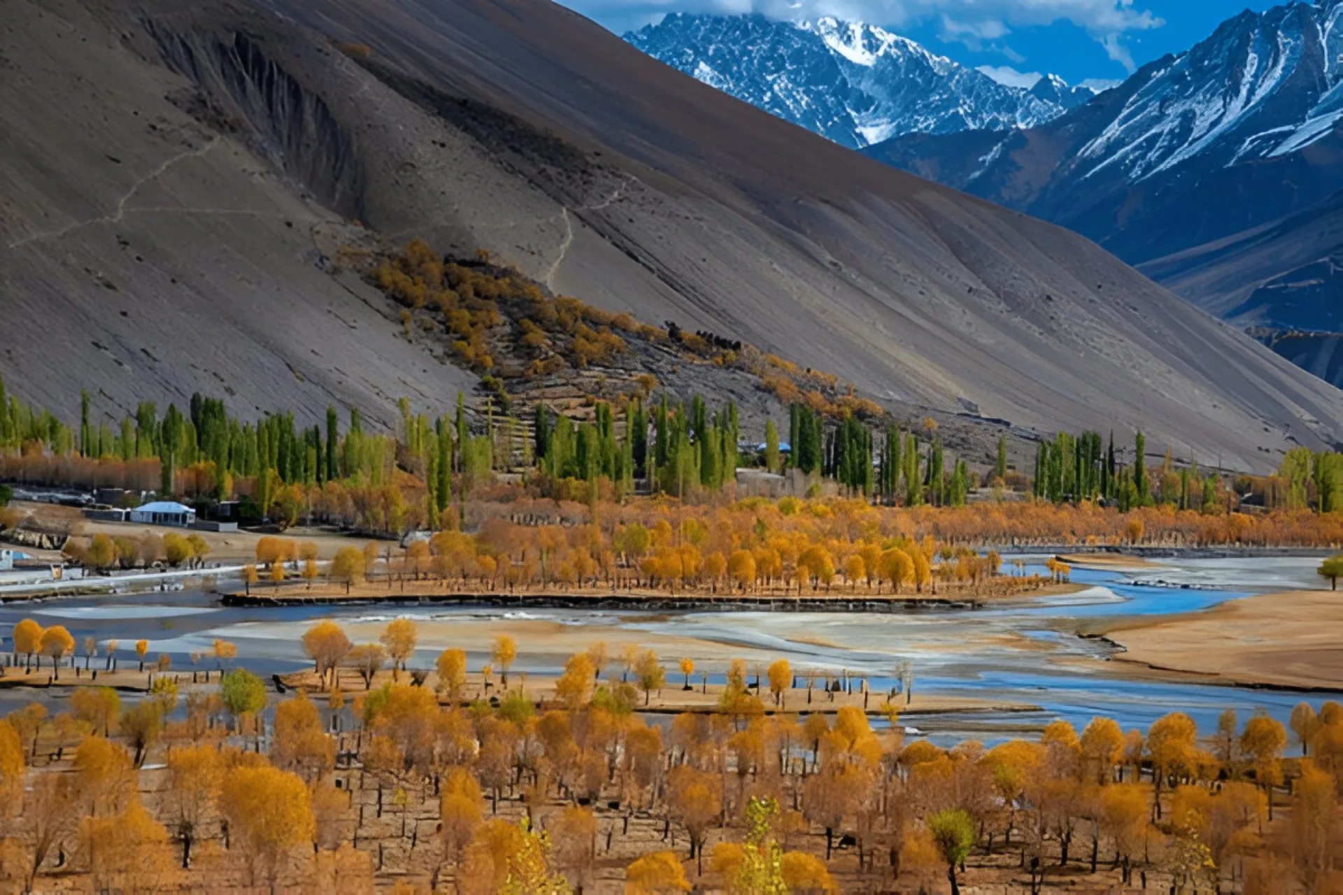
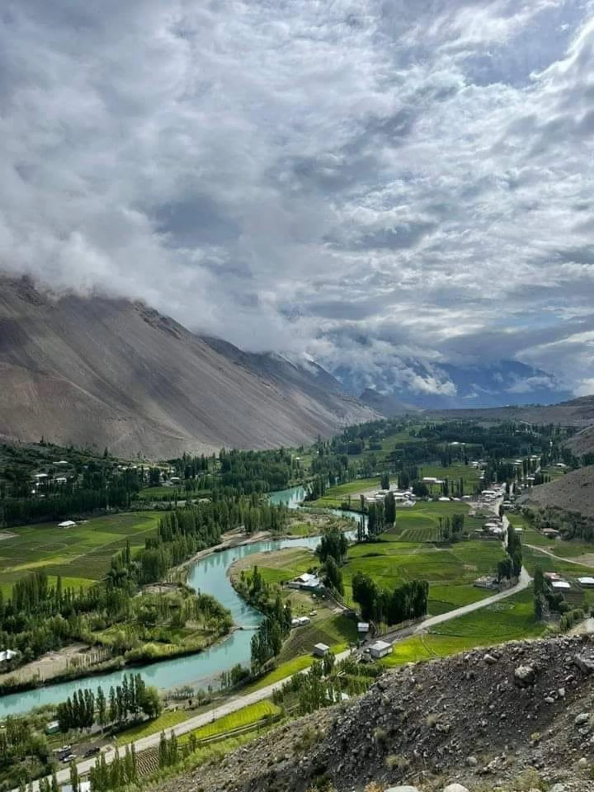
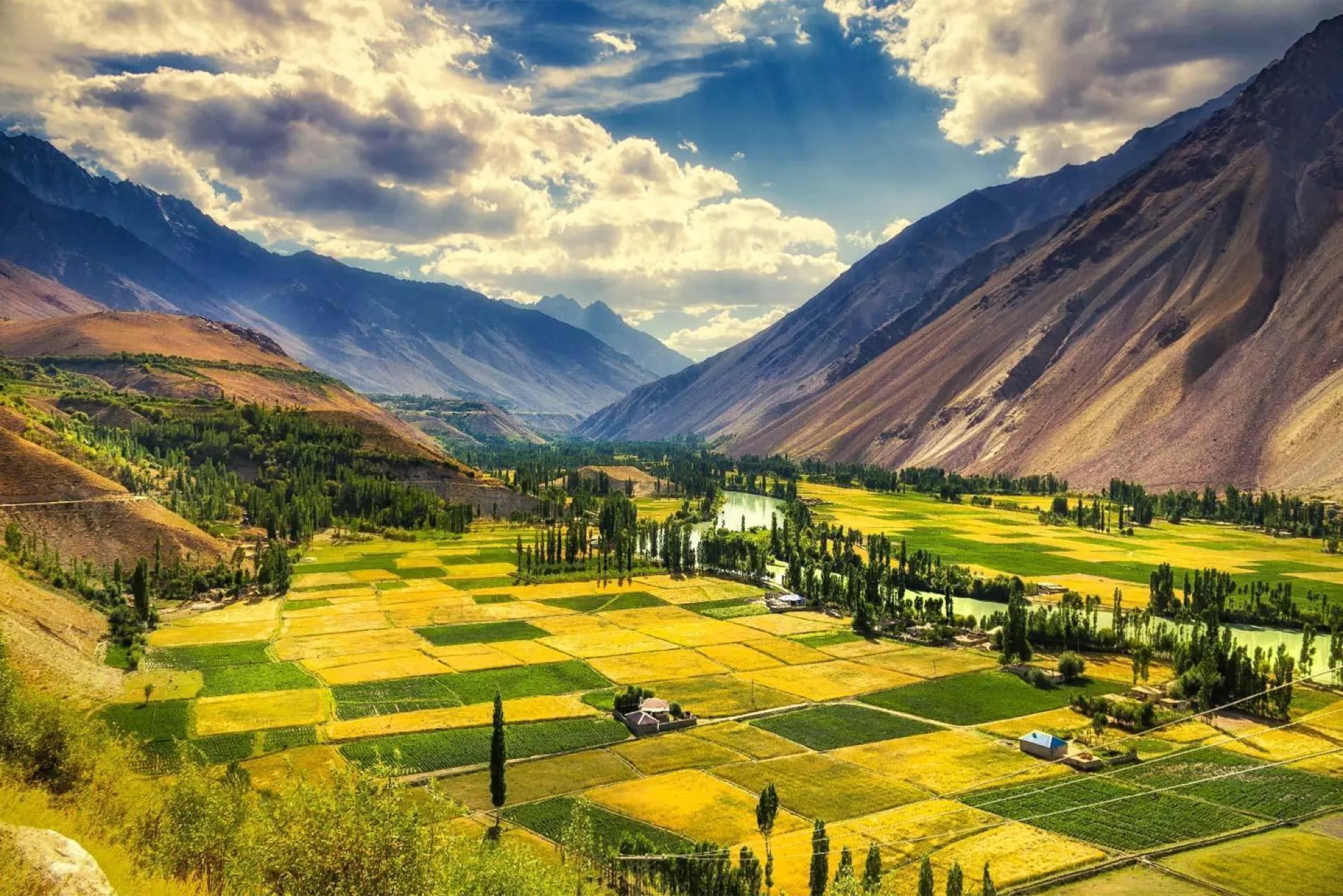
What makes Ghizer different from Hunza or Skardu is how green it is. Snowmelt feeds a wide floor of barley terraces and poplar windbreaks, and the river braids across it rather than cutting a gorge. The villages are largely Ismaili, literacy is high, and people feed travellers well and without fuss.
This is the wide version of the valley. If you only want Phandar and the lake at a slower pace, see our Phandar Valley tour. If you want to keep going over the top to Chitral, that is the Shandur Pass road trip.
West from Gilgit the road follows the Ghizer River through Singal at about 55 km, then Gahkuch at about 70 km, then Gupis at around 110 km. Khalti Lake sits by the road just past Gupis. Phandar is about 165 km from Gilgit, five to seven hours with stops. Beyond Phandar the track climbs another 45 to 50 km to Shandur Top at 3,720 m.
Surface is decent to Gupis and progressively rougher after. We run the whole thing in a 4x4. Spread over six to seven days it is a relaxed drive with short days, which is the point: the valley rewards stopping.
Arrive Gilgit
Gilgit to Singal
Singal to Gahkuch, Gupis and Khalti Lake
Gupis to Phandar
Phandar and Handarap
Phandar to Shandur Top and back
Return to Gilgit and departure
May to October. The lower valley around Gahkuch and Gupis opens earlier and closes later than the top; Shandur itself is snowbound from about November to May, so the plateau day only works in that window. July and August are warm and green with the most domestic traffic on the road.
Late September into October is our pick. The poplars along the whole valley turn at once, the light is low and clean, and the guesthouses are quiet. Nights get cold, especially if you go up to Shandur, so bring a warm layer whatever the forecast says for Gilgit.
Everything starts at Gilgit: an hour's flight from Islamabad when the weather allows, or one to two days on the Karakoram Highway. From there the valley road runs west, sealed and reasonable to Gupis, then progressively rougher through Phandar and up to Shandur.
Spring and early summer bring washouts and the occasional landslide; we keep spare time in the itinerary rather than promising a fixed arrival. Mobile coverage is SCOM only past Gahkuch and unreliable beyond Gupis.
Travellers who have done Hunza or Skardu and want somewhere with far fewer people, and first-timers who would rather see one valley properly than three in a rush. There is no trekking beyond short walks, and the altitude builds slowly over the week.
It suits photographers, fishermen and anyone curious about Ismaili village life in the western valleys. It is not a climbing or trekking trip; for that see our trekking tours or the mountaineering expeditions.
Ghizer is the westernmost part of Gilgit-Baltistan, running from Gilgit up to the Shandur Pass on the Khyber Pakhtunkhwa border. Administratively it was one district until 2019, when Gupis-Yasin was split off; Gahkuch remains the headquarters of what is still called Ghizer District, while Gupis, Phandar and Yasin now sit in Gupis-Yasin. Guides written before 2019, and plenty written since, still treat the whole thing as Ghizer.
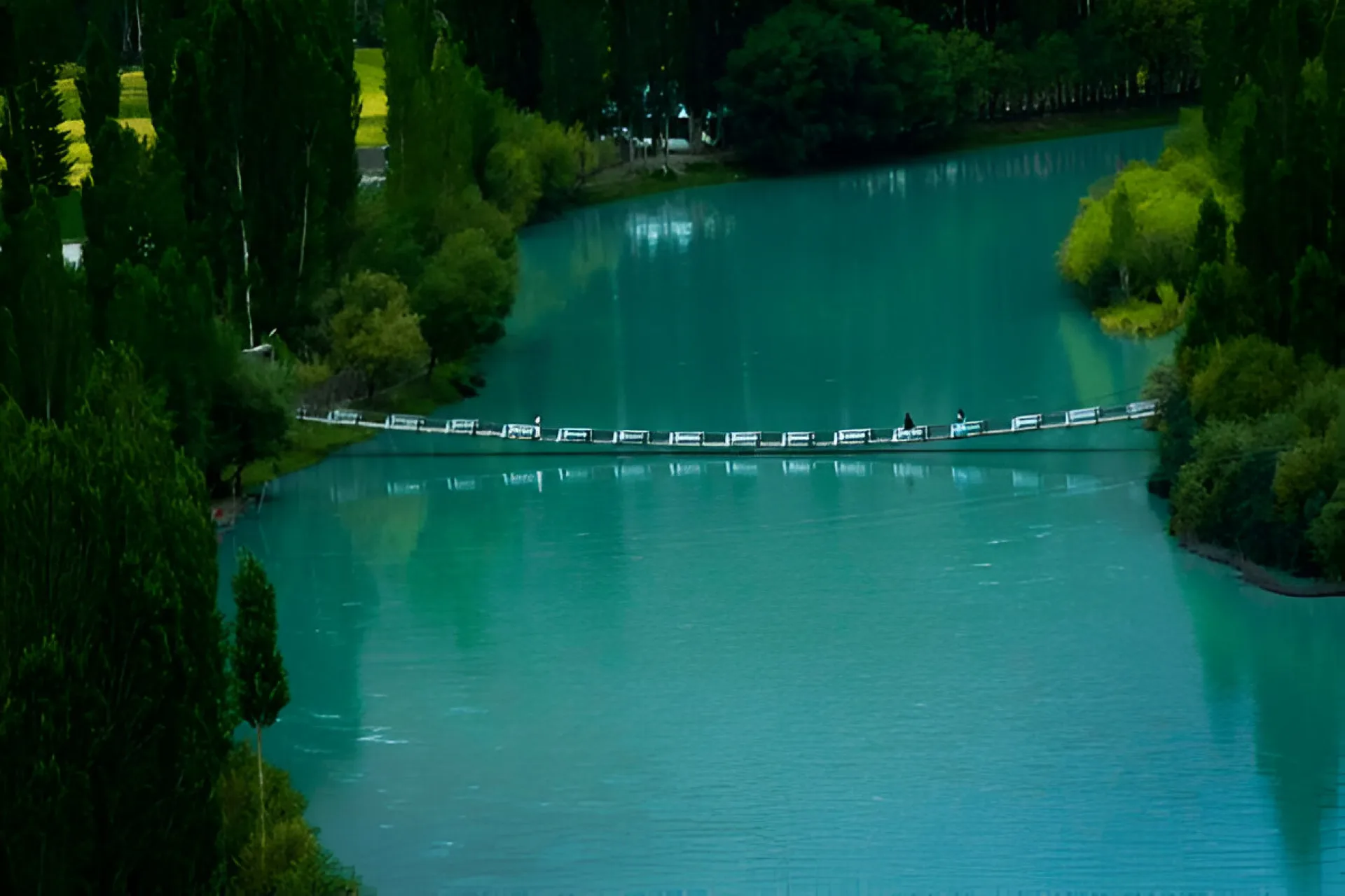
The valley is strung with them. Khalti Lake, beside the road just past Gupis, is broad and shallow and freezes hard enough in deep winter to walk on. Phandar Lake, 900 m long and 44 m deep, is the famous one and the best trout water. Handarap sits up a side valley above Phandar. Shandur Lake lies on the plateau at the top, shallow and cold beside the polo ground.
All of them hold trout, and all of them need a fisheries permit, which we arrange. The lakes are also the reason the drive is worth breaking up: each is an hour or two apart, and stopping at them is what turns a long transit into a week.
We drive this valley regularly and we are honest about it: the road is rough in places, the guesthouses are simple, and there is no luxury tier in Ghizer. What we can promise is a private jeep, a driver who knows the current state of every section, permits arranged in advance, and an itinerary with enough slack that a washout does not wreck the week.
Where is the Ghizer Valley?
How long does the Ghizer Valley tour take?
Is Ghizer District the same as Gupis-Yasin?
What lakes are in the Ghizer Valley?
How high does this tour go?
When is the Ghizer Valley road open?
Do I need a 4x4 for the Ghizer Valley?
Is the Ghizer Valley safe?
Can I fish in the Ghizer Valley?
What is the accommodation like?
Can I combine Ghizer with Chitral?
How is Ghizer different from Hunza?
Join our community of explorers and discover the journey of a lifetime. Our expert team is ready to help you plan your perfect expedition.