KKH Motorcycle Expedition
Eight days up the Karakoram Highway to the Khunjerab border at 4,693 m
Duration
8–10 Days
Difficulty
Moderate
Group Size
2–8 riders
Best Season
Apr–Oct
About This Tour
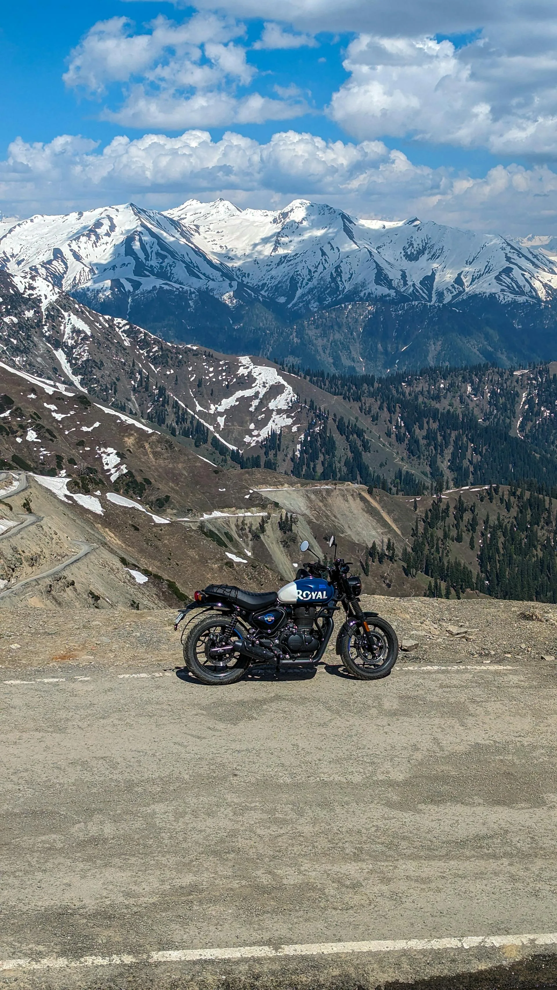
This is the full ride up the Karakoram Highway, Islamabad to the Khunjerab Pass at 4,693 m on the Chinese border, staged over eight days. The KKH, the N-35 in Pakistan's road numbering, follows the line of the old Silk Road through the Karakoram, Hindu Kush, and western Himalaya. It climbs from the Hazara plains into the Indus gorges and up through Hunza to the highest paved international border crossing in the world.
We run it as a guided group with a road captain leading and a sweep rider at the back, plus a support and mechanic vehicle carrying luggage, spares, and fuel. The route is staged into manageable daily distances, longer on the lower highway days and shorter on the high scenic ones. You ride the bikes; we manage the fuel milestones, the foreigner checkpost registrations, and the cold-weather logistics at the top.
Be straight about the route. The lower KKH from Mansehra toward Chilas, through Besham and Dasu, carries security advisories that change, so we hold two options in reserve: the main KKH line through the Indus gorges, or the Babusar Pass alternative that bypasses the Besham to Dasu stretch entirely. We pick based on current conditions and tell you which before you book. North of Gilgit the riding is the celebrated part, through Hunza to the pass.
The headline hazard is altitude. Khunjerab at 4,693 m is cold and windy with snow possible even in summer, and the thin air means you watch for mountain sickness on the final push. Add long-distance fatigue, jingle-truck traffic, the dark narrow Attabad tunnels, and weather swings, and it becomes clear why this is run guided with a support vehicle rather than solo.
The Route and Its Fuel Milestones
Plan the whole ride around fuel and services. From Islamabad you climb through Abbottabad toward Besham, the last big petrol and services town before the gorges. From there the road threads the Indus canyon to Chilas, or takes the Babusar alternative, then runs up to Gilgit, the main logistics hub. Beyond Gilgit it is Karimabad in Hunza, then Sost, the customs and immigration town, and finally the climb to the Khunjerab barrier at 4,693 m.
Diesel is more widely available than petrol up north, which matters more for the support vehicle than the bikes, but it means you top up petrol at every town and never run a tank low. The gaps are real, and the Sost to Khunjerab leg in particular wants a full tank and a reserve in mind. We carry fuel in the support vehicle for the long stretches.
Day-by-Day Itinerary
1Islamabad: Bike Check and Briefing
Islamabad: Bike Check and Briefing
2Islamabad to Besham, about 290 km
Islamabad to Besham, about 290 km
3Besham to Chilas
Besham to Chilas
4Chilas to Gilgit
Chilas to Gilgit
5Gilgit to Karimabad, Hunza
Gilgit to Karimabad, Hunza
6Karimabad to Passu through the Attabad Tunnels
Karimabad to Passu through the Attabad Tunnels
7Passu to Sost to Khunjerab Pass, 4,693 m
Passu to Sost to Khunjerab Pass, 4,693 m
8Return Ride South to Islamabad
Return Ride South to Islamabad
What Bike You'll Ride and What It Costs
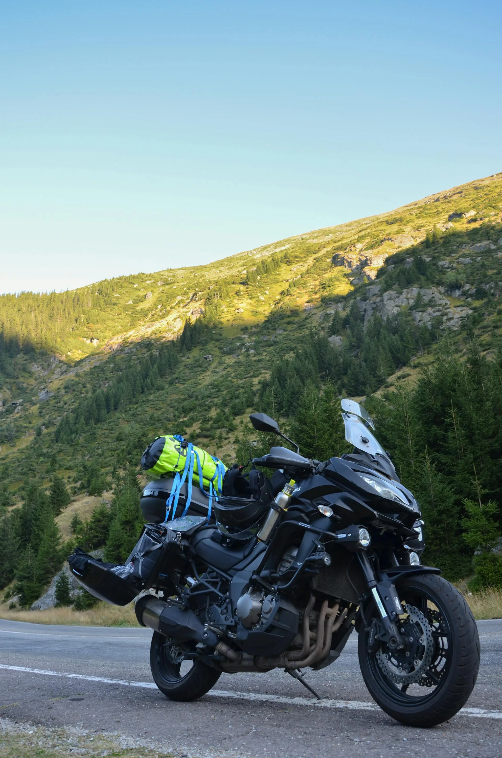
Rentals come out of Islamabad and Rawalpindi. The fleet is a 125cc to 150cc class machine: Honda CG125, Suzuki GS150 or GS150SE, Honda CB150F, Yamaha YBR125, with a few larger dual-sport and adventure bikes from premium fleets. Day rates run roughly 10 to 21 US dollars depending on the model, usually including helmet, knee and elbow pads, gloves, and a phone mount. The 150cc is the practical workhorse for a loaded long-distance ride and every northern mechanic knows it.
Renting needs your passport, a valid visa, and a foreign or international driving licence. You do not need a carnet de passage for a rental. A carnet only matters if you ship in your own machine on a temporary import, which is paperwork-heavy and a different undertaking. One thing the rentals do not let you do is cross into China: the border itself needs a Chinese visa and pre-arranged Chinese transport, so Khunjerab is the turnaround point either way.
Cold-Weather Gear for Khunjerab
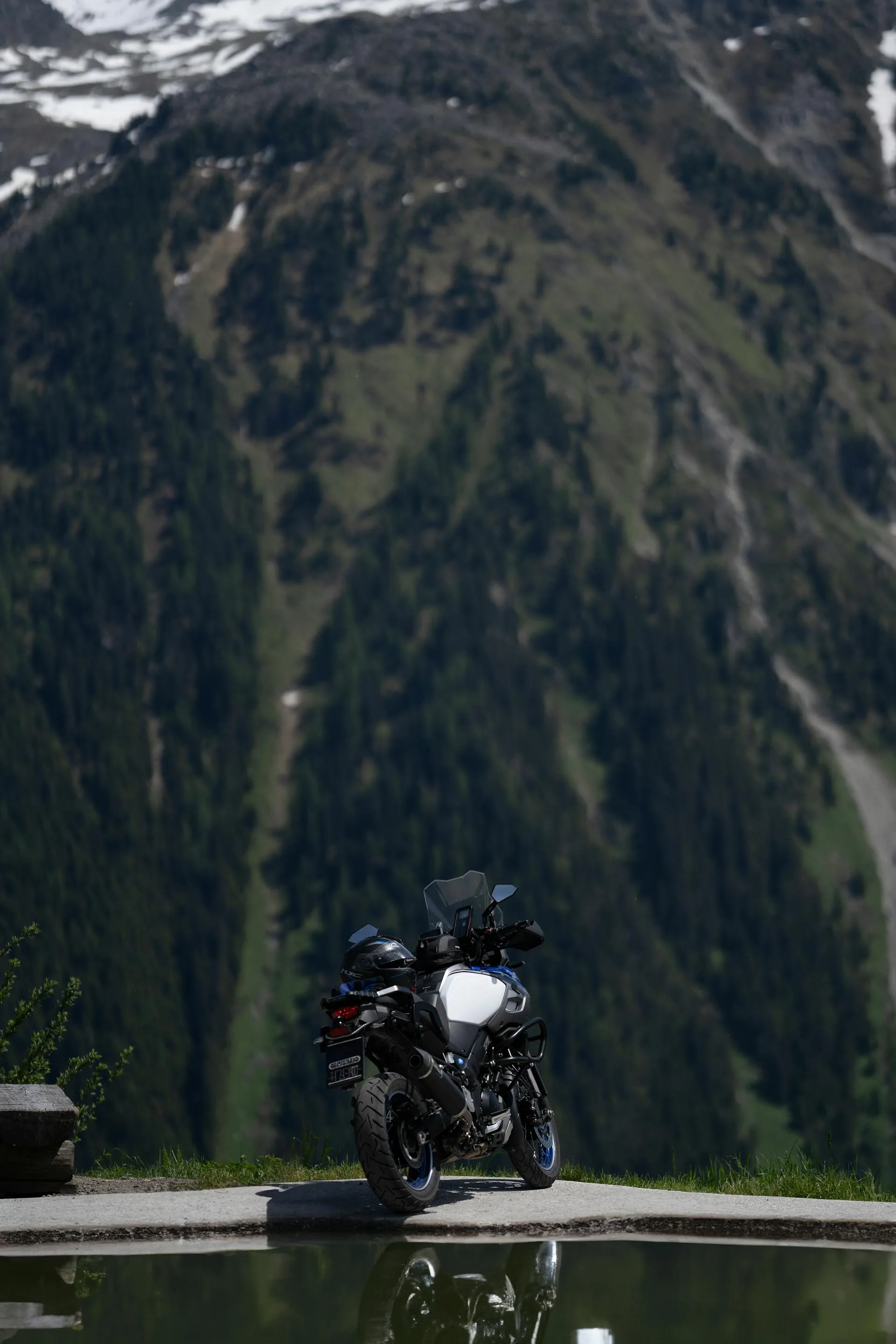
Khunjerab at 4,693 m is freezing and windy even in summer, so pack for it. Bring a full-face helmet, an armoured jacket and gloves, and layered cold-weather kit you can build up for the top, plus rain gear. The lower days can be hot, so you want layers you can shed on the climb out of the plains and add back on as you gain altitude.
The support vehicle carries the main luggage, which keeps the bikes light for the high passes. Sturdy boots, a buff against dust in the tunnels and roadworks, sunglasses, and high-SPF sunblock for the intense altitude UV finish the list. Strong lights help in the dark Attabad tunnels.
Who This Tour Is For
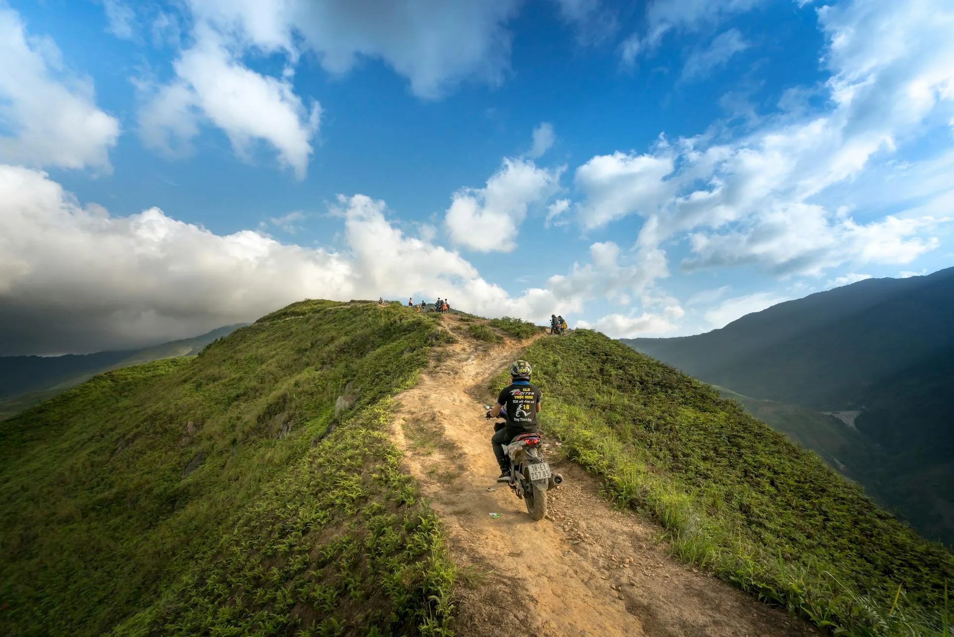
This is for an experienced rider ready for distance and altitude. Eight days of mountain highway, a 4,693 m pass, jingle-truck traffic, and cold at the top add up to a real expedition rather than a scenic cruise. You do not need to be a mechanic or a racer, but you should be comfortable on a loaded bike over long days and willing to ride within a led group.
If the full border run is more than you want, the same north is reachable in shorter forms. The Babusar loop covers the classic pass in six days and shares the alternative routing this expedition can use, and the Shandur ride trades the highway for remote gravel. See the Babusar tour at /tours/babusar-motorcycle/ and the Shandur adventure at /tours/shandur-motorcycle/.
Why Book With Us
We are a Gilgit-Baltistan operator running riders up the KKH since 2015. You get lead-and-sweep group riding with a road captain and tail, a support and mechanic vehicle carrying spares and fuel for the long gaps, and honest route calls on the Besham to Chilas security question rather than a glossed-over one. We handle the multiple foreigner checkpost registrations and the Khunjerab National Park fees so the ride stays a ride.
What's Included
Not Included
Frequently Asked Questions
Is the Karakoram Highway safe by motorbike?
Is the Karakoram Highway safe by motorbike?
Is the expedition worth it?
Is the expedition worth it?
How hard is it?
How hard is it?
Where are the fuel stops?
Where are the fuel stops?
When is the best time to ride to Khunjerab?
When is the best time to ride to Khunjerab?
What permits and registrations are needed?
What permits and registrations are needed?
Can I cross into China at Khunjerab?
Can I cross into China at Khunjerab?
What bike will I ride and do I need a carnet?
What bike will I ride and do I need a carnet?
Ready for Your Next Adventure?
Join our community of explorers and discover the journey of a lifetime. Our expert team is ready to help you plan your perfect expedition.